Road Photos and Information: Western Australia
Decommissioned State Routes

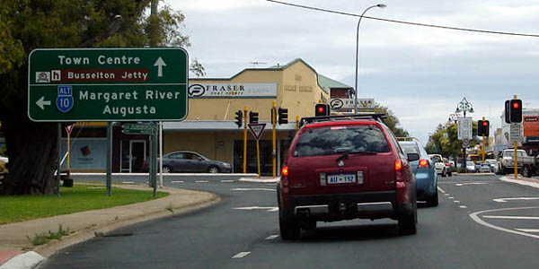
Distance sign, southbound at Reinscourt near Busselton. Image © Paul Rands.
State routes were introduced to Western Australia in 1986 to complement the existing National Route and National Highway systems. 1 It was established to simplify navigation for drivers. In 2003, the system consisted of 48 State Routes in the metropolitan area and 17 in the rural area 2, it has since expanded since then to include more routes.
This section features road photos and information about decommissioned State Routes and also proposed State Routes that were never officially implemented in Western Australia. Routes usually end up decommissioned due to route numbering changes or the importance of a route changes. This page also includes proposed routes that either ended up mapped or signposted, though not officially placed into service.
To view each gallery, click or tap on a route number or preview image below.
2 WA Government, Main Roads Western Australia, Route Numbering System brochure, March 2003.


