Statistics:
- Length:
- 12 km
- Termini:
- Eastern: Bussell Hwy (SR10), Busselton and Busselton Bypass (SR10), Busselton
- Western: Bussell Hwy (SR10) and Busselton Bypass (SR10), Abbey
- Suburbs, Towns & Localities Along Route:
- Abbey, Broadwater, West Busselton and Busselton
Route Numbering:
- Former: 10 10
- Road Authority Internal Classification: 1
- M043 (Abbey)
General Information:
Alternate State Route 10 was the old State Route 10 alignment through the town of Busselton. The town was bypassed in 2001, by the Busselton Bypass to the south of the town centre. Signs were either coverplated with a blank cover or with ALT-SR10 shields throughout the old alignment.
The route was more or less all single carriageway at both ends along Bussell Hwy at Abbey and Causeway Road at Busselton. In between those sections, the road varies from 2 to 4 lanes and passes directly through the central business district via Causeway Road and Queen Street, where it turns at the traffic lights on the corner Albert and Queen Streets. Bussell Highway was named after the Bussell family, some of the region's first European settlers.
History:
- 1894: Bussell Highway route constructed by MC Davies, a timber miller operating from Karridale to provide better access to Vasse and beyond, linking to the existing road to Bunbury.
- 2001: Busselton Bypass opened, and SR10 through the town becomes ALT-SR10.
- 2009: ALT-SR10 decommissioned.
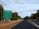
Advance Directional Sign:
Eastbound AD sign approaching the Caves Road / Bussell Hwy intersection (Monaghan's Corner) at Abbey, December 2007. This junction has since been upgraded to a roundabout and signage updated accordingly.
Image © Paul Rands
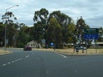
Causeway Road:
The exit from the eastern roundabout on the Busselton Bypass to Causeway Road, the eastern terminus of the former Alternate State Route 10. December 2007.
Image © Paul Rands
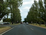
Cnr Causeway Rd & Rosemary Dr:
Heading northwest past Rosemary Drive, December 2007. It's hard to imagine this as the highway only a few years ago.
Image © Paul Rands
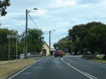
Vasse River:
Causeway Crossing over the Vasse River at Busselton, December 2007.
Image © Paul Rands
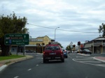
Cnr Albert & Queen Streets:
AD sign approaching on Queen Street (ALT-SR10) approaching Albert Street (ALT-SR10 and unnumbered) and Queen Street (unnumbered) intersection. ALT-SR10 used to turn left at these traffic signals. December 2007.
Image © Paul Rands
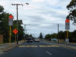
Typical Conditions:
Westbound in the school zone near Gale Street in Busselton, December 2007.
Image © Paul Rands
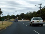
Kilometre Plate:
Westbound at West Busselton passing the kilometre plate for Margaret River, December 2007.
Image © Paul Rands
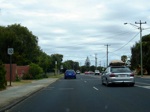
Incorrect Trailblazer:
Westbound reassurance marker with incorrect route number. It should be ALT-SR10 not NR10. December 2007.
Image © Paul Rands
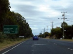
Distance Sign:
RD sign heading westbound at West Busselton, Devember 2007.
Image © Paul Rands
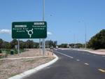
Advance Directional Sign:
Westbound AD sign approaching the Caves Road intersection at Abbey, January 2009. Click or tap here for a photo of this location by Paul Rands from December 2007.
Image © Paul Rands
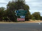
Intersection Directional Sign:
ID sign facing westbound / Bussell Hwy traffic at Abbey, December 2007. This junction has since been upgraded to a roundabout and signage updated accordingly.
Image © Paul Rands
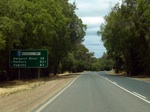
Distance Sign:
Southbound after the Caves Road intersection at Abbey, December 2007.
Image © Paul Rands
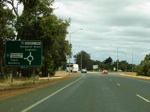
Advance Directional Sign:
AD sign for the Busselton Bypass / Bussell Hwy intersection at Abbey, December 2007.
Image © Paul Rands
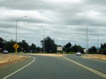
End ALT-SR10:
The western terminus of the former Alternate State Route 10, the corner of the Busselton Bypass and Bussell Hwy (SR10) at Abbey, December 2007.
Image © Paul Rands
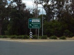
ID sign:
ID sign on the Busselton Bypass western roundabout facing traffic coming from the ALT-SR10 at Abbey. December 2007.
Image © Paul Rands
1 WA Government, Main Roads Western Australia, Road Information Mapping System.


