Statistics:
- Length:
- 3 km
- Termini:
- Eastern: Wanneroo Rd (SR60), Balcatta
- Western: Reid Hwy (SR3) and Mitchell Fwy (SR2), Balcatta
- Suburbs, Towns & Localities Along Route:
- Balcatta
Route Numbering:
- Current: none
- Proposed: 78
- Former: 77
- XX
General Information:
Located in Perth's northern suburbs, State Route 78 was a proposed minor arterial route that never ended up being signposted. 1 Sign designs for the route were completed 1 and it was also marked out of the Landgate Street Smart street directories.
The route would have serviced industrial and commercial areas in the Balcatta area. State Route 77 was once signposted along the route between Wanneroo Rd (SR60) and Erindale Rd. 1
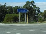
Intersection Directional Sign:
ID sign at Balcatta at the junction with Reid Hwy (SR3), June 2009.
Image © Paul Rands
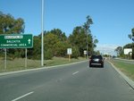
Directional Sign:
Directional sign near the Reid Hwy junction directing traffic to the Balcatta industrial area, June 2009.
Image © Paul Rands
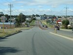
Balcatta:
Balcatta Rd (SR78) as it passes through Balcatta industrial area, June 2009.
Image © Paul Rands

Approaching Erindale Road:
Balcatta Rd (SR78) near Mumford Pl at Balcatta as it approaches Erindale Rd (SR77), June 2009.
Image © Paul Rands
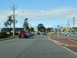
Trailblazer:
Old SR77 trailblazer on Balcatta Rd (SR78) near at Balcatta as it approaches Erindale Rd (SR77), June 2009.
Image © Paul Rands
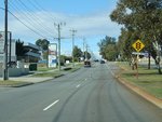
Approaching Natalie Way:
Balcatta Road (SR78) approaching Natalie Way, June 2009.
Image © Paul Rands
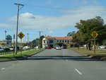
Approaching Wanneroo Road:
Balcatta Rd (SR78) approaching Wanneroo Rd (SR60), June 2009.
Image © Paul Rands
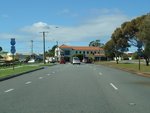
Trailblazer Assembly:
Trailblazer assembly with old SR77 shield approaching Wanneroo Road (SR60), June 2009.
Image © Paul Rands


