|
|
|
|
|
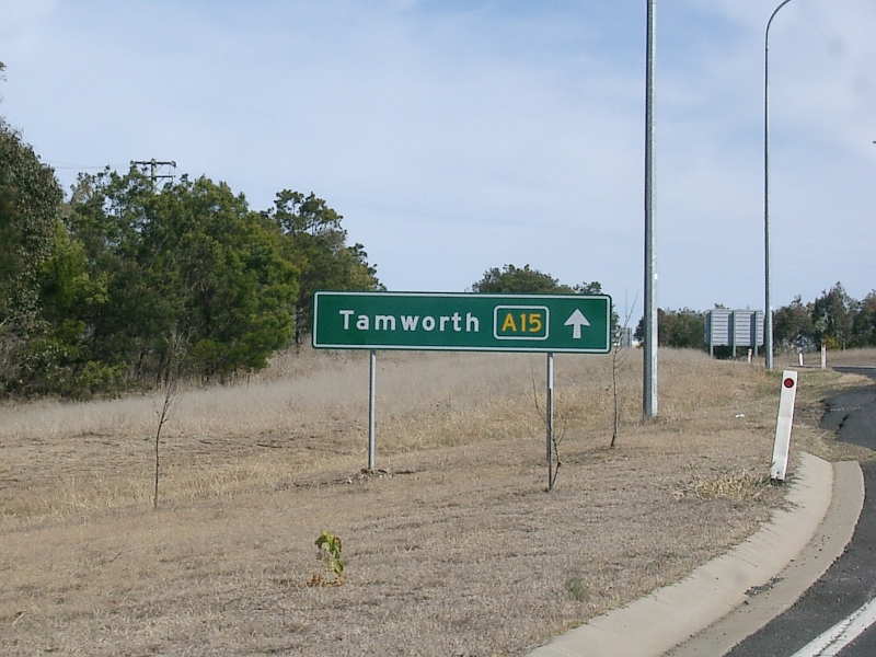
| M15 A15 | Parry Street, Donald Street, Griffiths Road, Newcastle Road, Thomas Street, Newcastle Link Road, Hunter Expressway & New England Highway (M15 / A15) - Tamworth to Armidale |
Statistics:
Route Numbering:


General Information:
M15 / A15 is one the major routes in New South Wales and Queensland. It links the farming regions of NSW to the ports at Newcastle and also to other major roads to Sydney and it's also a link to Brisbane's metropolitan area.
The route consists of single carriageway 2-lane rural highway, through to multi-lane divided sections and motorway standard closer to Newcastle.
Multiplexes along the route include:
History:
The New England Highway originally formed part of the Great Northern Road from Sydney via Wiseman's Ferry to the Queensland border (near Mt Lindesay), taking shape as settlement spread northward from the lower Hunter Valley. By 1851 the Great Northern Road had reached the Gap, two miles beyond Murrurundi. In 1858 it was classified as one of three Main Roads in the colony (Great Western and Great Southern) and extended from Morpeth via Maitland, Singleton, Muswellbrook, Scone, Murrurundi and Tamworth, to Armidale, a distance of about 236 miles. Captain Martindale, Chief Railway Commissioner, who was also responsible for roads, stressed the need for bridges as in many cases long circuits had to be made to find a crossing over a stream. In 1860 arrangements were in progress for building 90 culverts and minor bridges and for forming new sections of road, including a new ascent to Murrurundi Gap, which was previously steep with sharp dangerous turns. In 1865 the section of road between Muswellbrook and Murrurundi was metalled and a deviation suggested between Blandford and Murrurundi to skirt the Page River, obviating two bridges, however, such a deviation was never constructed. With the construction of the Northern Railway line from Newcastle, commenced in the 1850s and reaching Murrurundi in 1872, attention was diverted away from roads and sections of the Great Northern Road were in poor condition. Despite the impact of the railway, roads developed steadily and considerable progress was made in the bridging of rivers and creeks. 3
| Tamworth to Armidale | Armidale to Tamworth | |||
| Preview: | Description: | Preview: | Description: | |
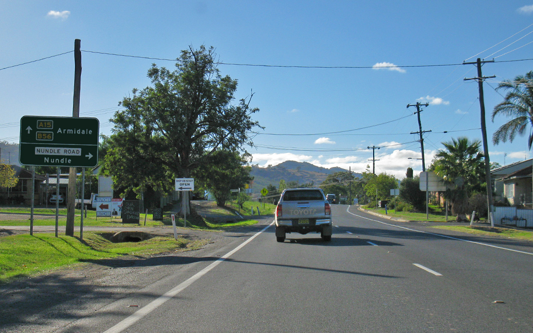 |
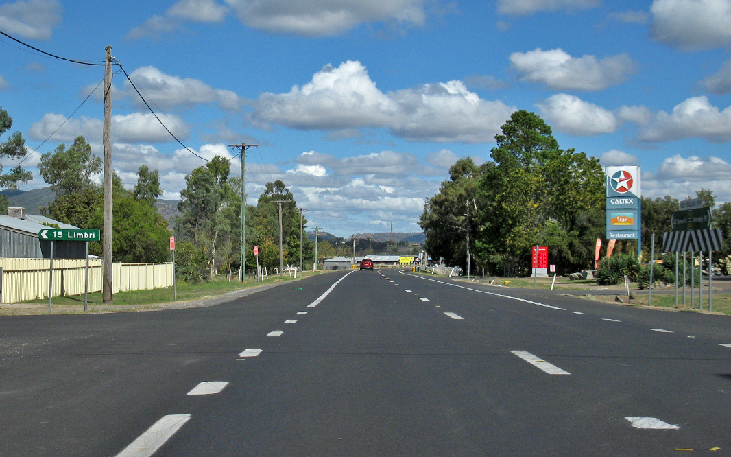
Advance Directional Sign: AD sign at Nemingha approaching Railway St and Nundle Rd, April 2019. Image © Paul Rands |
 |
Intersection
Directional Sign: Southbound ID sign on the roundabout with Urallla Rd at Armidale, May 2006. Image © Paul Rands |
|
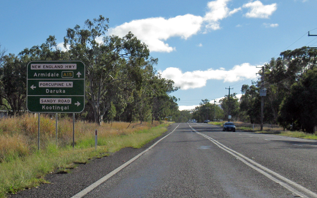 |
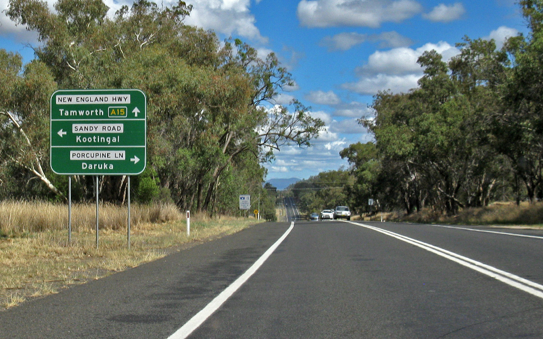
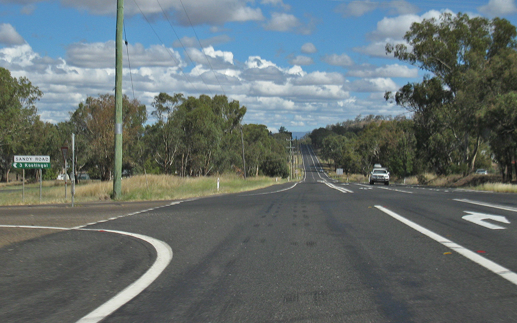
Advance Directional Sign: AD sign at Kootingal approaching Porcupine Ln and Sandy Rd, April 2019. Image © Paul Rands |
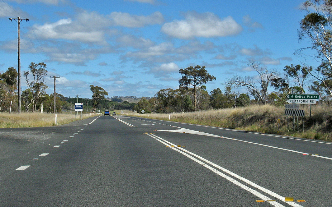 |
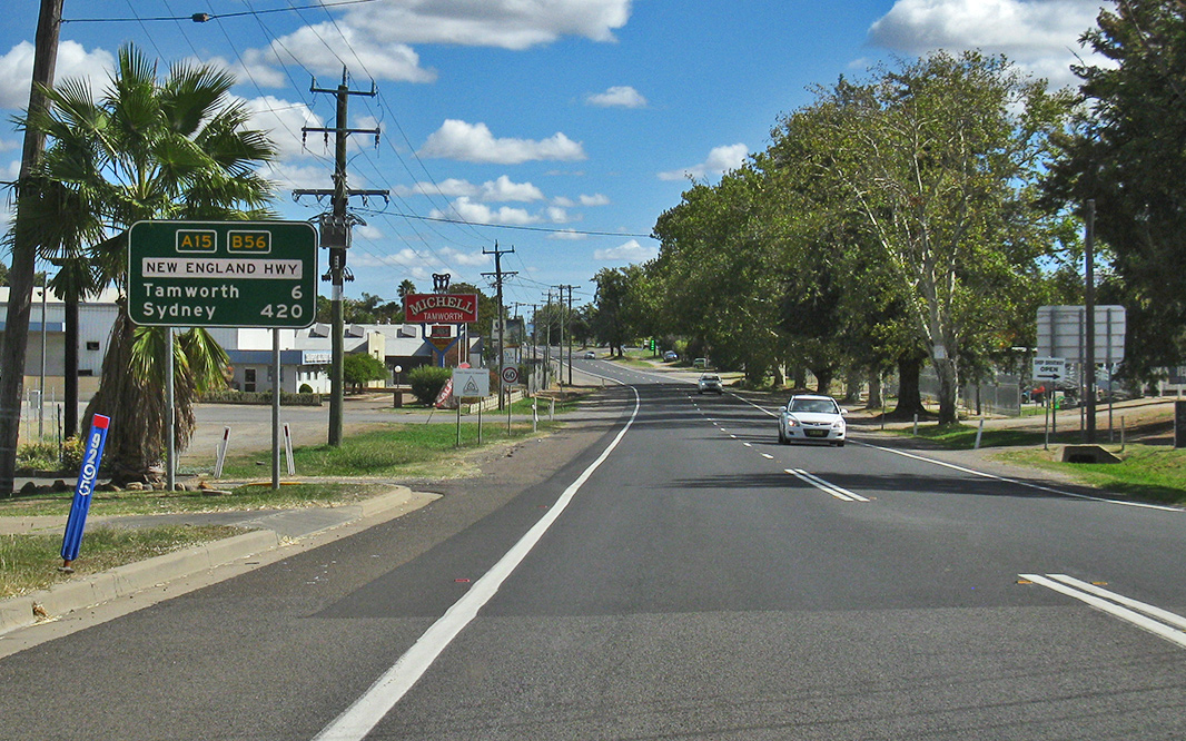
Platform Road: Corner of New England Hwy (A15) and Platform Rd at Armidale, April 2019. Image © Paul Rands |
|
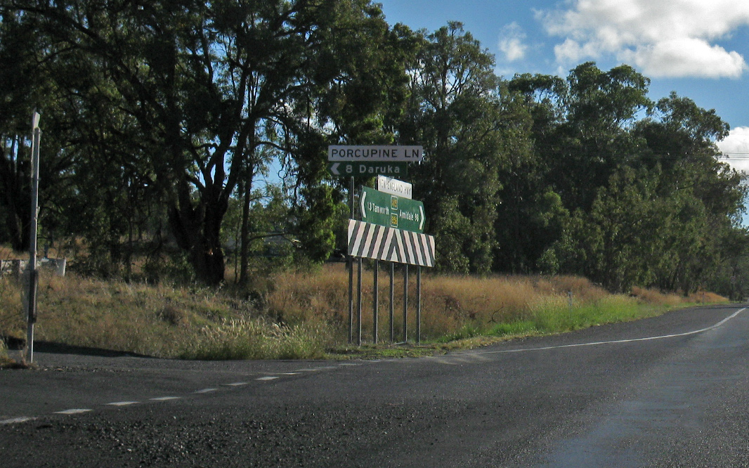 |
Intersection Directional Sign: ID sign assembly at the junction with Porcupine Ln and Sandy Rd at Kootingal, April 2019. Image © Paul Rands |
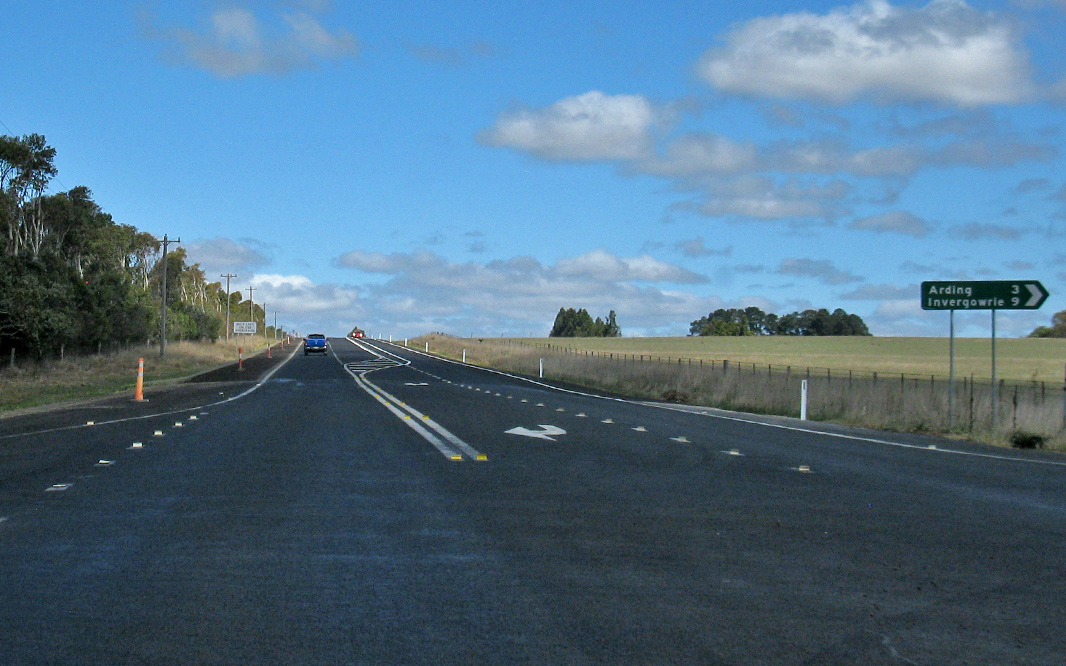 |
Saumarez War Service Road & Arding Road: Corner of New England Hwy (A15) Saumarez War Service Rd and Arding Rd at Saumarez, April 2019. Image © Paul Rands |
|
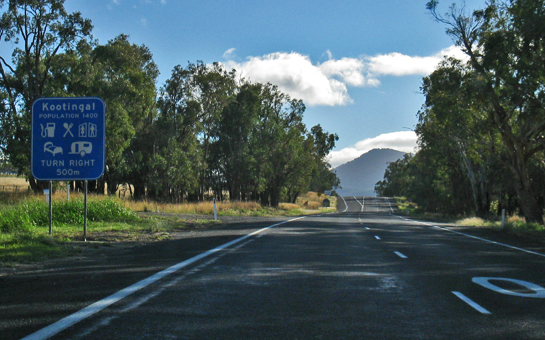 |
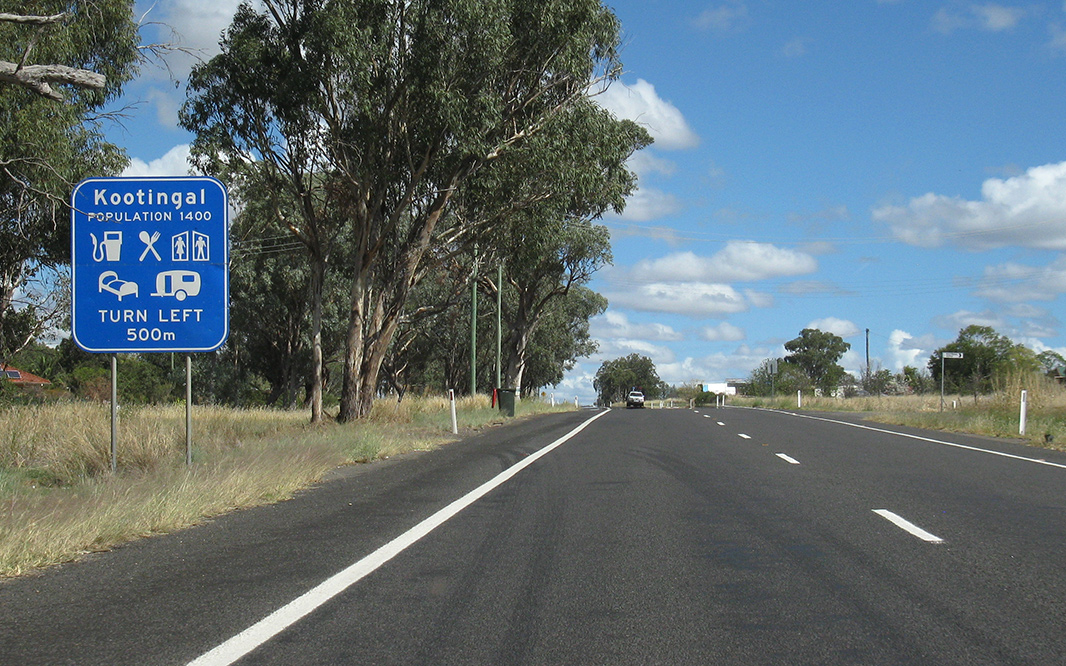
Services Sign: Services sign approaching Chelmsford St, Kootingal, April 2019. Image © Paul Rands |
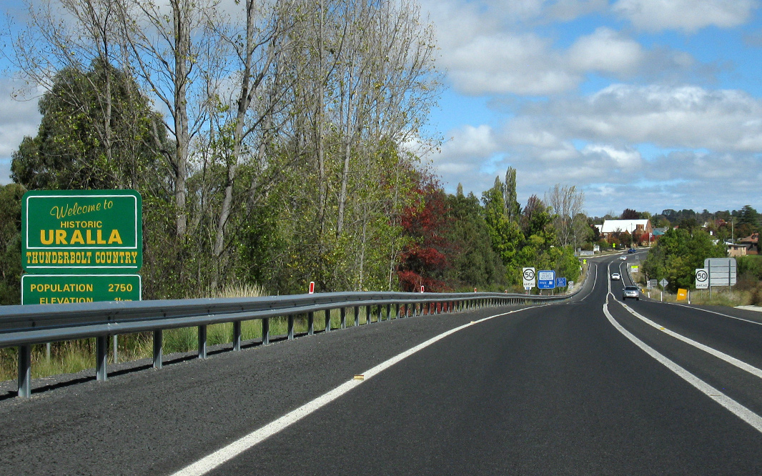 |
Uralla: New England Hwy (A15) as it enters the town of Uralla, April 2019. Image © Paul Rands |
|
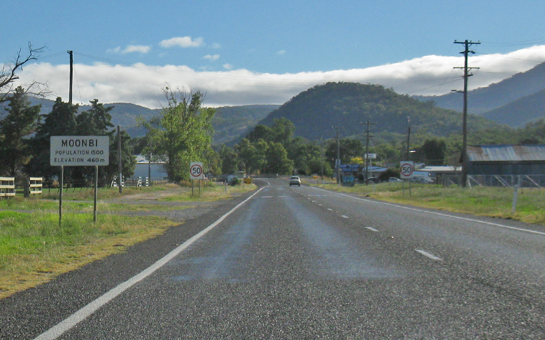 |
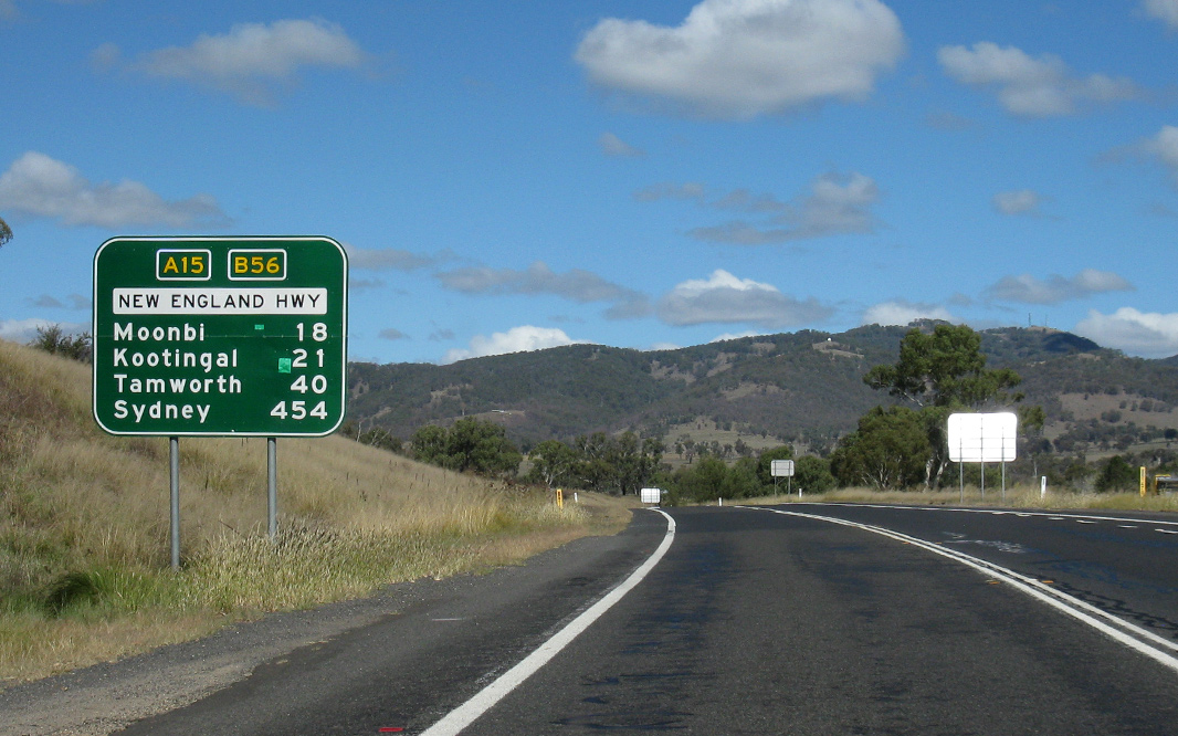
Moonbi: New England Hwy (A15 / B56) as it enters the town of Moonbi, April 2019. Image © Paul Rands |
 |
Supplemental Advance Directional Sign: Supplemental AD sign at Uralla, approaching Salisbury St (Thunderbolts Way (TD19 / TD21)), April 2019. Image © Paul Rands |
|
 |
George Street: New England Hwy (A15 / B56) at Moonbi at the George St intersection, April 2019. Image © Paul Rands |
 |
Advance Directional Sign: AD sign at Uralla, approaching Hill St, April 2019. Image © Paul Rands |
|
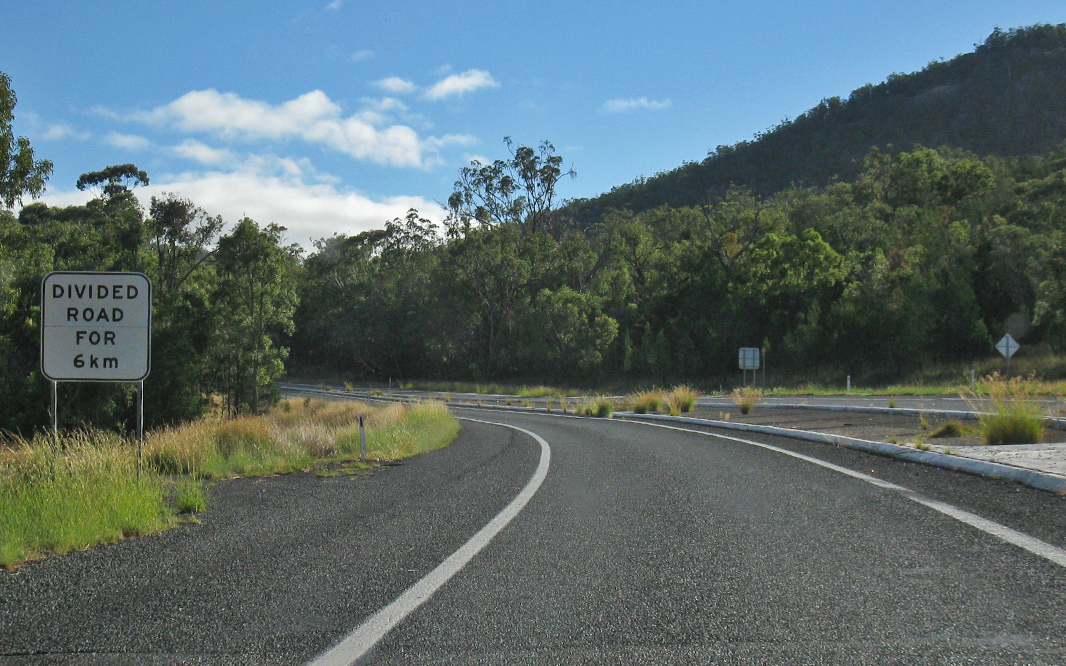 |
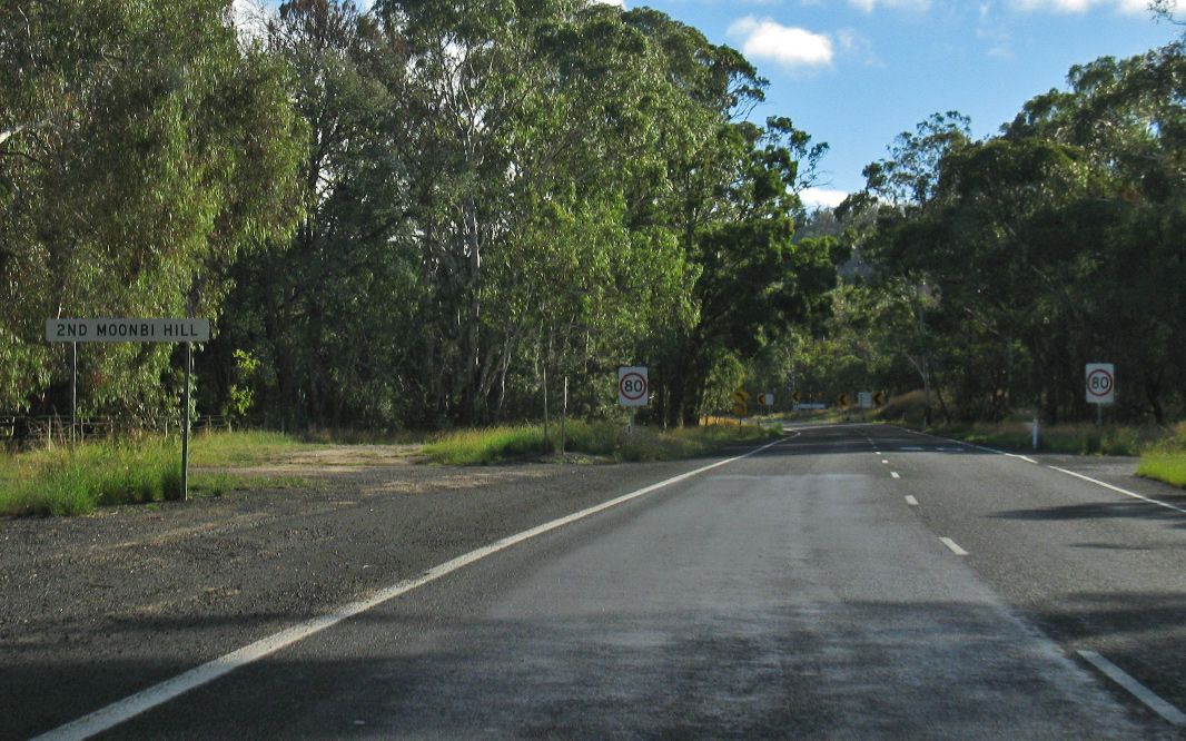
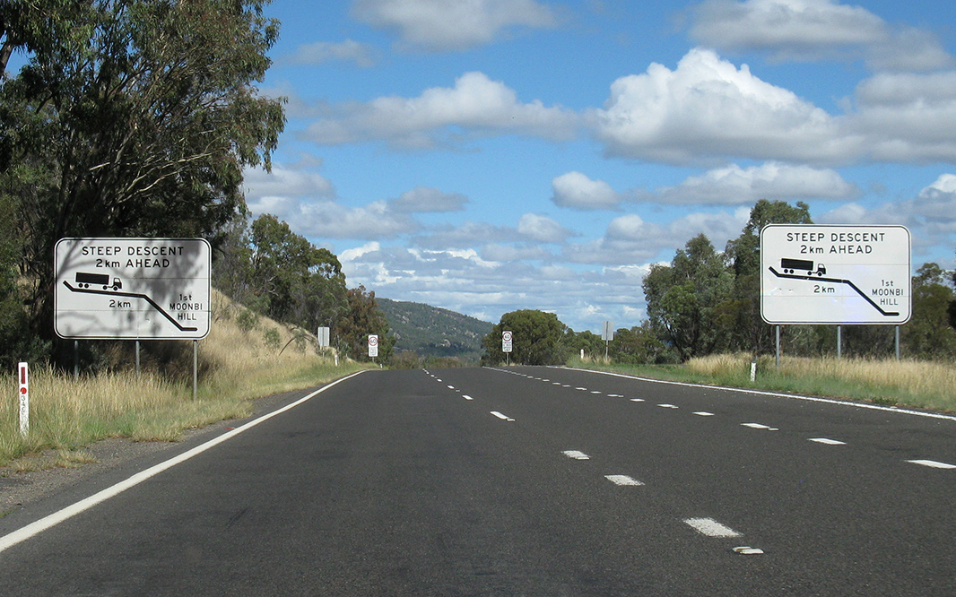
Divided Road: New England Hwy (A15 / B56) becomes dual carriageway as it ascends First Moonbi Hill at Moonbi, April 2019. Image © Paul Rands |
 |
Advance Directional Sign: AD sign at Uralla, approaching Salisbury St (Thunderbolts Way (TD19 / TD21)), April 2019. Image © Paul Rands |
|
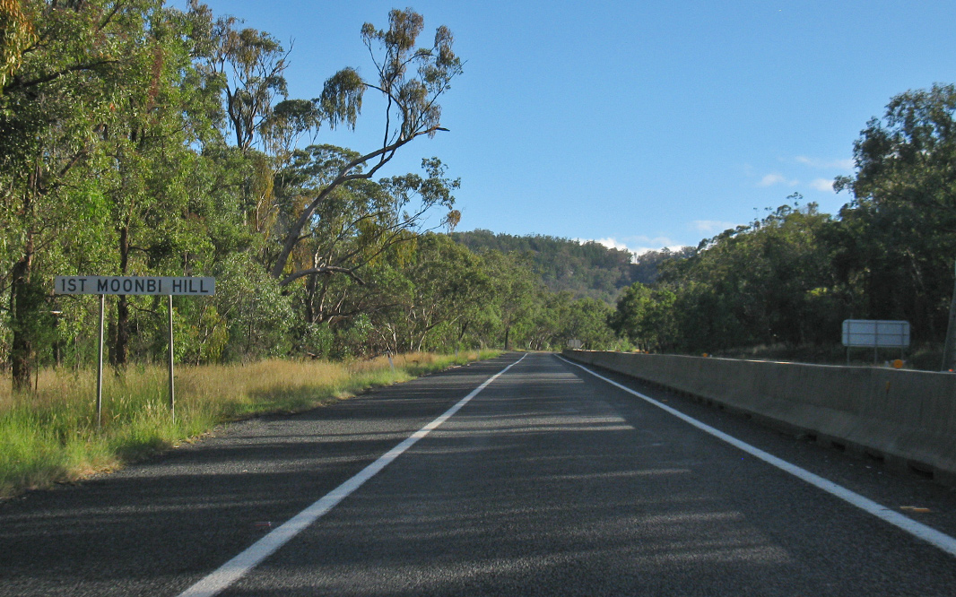 |
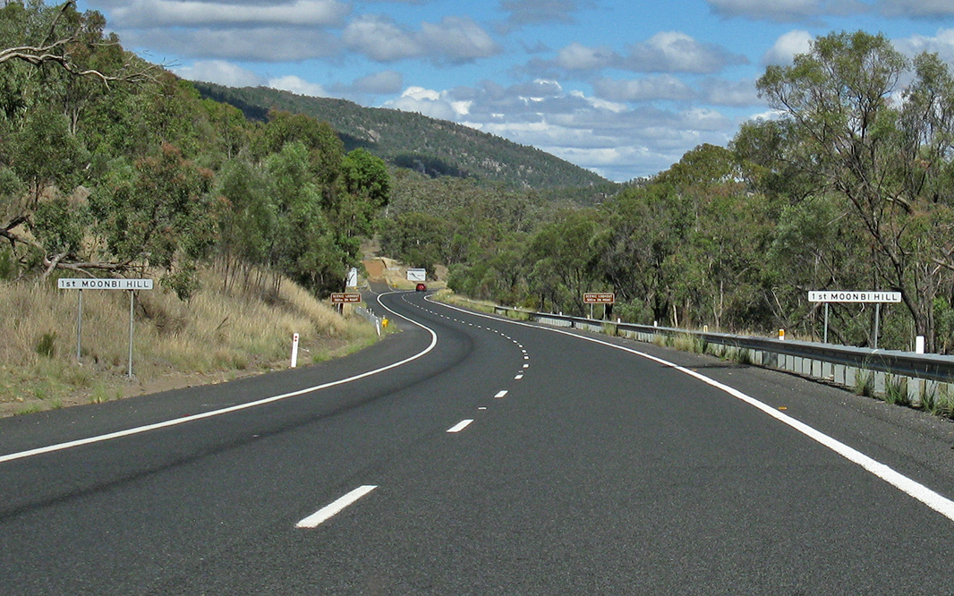
First Moonbi Hill: New England Hwy (A15 / B56) as it ascends First Moonbi Hill at Moonbi, April 2019. Image © Paul Rands |
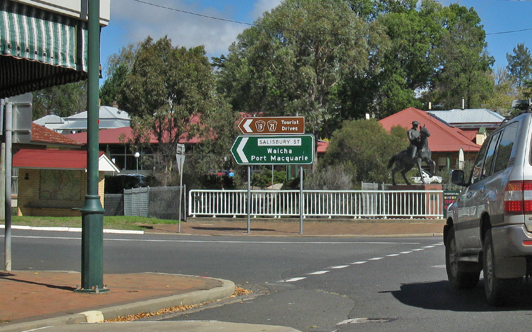 |
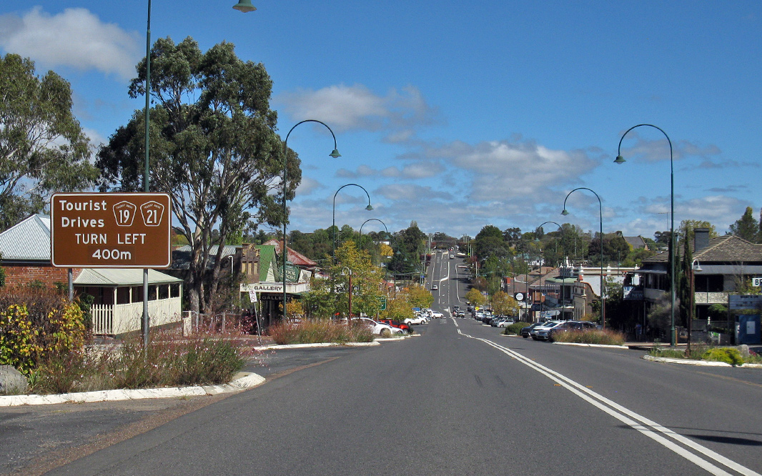
Salisbury Street: Corner of New England Hwy (A15) and Salisbury St ( Thunderbolts Way (TD19 / TD21)) at Uralla, April 2019. Image © Paul Rands |
|
 |
First Moonbi Hill: New England Hwy (A15 / B56) as it ascends First Moonbi Hill at Moonbi, April 2019. Image © Paul Rands |
 |
Reassurance Directional Sign: Distance sign at Uralla, April 2019. Image © Paul Rands |
|
 |
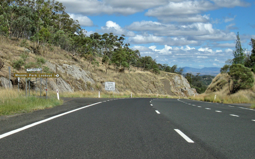
Advance Directional Sign: AD sign approaching Moonbi Lookout Rd and West Caragnoo Rd at Moonbi, April 2019. Image © Paul Rands |
 |
Kentucky Road: Corner of New England Hwy (A15) and Kentucky Rd at Kentucky, April 2019. Image © Paul Rands |
|
 |
Moonbi Lookout Road & West Caragnoo Road: Corner of New England Hwy (A15 / B56), Moonbi Lookout Rd and West Caragnoo Rd at Moonbi, April 2019. Image © Paul Rands |
 |
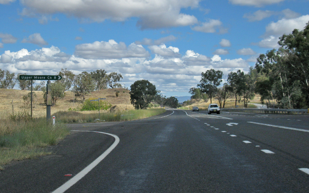
Memorial Drive: Corner of New England Hwy (A15) and Memorial Dr (former New England Hwy) at Bendemeer, April 2019. Image © Paul Rands |
|
 |
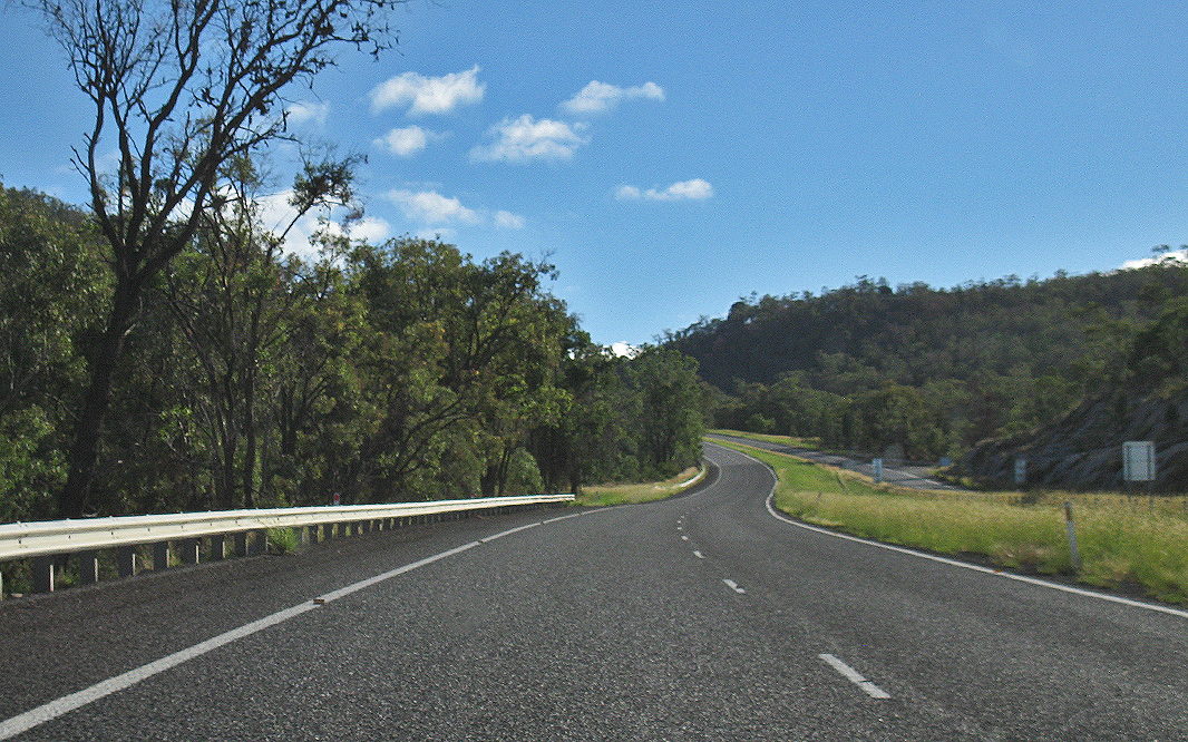
Second Moonbi Hill: New England Hwy (A15 / B56) as it ascends Second Moonbi Hill at Moonbi, April 2019. Image © Paul Rands |
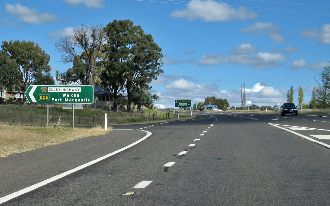 |
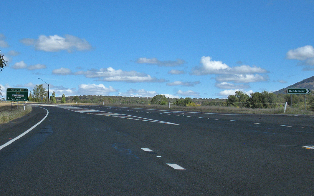
Oxley Highway: Corner of New England Hwy (A15) and Oxley Hwy (B56 / TD21) at Bendemeer, April 2019. The B56 duplex commences at this location. Image © Paul Rands |
|
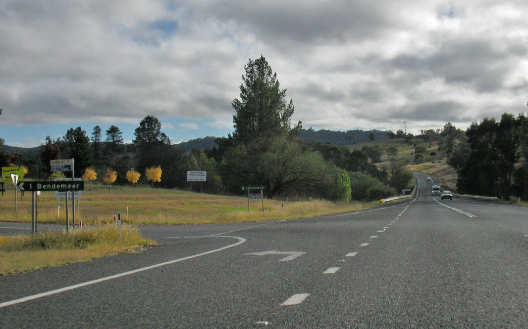 |
Caroline Street: Corner of New England Hwy (A15 / B56) and Caroline St, Bendemeer, April 2019. Image © Paul Rands |
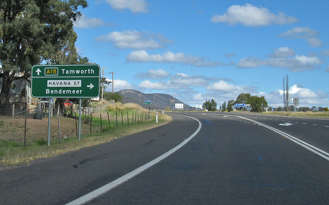 |
Advance Directional Sign: AD sign at Bendemeer approaching Havana St, April 2019. Image © Paul Rands |
|
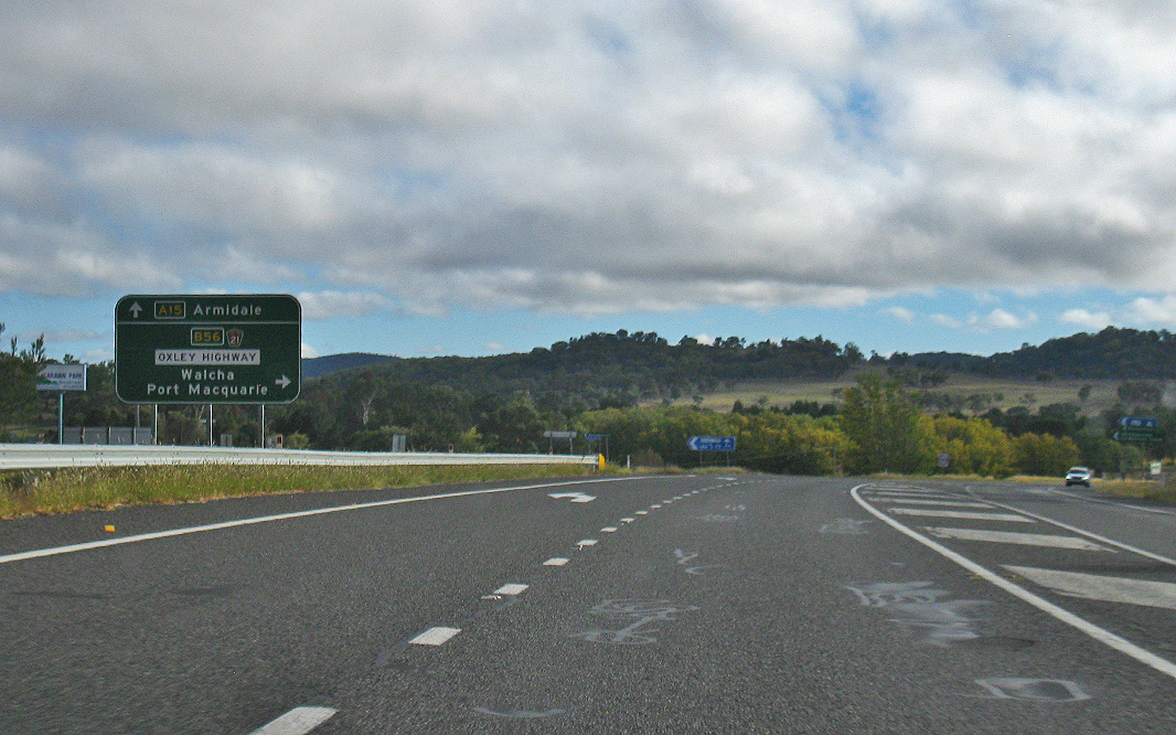 |
Advance Directional Sign: AD sign at Bendemeer, approaching Oxley Hwy (B56 / TD21), April 2019. The B56 duplex ends at this location. Image © Paul Rands |
 |
Havana St: Corner of New England Hwy (A15 / B56) and Havana St, Bendemeer, April 2019. Image © Paul Rands |
|
 |
Reassurance
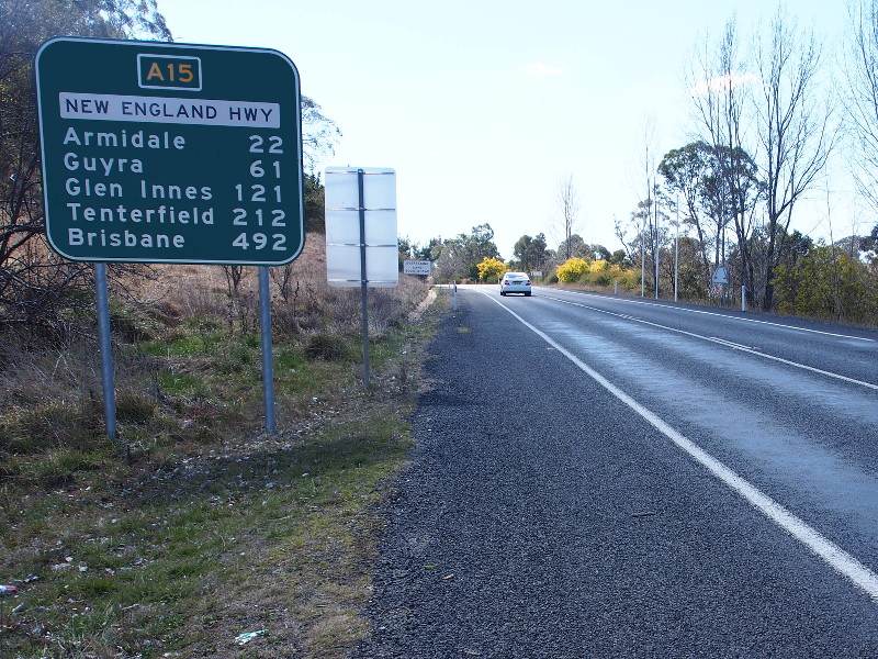
Directional Sign: RD sign as New England Hwy (A15) leaves Uralla, August 2013. Image © Peter Renshaw |
 |
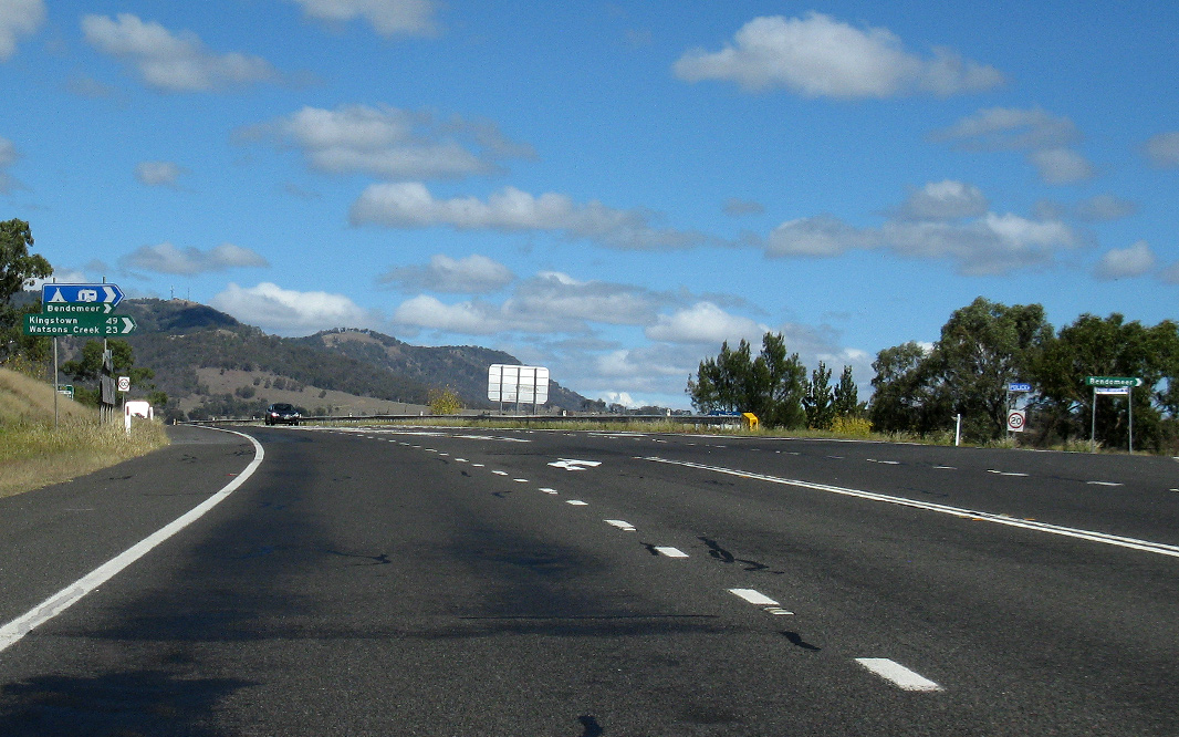
Reassurance Directional Sign: Distance sign at Bendemeer, April 2019. Image © Paul Rands |
|
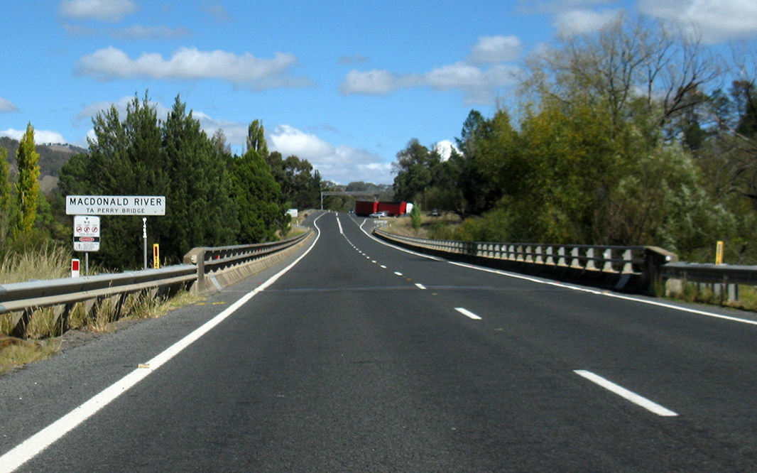 |
Macdonald River: New England Hwy (A15 / B56) as it crosses Macdonald River via TA Perry Bridge at Bendemeer, April 2019. Image © Paul Rands |
|||
 |
Caroline Street: Corner of New England Hwy (A15 / B56) and Caroline St, Bendemeer, April 2019. Image © Paul Rands |
|||
 |
Second Moonbi Hill: New England Hwy (A15 / B56) as it descends Second Moonbi Hill at Moonbi, April 2019. Image © Paul Rands |
|||
 |
Second Moonbi Hill: New England Hwy (A15 / B56) as it descends Second Moonbi Hill at Moonbi, April 2019. Image © Paul Rands |
|||
 |
First Moonbi Hill: New England Hwy (A15 / B56) as it descends First Moonbi Hill at Moonbi, April 2019. Image © Paul Rands |
|||
 |
First Moonbi Hill: New England Hwy (A15 / B56) as it descends First Moonbi Hill at Moonbi, April 2019. Image © Paul Rands |
|||
 |
First Moonbi Hill: New England Hwy (A15 / B56) as it descends First Moonbi Hill at Moonbi, April 2019. Image © Paul Rands |
|||
 |
Advance Directional Sign: AD sign approaching Moonbi Lookout Rd and West Caragnoo Rd at Moonbi, April 2019. Image © Paul Rands |
|||
 |
First Moonbi Hill: New England Hwy (A15 / B56) as it descends First Moonbi Hill at Moonbi, April 2019. Image © Paul Rands |
|||
 |
Moonbi Lookout Road & West Caragnoo Road: Corner of New England Hwy (A15 / B56), Moonbi Lookout Rd and West Caragnoo Rd at Moonbi, April 2019. Image © Paul Rands |
|||
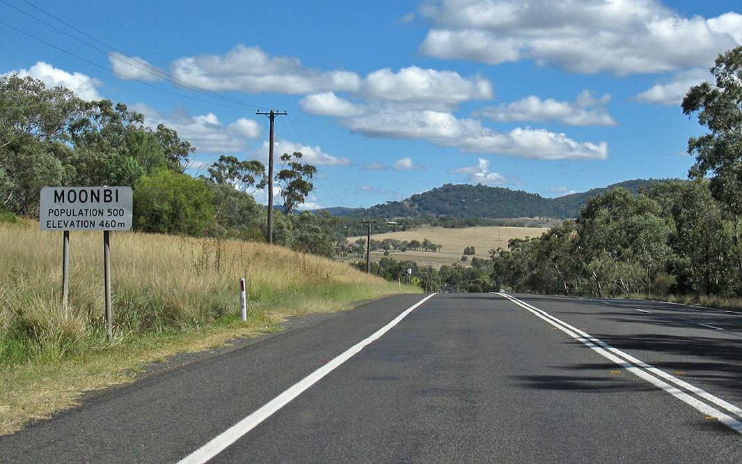 |
Moonbi: New England Hwy (A15 / B56) as it enters the town of Moonbi, April 2019. Image © Paul Rands |
|||
 |
George Street: New England Hwy (A15 / B56) at Moonbi at the George St intersection, April 2019. Image © Paul Rands |
|||
 |
Services Sign: Services sign approaching Chelmsford St, Kootingal, April 2019. Image © Paul Rands |
|||
 |
Chelmsford Street: Corner of New England Hwy (A15 / B56) and Chelmsford St, Kootingal, April 2019. Image © Paul Rands |
|||
 |
Advance Directional Sign: AD sign at Kootingal approaching Porcupine Ln and Sandy Rd, April 2019. Image © Paul Rands |
|||
 |
Intersection Directional Sign: ID sign assembly at the junction with Porcupine Ln and Sandy Rd at Kootingal, April 2019. Image © Paul Rands |
|||
 |
Chaffeys Lane & Tintinhull Road: Corner of New England Hwy (A15 / B56), Chaffeys Ln and Tintinhull Rd at Tintinhul, April 2019. Image © Paul Rands |
|||
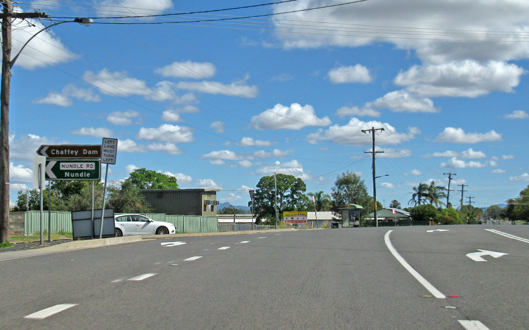 |
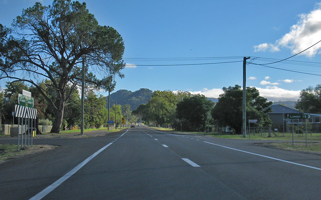
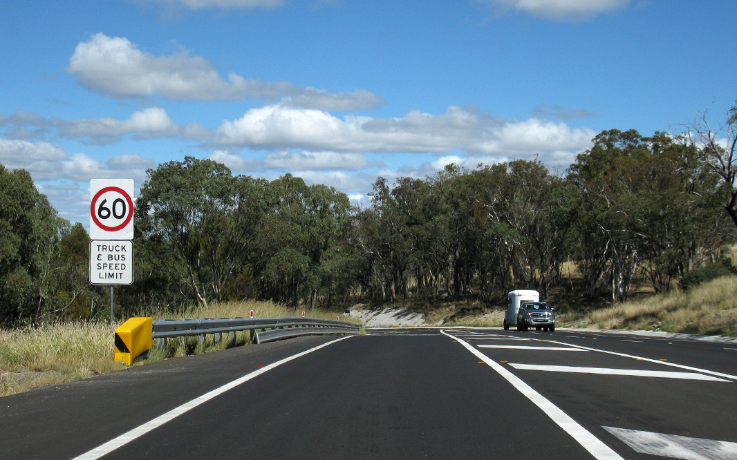
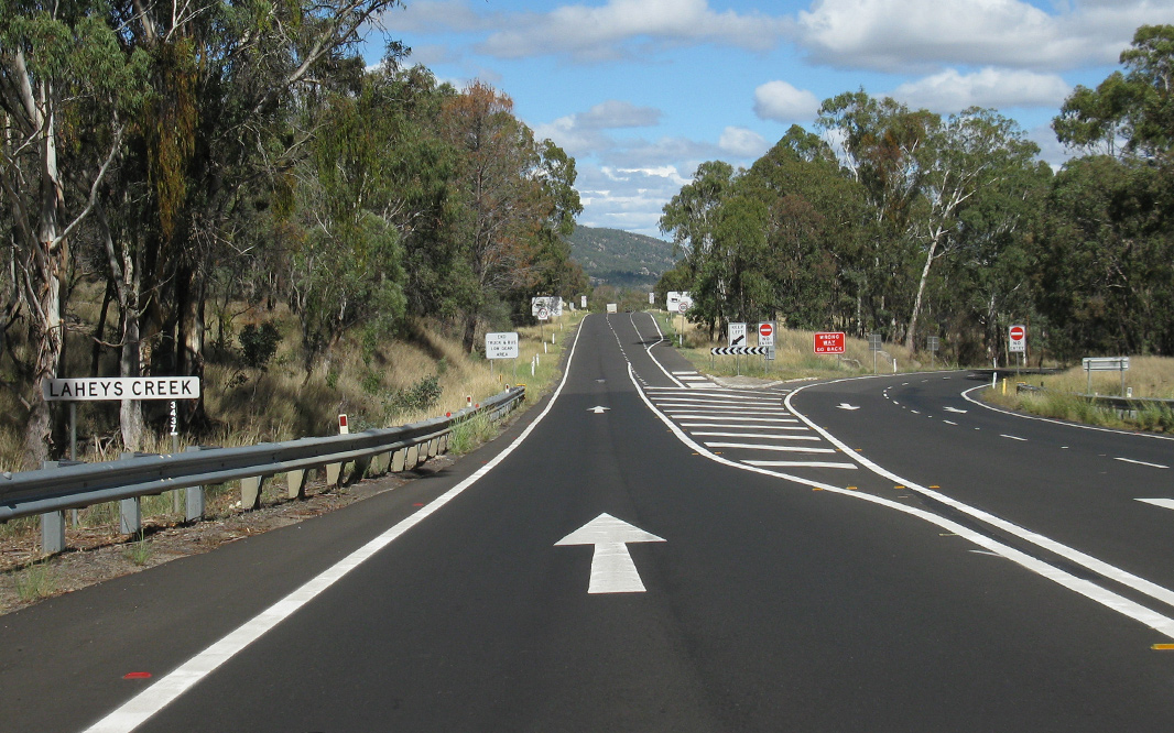
Railway Street & Nundle Road: New England Hwy (A15 / B56) at Nemingha at the junction with Railway St and Nundle Rd, April 2019. Image © Paul Rands |
|||
 |
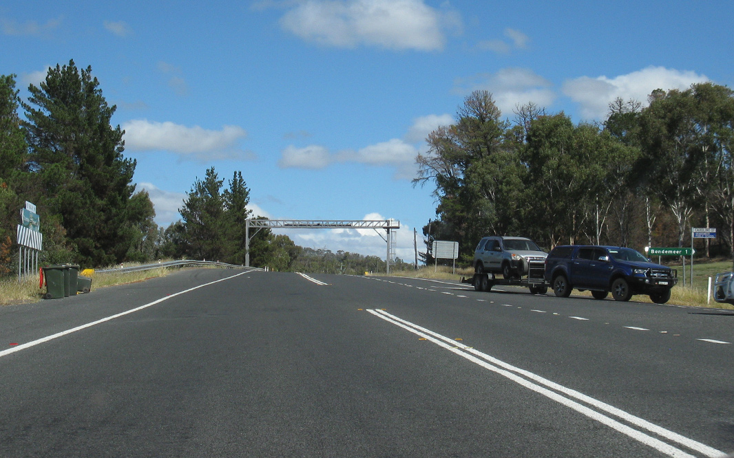
Reassurance Directional Sign: Distance sign at Nemingha, April 2019. Image © Paul Rands |
|||
|
Click here for the continuation of A15 between Armidale and Glen Innes Click here for continuation of A15 between Muswellbrook and Tamworth |
||||
1 Roads &
Maritime Services, Schedule of Classified Roads and Unclassified Regional
Roads, August 2013
2 National Library of Australia
3 Roads & Maritime Services
4 Department of Infrastructure,
Transport, Regional Development and Local Government
5 Roads and Maritime Services, New England Highway safety upgrade Project update - start of work, November 2018
6 NSW Government, Media Release, Road work on the New England Highway, Kentucky from Monday 24 February, Feburary 2020
Last updated: 15-Oct-2021 19:09
This site © Paul Rands. All rights reserved. Some portions © (copyright) by their respective and credited owners. Permission must be obtained before using any images from this site. For details, please email by clicking here.