|
|
|
|
|
| M15 A15 | Parry Street, Donald Street, Griffiths Road, Newcastle Road, Thomas Street, Newcastle Link Road, Hunter Expressway & New England Highway (M15 / A15) - Muswellbrook to Tamworth |
Statistics:
Route Numbering:


General Information:
M15 / A15 is one the major routes in New South Wales and Queensland. It links the farming regions of NSW to the ports at Newcastle and also to other major roads to Sydney and it's also a link to Brisbane's metropolitan area.
The route consists of single carriageway 2-lane rural highway, through to multi-lane divided sections and motorway standard closer to Newcastle.
History:
The New England Highway originally formed part of the Great Northern Road from Sydney via Wiseman's Ferry to the Queensland border (near Mt Lindesay), taking shape as settlement spread northward from the lower Hunter Valley. By 1851 the Great Northern Road had reached the Gap, two miles beyond Murrurundi. In 1858 it was classified as one of three Main Roads in the colony (Great Western and Great Southern) and extended from Morpeth via Maitland, Singleton, Muswellbrook, Scone, Murrurundi and Tamworth, to Armidale, a distance of about 236 miles. Captain Martindale, Chief Railway Commissioner, who was also responsible for roads, stressed the need for bridges as in many cases long circuits had to be made to find a crossing over a stream. In 1860 arrangements were in progress for building 90 culverts and minor bridges and for forming new sections of road, including a new ascent to Murrurundi Gap, which was previously steep with sharp dangerous turns. In 1865 the section of road between Muswellbrook and Murrurundi was metalled and a deviation suggested between Blandford and Murrurundi to skirt the Page River, obviating two bridges, however, such a deviation was never constructed. With the construction of the Northern Railway line from Newcastle, commenced in the 1850s and reaching Murrurundi in 1872, attention was diverted away from roads and sections of the Great Northern Road were in poor condition. Despite the impact of the railway, roads developed steadily and considerable progress was made in the bridging of rivers and creeks. 3
| Muswellbrook to Tamworth | Tamworth to Muswellbrook | |||
| Preview: | Description: | Preview: | Description: | |
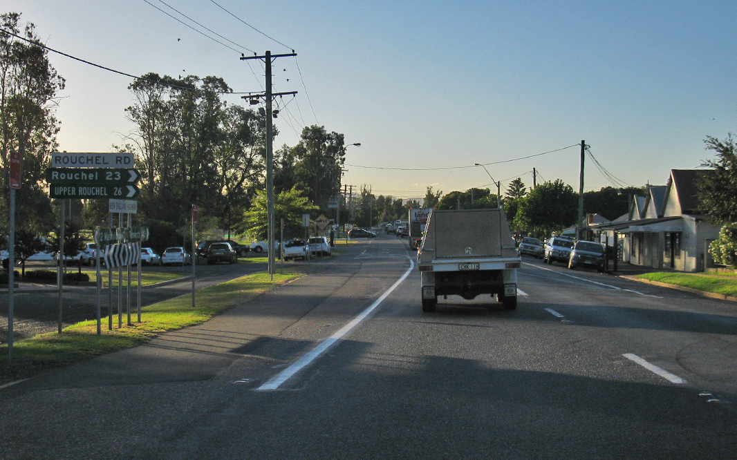 |
Rouchel Road: Corner of New England Hwy (A15) and Rouchel Rd in Aberdeen, April 2019. Image © Paul Rands |
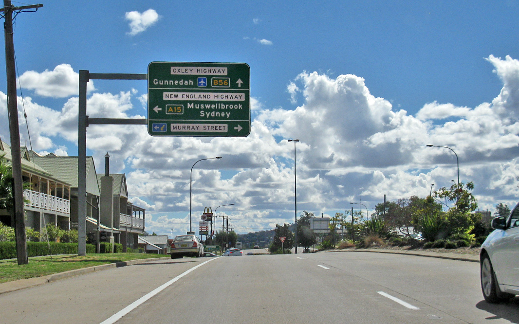 |
Advance Directional Sign: AD sign on New England Hwy (A15 / B56) approaching Oxley Hwy (B56) and Murray St in Tamworth, April 2019. Image © Paul Rands |
|
 |
Hunter River: New England Hwy (A15) crossing Hunter River via Fitzgerald Br at Aberdeen, April 2019. Image © Paul Rands |
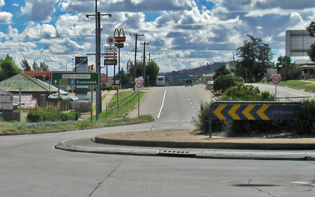 |
Oxley Hwy & Murray St: ID sign at the roundbaout with Oxley Hwy (B65) and Murray St in Tamworth, April 2019. A15 turns left at this location. Image © Paul Rands |
|
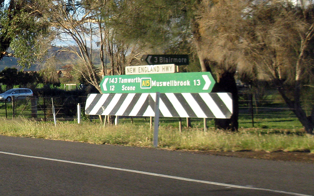 |
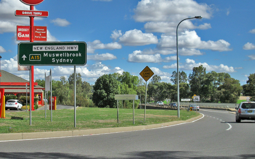
Intersection Directional Sign: ID sign at the junction with Blairmore Ln at Aberdeen, April 2019. Image © Paul Rands |
 |
AD sign: Advance directional sign approaching Peel St, Tamworth, April 2019. Image © Paul Rands |
|
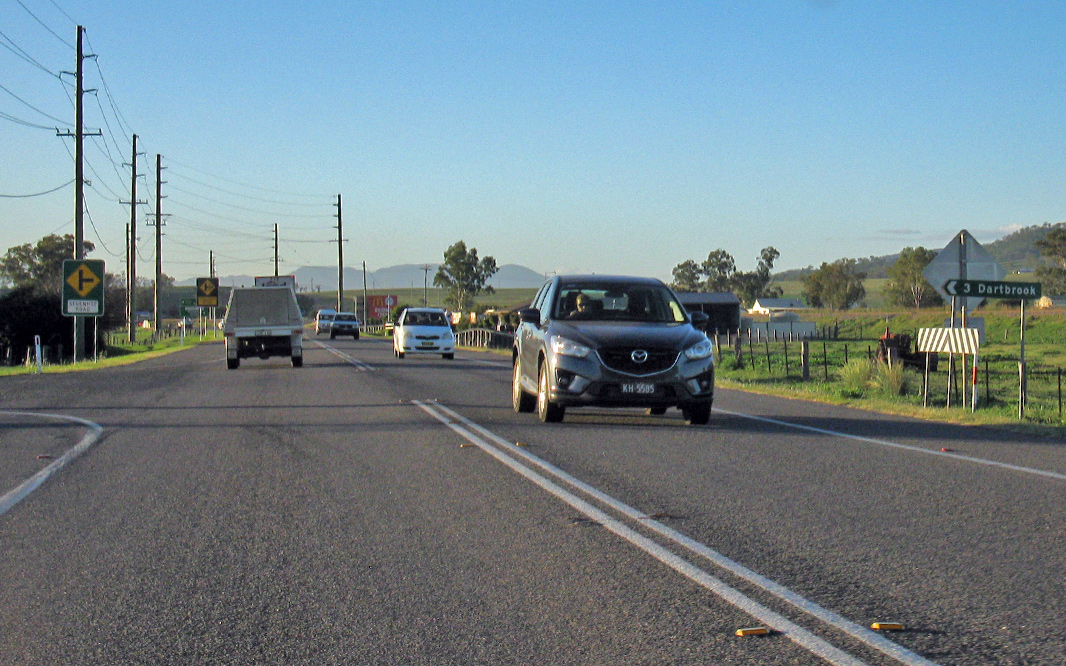 |
Dartbrook Lane: Corner New England Hwy (A15) and Dartbook Ln at Aberdeen, April 2019. Image © Paul Rands |
 |
Intersection Directional Sign: ID sign at the roundabout with Peel St in Tamworth, April 2019. Image © Paul Rands |
|
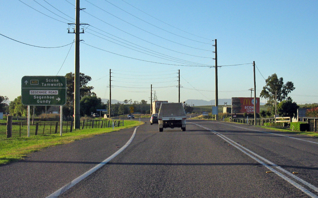 |
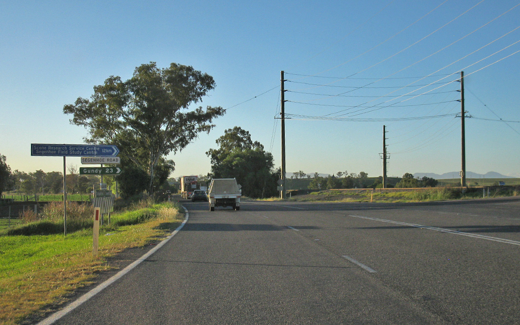
Advance Directional Sign: AD sign approaching Segenhoe Rd at Aberdeen, April 2019. Image © Paul Rands |
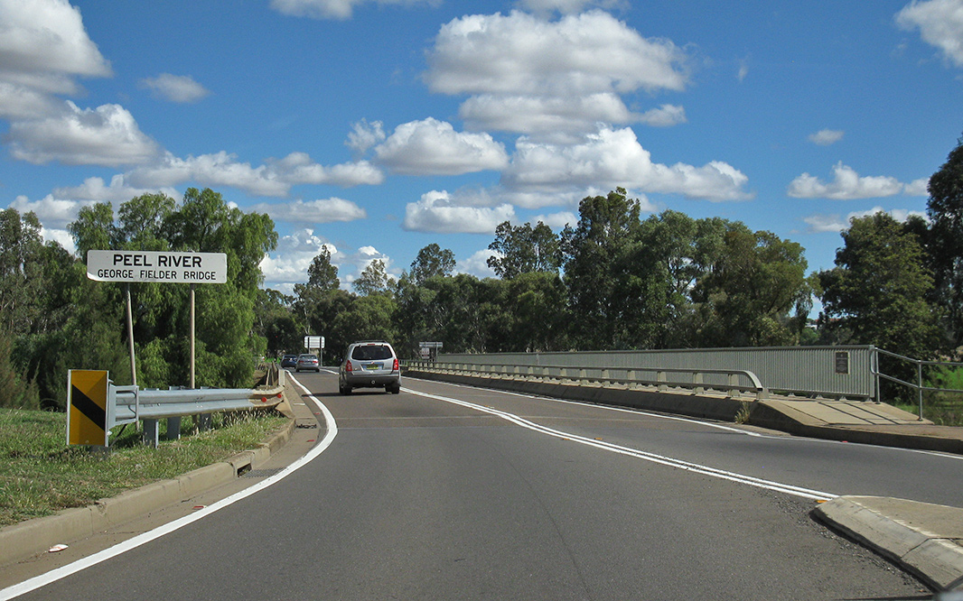 |
Peel River: New England Hwy (Scott Rd) (A15) as it crosses Peel River via George Fielder Bridge at Tamworth, April 2019. Image © Paul Rands |
|
 |
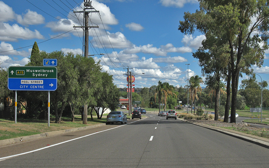
Segenhoe Road: Corner of New England Hwy (A15) and Segenhoe Rd at Aberdeen, April 2019. Image © Paul Rands |
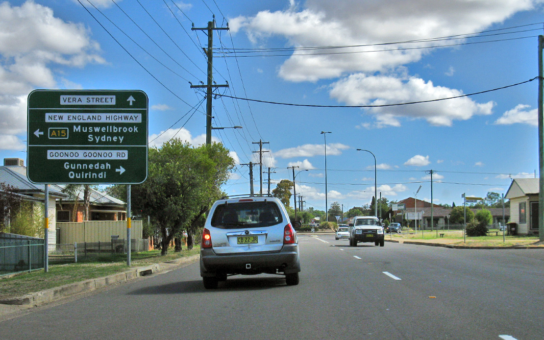 |
Advance Directional Sign: AD sign at South Tamworth approaching Vera St and Goonoo Goonoo Rd (former New England Hwy), April 2019. A15 turns left at this intersection. Image © Paul Rands |
|
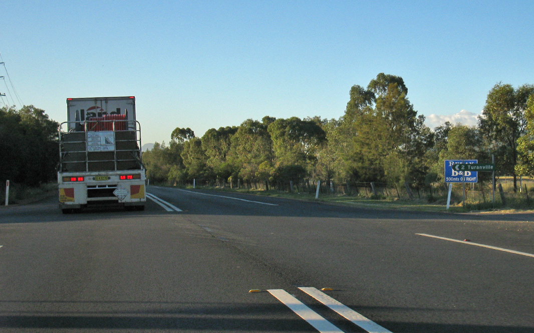 |
Turanville Road: Corner of New England Hwy (A15) and Turanville Rd at Scone, April 2019. Image © Paul Rands |
 |
Intersection Directional Sign: ID sign at the roundabout with Vera St and Goonoo Goonoo Rd in South Tamworth, April 2019. Image © Paul Rands |
|
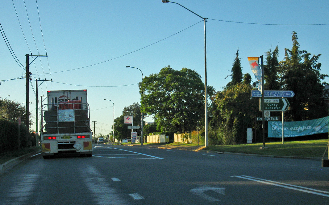 |
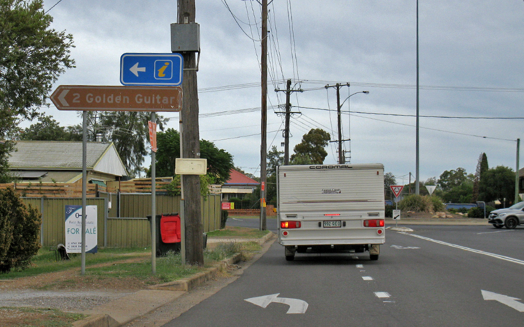
Gundy Road: Corner of New England Hwy (A15) and Gundy Rd at Scone, April 2019. Image © Paul Rands |
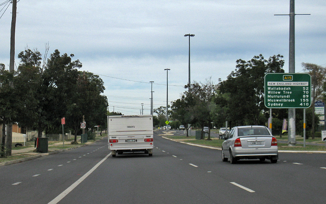 |
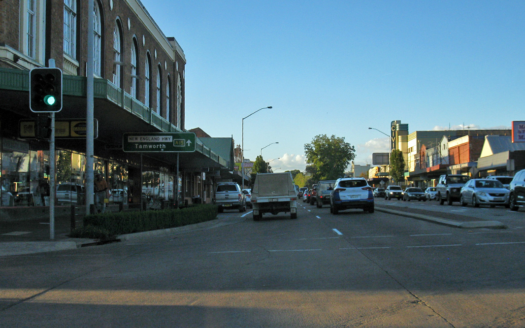
Reassurance Directional Sign: Distance sign at South Tamworth, April 2019. Image © Paul Rands |
|
 |
Intersection Directional Sign: Remnant ID sign from the former roundabout with Liverpool St in Scone, April 2019. Image © Paul Rands |
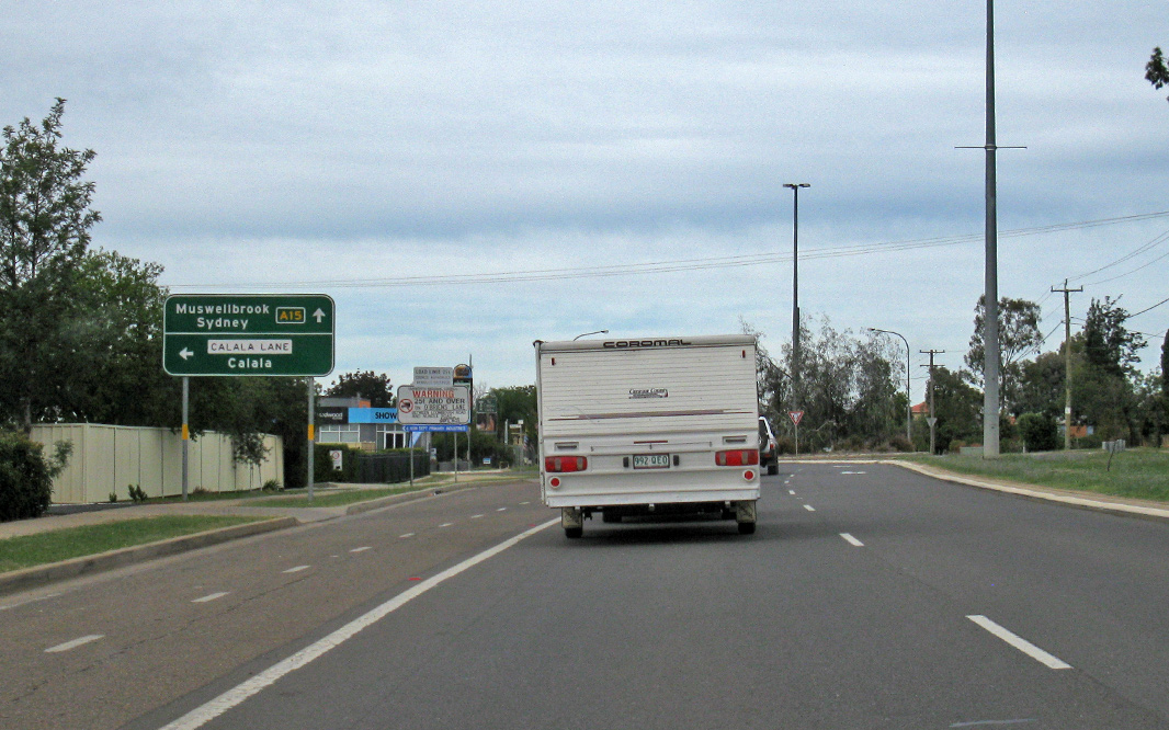 |
Advance Directional Sign: AD sign approaching the Calala Ln roundabout at South Tamworth, April 2019. Image © Paul Rands |
|
 |
Reassurance Directional Sign: Distance sign at Scone, April 2019. Image © Paul Rands |
 |
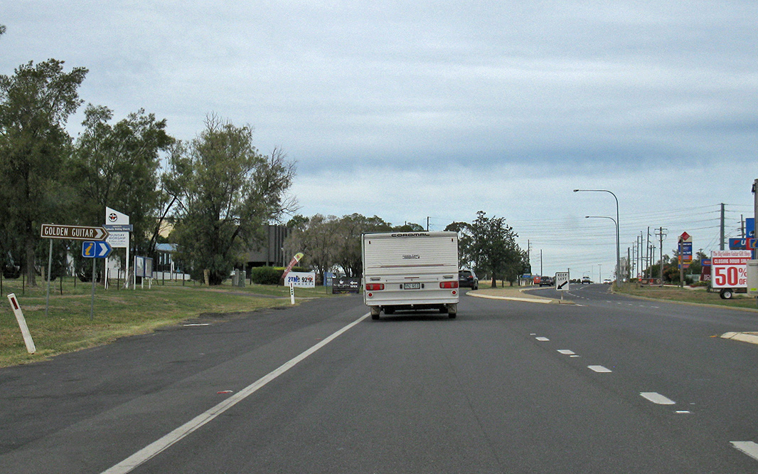
Supplemental Advance Directional Sign: Supplemental AD sign at Sth Tamworth approaching Ringers Rd, April 2019. Image © Paul Rands |
|
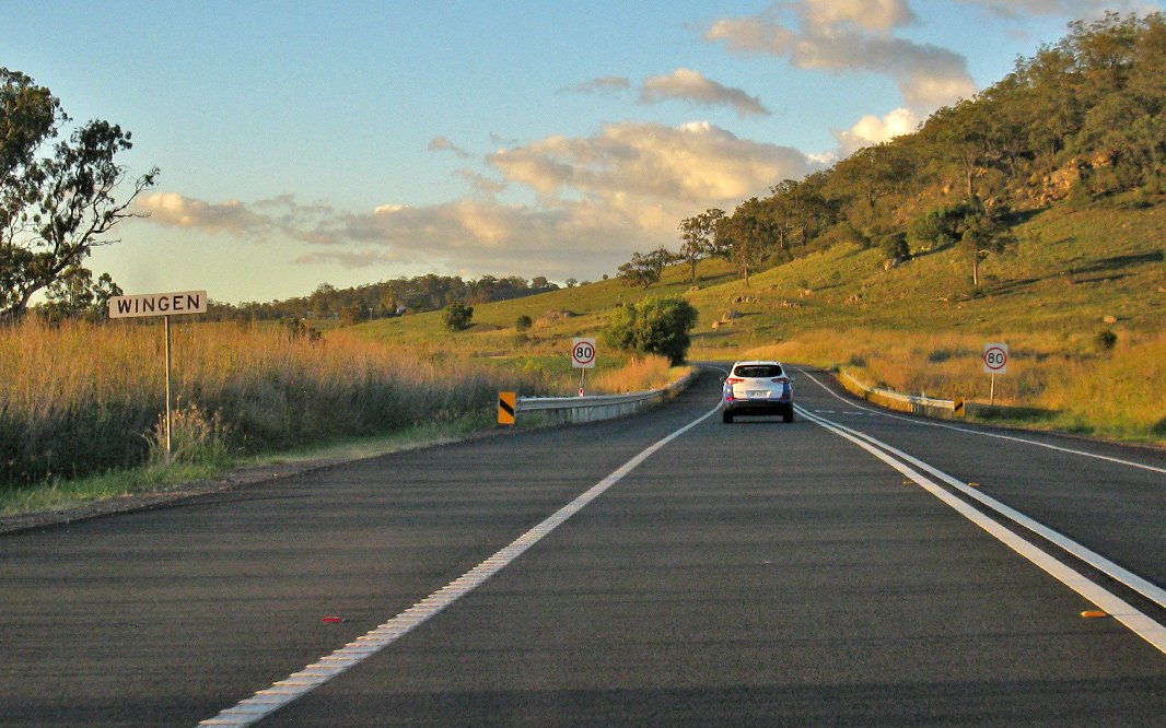 |
Wingen: New England Hwy (A15) as it enters the village of Wingen, April 2019. Image © Paul Rands |
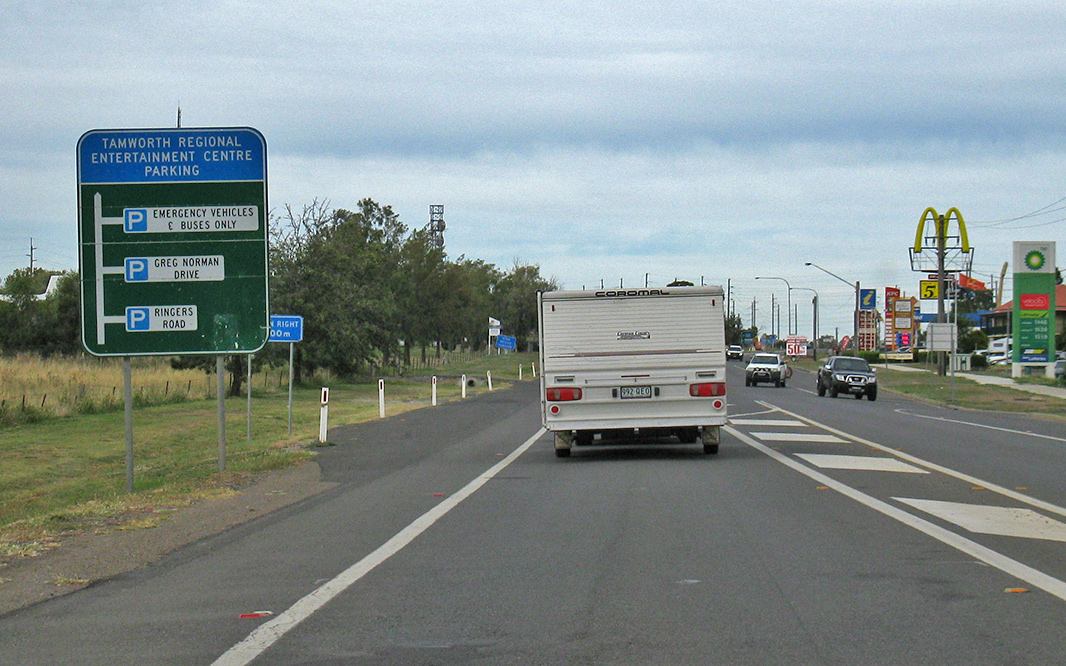 |
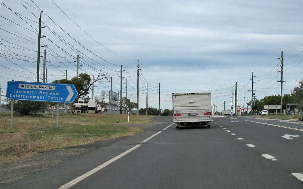
Advance Directional Sign: AD sign at Sth Tamworth approaching Ringers Rd and Greg Norman Dr, April 2019. Image © Paul Rands |
|
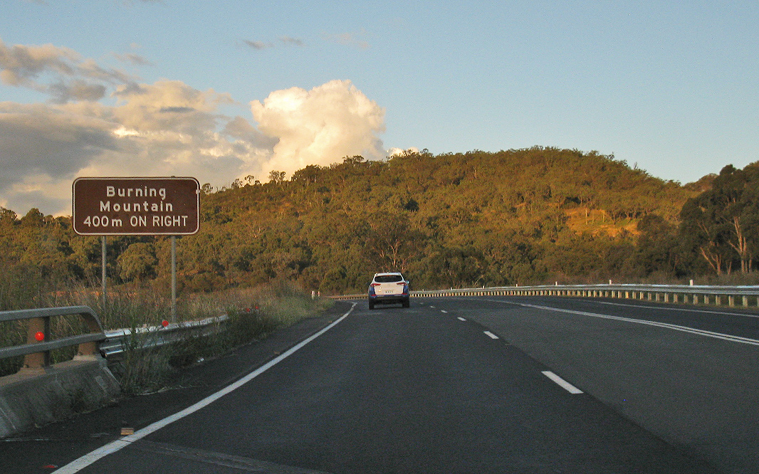 |
Advance Directional Sign: AD at Murulla approaching the Burning Mountain access road, April 2019. Image © Paul Rands |
 |
Ringers Road: Corner of New England Hwy (A15) and Ringers Rd, South Tamworth, April 2019. Image © Paul Rands |
|
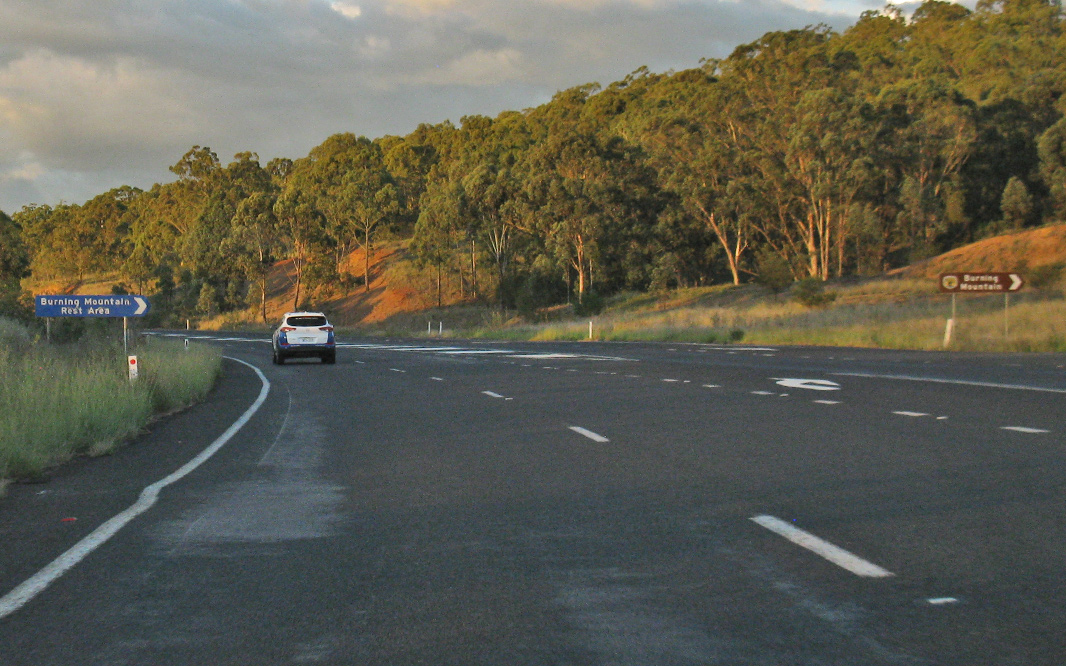 |
Burning Mountain Access Road: Corner of New England Hwy (A15) and the Burning Mtn access road, April 2019. Image © Paul Rands |
 |
Reassurance Directional Sign: Distance sign at South Tamworth, April 2019. Image © Paul Rands |
|
 |
Reassurance Directional Sign: Distance sign at Goonoo Goonoo, September 2018 Image © Dean Sherry |
 |
Greg Norman Drive: Corner of New England Hwy (A15) and Greg Norman Dr at South Tamworth, April 2019. Image © Paul Rands |
|
 |
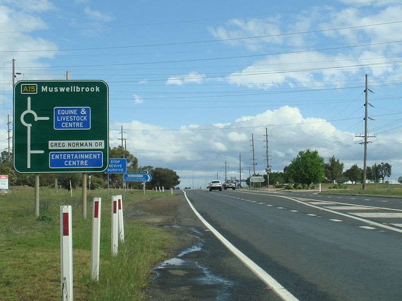
Advance
Directional Sign: AD sign approaching the roundabout at the entrance to the Tamworth Livestock & Equine Centre in South Tamworth. October 2009. Image © Paul Rands |
 |
Greg
Norman Drive Approach: Southbound as the New England Hwy approaches Greg Norman Dr in South Tamworth, October 2009. Image © Paul Rands |
|
 |
Intersection
Directional Sign: ID sign at the roundabout located at the entrance to the Tamworth Livestock & Equine Centre in South Tamworth. October 2009. Image © Paul Rands |
 |
Intersection
Directional Sign: ID sign at the roundabout located at the entrance to the Tamworth Livestock & Equine Centre in South Tamworth. October 2009. Image © Paul Rands |
|
 |
Intersection Directional Sign: ID sign at the roundabout with Goonoo Goonoo Road and Vera St in South Tamworth, September 2018 Image © Dean Sherry |
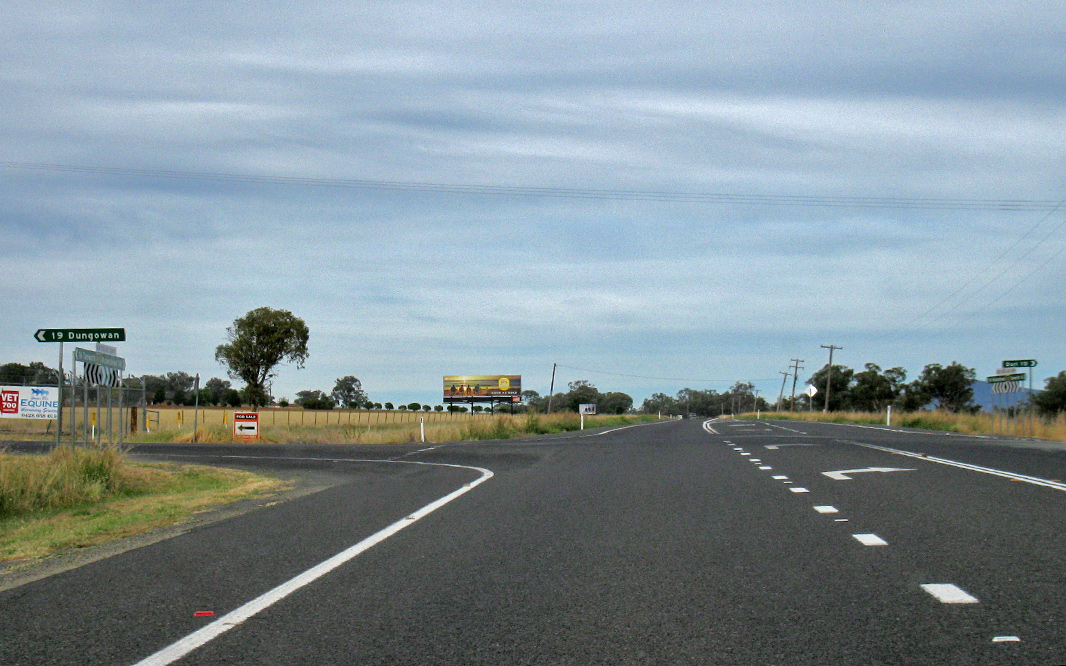 |
Duri-Dungowan Road: Corner of New England Hwy (A15) and Duri-Dungowan Rd at Timbumburi, April 2019. Image © Paul Rands |
|
 |
Middlebrook Road: Corner of New England Hwy (A15) and Middlebrook Rd at Goonoo Goonoo, April 2019. Image © Paul Rands |
|||
 |
Goonoo Goonoo Station: New England Hwy (A15) at the entrance to Goonoo Goonoo Station at Goonoo Goonoo, April 2019. Image © Paul Rands |
|||
 |
Garoo Road: Corner of New England Hwy (A15) and Garoo Rd at Garoo, April 2019. Image © Paul Rands |
|||
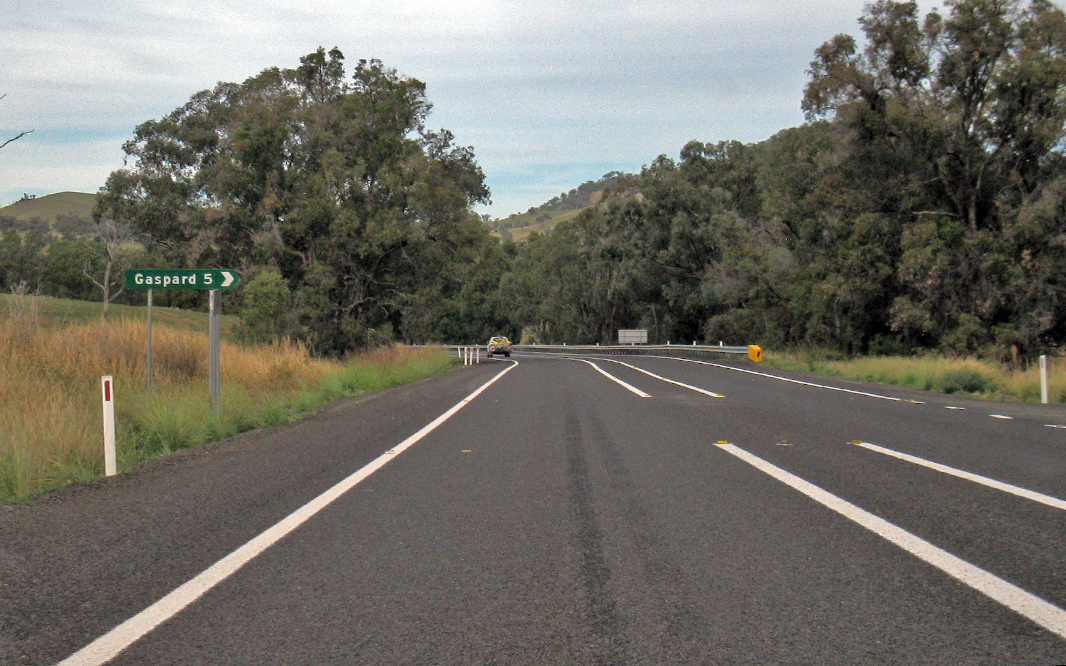 |
Gaspard Road: Corner of New England Hwy (A15) and Gaspard Rd at Wallabadah, April 2019. Image © Paul Rands |
|||
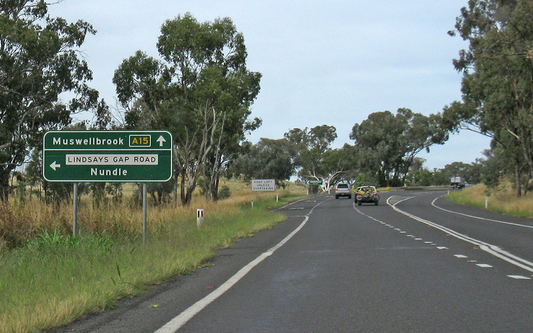 |
Advance Directional Sign: AD sign at Wallabadah approaching Lindsays Gap Rd, April 2019. Image © Paul Rands |
|||
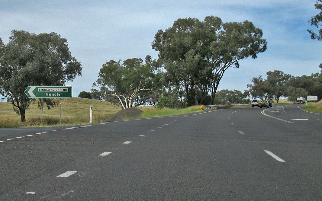 |
Lindsays Gap Road: Corner of New England Hwy (A15) and Lindsays Gap Rd at Wallabadah, April 2019. Image © Paul Rands |
|||
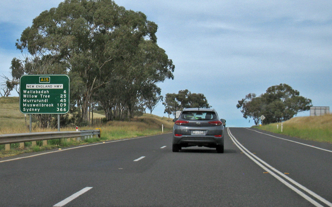 |
Reassurance Directional Sign: Distance sign at Wallabadah, April 2019. Image © Paul Rands |
|||
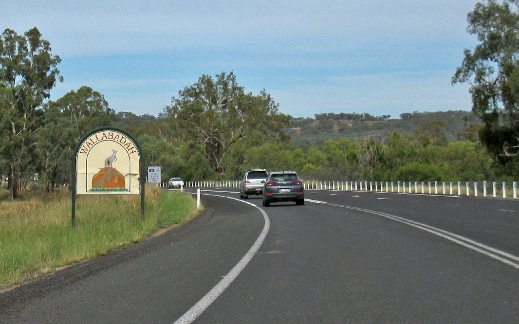 |
Entering Wallabadah: New England Hwy (A15) as it enters the town of Wallabadah, April 2019. Image © Paul Rands |
|||
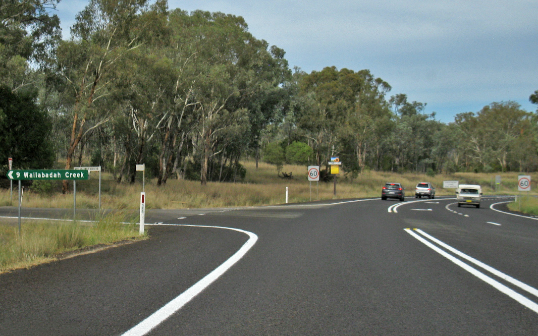 |
Wallabadah Creek Road: Corner of New England Hwy (A15) and Wallabadah Ck Rd at Wallabadah, April 2019. Image © Paul Rands |
|||
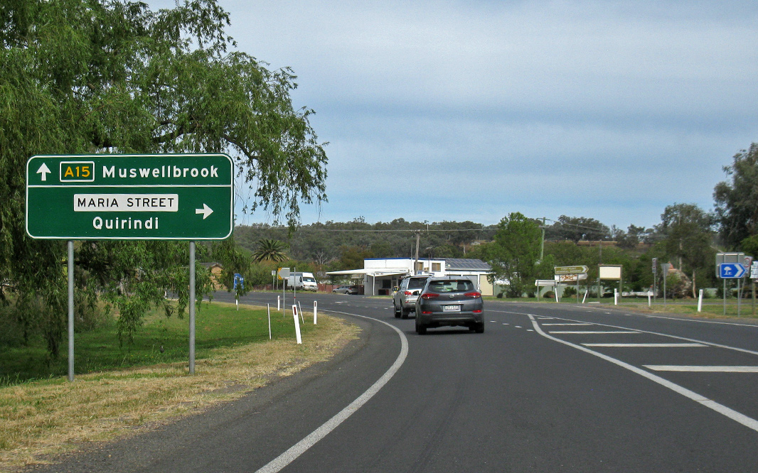 |
Advance Directional Sign: AD sign at Wallabadah approaching Maria St, April 2019. Image © Paul Rands |
|||
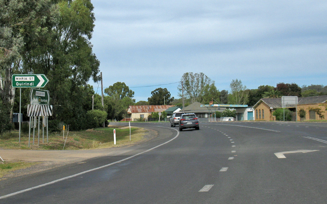 |
Maria Street: Corner of New England Hwy (A15) and Maria St in Wallabadah, April 2019. Image © Paul Rands |
|||
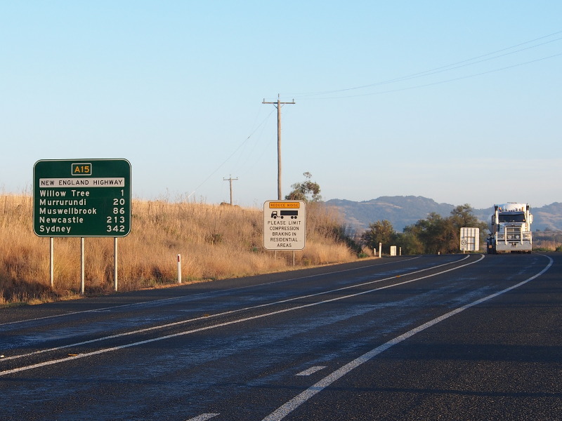 |
Distance
Sign: Southbound RD signage after the Kamilaroi Hwy intersection in Willow Tree, August 2013. Image © Peter Renshaw |
|||
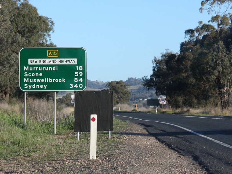 |
Distance
Sign: Southbound RD sign as you leave the town of Willow Tree. September 2008. Image © Michael Gill |
|||
|
Click here for the continuation of A15 between Tamworth and Armidale Click here for the continuation of A15 between Singleton and Muswellbrook |
||||
1 Roads &
Maritime Services, Schedule of Classified Roads and Unclassified Regional
Roads, August 2013
2 National Library of Australia
3 Roads & Maritime Services
4 Roads & Traffic Authority, Historic Bridges of the Hunter Valley brochure, ISBN 0 7313 066 1
5 George Souris MP, State Member For Upper Hunter, New Bridge Saves Five Hours On Trip From Newcastle To Toowoomba For Higher Mass Limit Vehicles, 30 June 2014
6 George Souris MP, Media Release, New England Highway Improvement Work Under Way Near Black Hill, 3 September 2004
7 Michael Johnsen MP, Media Release, Safety Improvements Start On New England Highway At Murrurundi, 9 June 2016
8 Roads & Martime Services, Media Releases, Start of work on the New England Highway, Murrurundi from Monday 28 November, November 2016
9 Michael Johnsen MP, Media Release, Improvement Work Starts On New England Highway At Aberdeen, 16 August 2017
10 Michael Johnsen MP, Media Release, New England Highway Upgrades Continue Next Month, 26 September 2017
11 Kevin Anderson MP, Media Release, Shovels Ready For Work On New England Highway, 23 October 2017
12 Roads and Maritime Services, New England Highway bypass of Scone Project Update – start of construction, August 2018
13 Roads & Maritime Services, New England Highway bypass of Scone, Project Update, April 2020
14 NSW Government, Media Release, Safety improvements on the New England Highway south of Tamworth, September 2020
Last updated: 14-Oct-2021 20:40
This site © Paul Rands. All rights reserved. Some portions © (copyright) by their respective and credited owners. Permission must be obtained before using any images from this site. For details, please email by clicking here.