|
|
|
|
|
| B72 | Snowy Mountains Highway (B72) - Cooma to Talbingo |
Statistics:
Route Numbering:

General Information:
Snowy Mountains Highway is a route that connects the Southern Tablelands of New South Wales with the far south coast via the Great Dividing Range and Snowy Mountains. It's mostly a 2-lane undivided rural highway, passing through farmland, residential and commercial regions. Large tracts of the route pass through national parks and traverse very hilly and steep terrain.
The route links the Princes Hwy (A1), Monaro Hwy (B23) and Hume Hwy (M31). The highest town along the highway is Kiandra, at a height of 1400 metres. 2
History:
| Preview: | Description: |
 |
Warning Sign: Warning sign for Alpine Way on Snowy Mtn Hwy (B72) at Pine Valley, October 2013. Image © Paul Rands |
 |
Advance Directional Sign: AD sign at Pine Valley approaching Kosciuszko Rd, October 2013. Image © Paul Rands |
 |
Intersection Directional Sign: ID sign assembly at the corner of Snowy Mtns Hwy (B72) and Kosciuszko Rd at Pine Valley, October 2013. Image © Paul Rands |
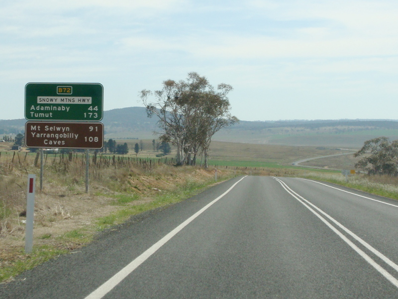 |
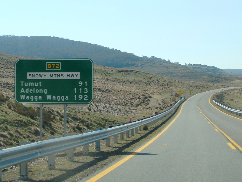
Reassurance Directional Sign: Distance sign at Dairymans Plains, October 2013. Image © Paul Rands |
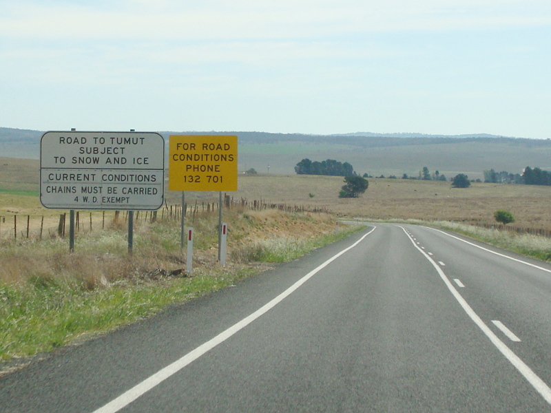 |
Snow And Ice Sign: Snow and ice sign at Dairymans Plains, October 2013. Image © Paul Rands |
 |
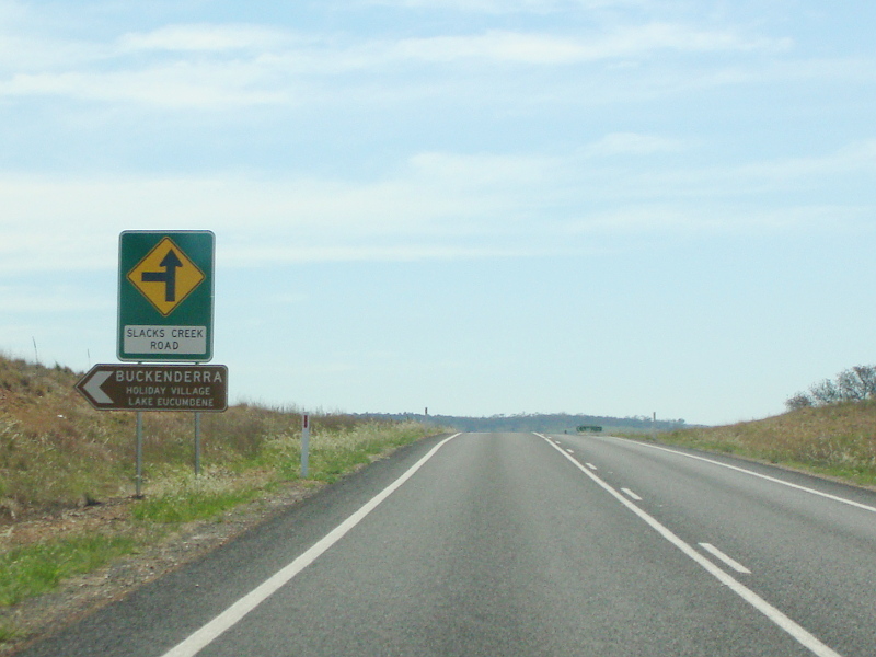
Advance Directional Sign: AD sign at Dairymans Plains approaching Slacks Creek Rd, October 2013. Image © Paul Rands |
 |
Supplemental Advance Directional Sign: Supplemental AD sign at Dairymans Plains approaching Slacks Creek Rd, October 2013. Image © Paul Rands |
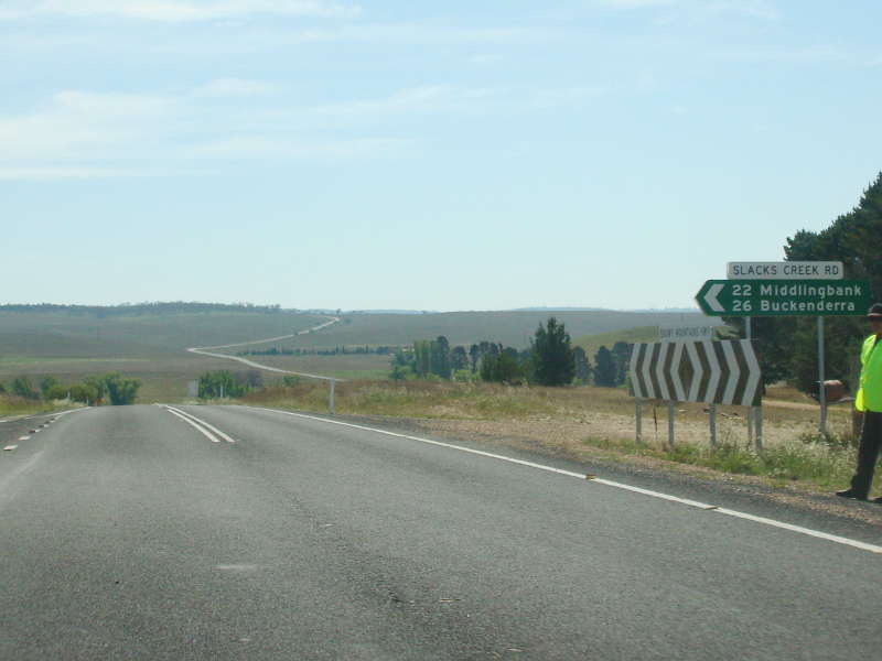 |
Slacks Creek Road: Corner of Snowy Mtns Hwy (B72) and Slacks Ck Rd at Dairymans Plains, October 2013. Image © Paul Rands |
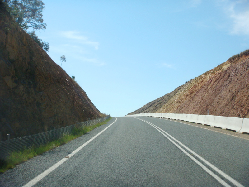 |
Wambrook Hill: Snowy Mtns Hwy (B72) as it traverses Wambrook Hill at Rhine Falls, October 2013. Image © Paul Rands |
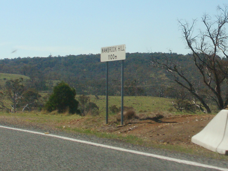 |
Wambrook Hill: Snowy Mtns Hwy (B72) as it traverses Wambrook Hill at Rhine Falls, October 2013 Image © Paul Rands |
 |
Advance Directional Sign: AD sign at Rhine Falls approaching Middlingbank Rd, October 2013. Image © Paul Rands |
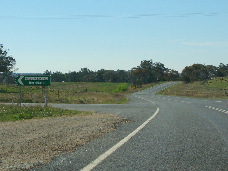 |
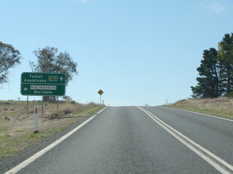
Middlingbank Road: Corner of Snowy Mtns Hwy (B72) and Middlingbank Rd at Rhine Falls, October 2013. Image © Paul Rands |
 |
Distance Sign: RD sign at Rhine Falls after Middlingbank Rd intersection, October 2013. Image © Paul Rands |
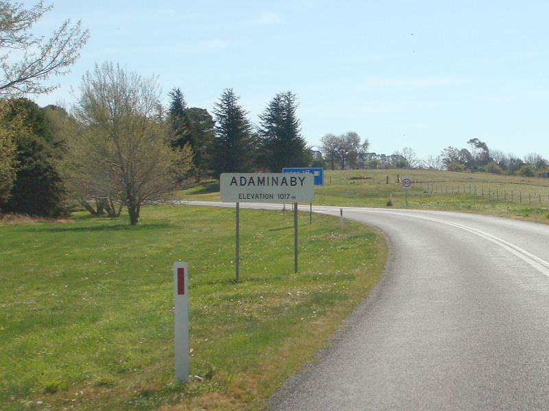 |
Entering Adaminaby: Snowy Mtns Hwy (B72) as it enters the town of Adaminaby, October 2013. Image © Paul Rands |
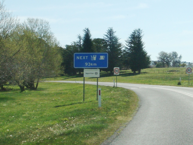 |
Next Services Sign: Next services sign as the Snowy Mtns Hwy (B72) enters Adaminaby, October 2013. Image © Paul Rands |
 |
Adaminaby: The Snowy Mountains Hwy doesn't enter the town centre itself, but bypasses it, October 2013. Image © Paul Rands |
 |
Denison Street: Corner of Snowy Mtns Hwy (B72) and Denison St, Adaminaby, October 2013. Denison St is the main street of the town. Image © Paul Rands |
 |
Lette Street: Corner of Snowy Mtns Hwy (B72) at Lette St at Adaminaby, October 2013. Image © Paul Rands |
 |
Distance Sign: Reassurance directional sign at Adaminaby, October 2013. Image © Paul Rands |
 |
Advance Directional Sign: AD sign at Adaminaby approaching Old Adaminaby Rd, October 2013. Image © Paul Rands |
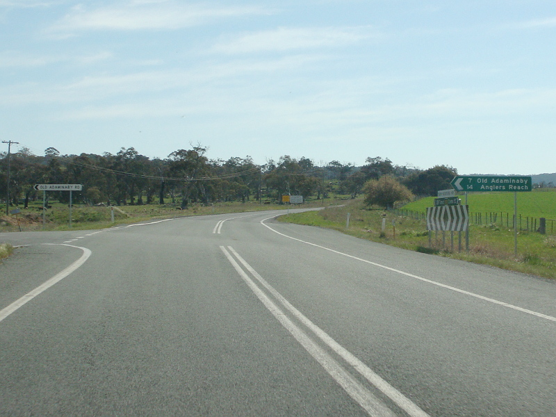 |
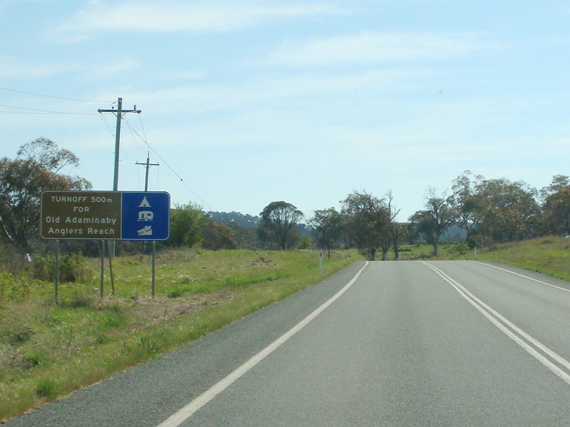
Old Adaminaby Road: Snowy Mtns Rd (B72) at Adaminaby at the junction with Old Adaminaby Rd, October 2013. Image © Paul Rands |
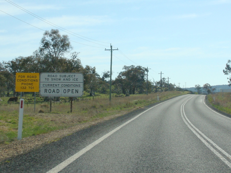 |
Snow & Ice Sign: Snow and ice sign at Adaminaby, October 2013. Image © Paul Rands |
 |
Advance Directional Sign: AD sign at Adaminaby approaching the Park Entry Chain Fitting Bay, October 2013. Image © Paul Rands |
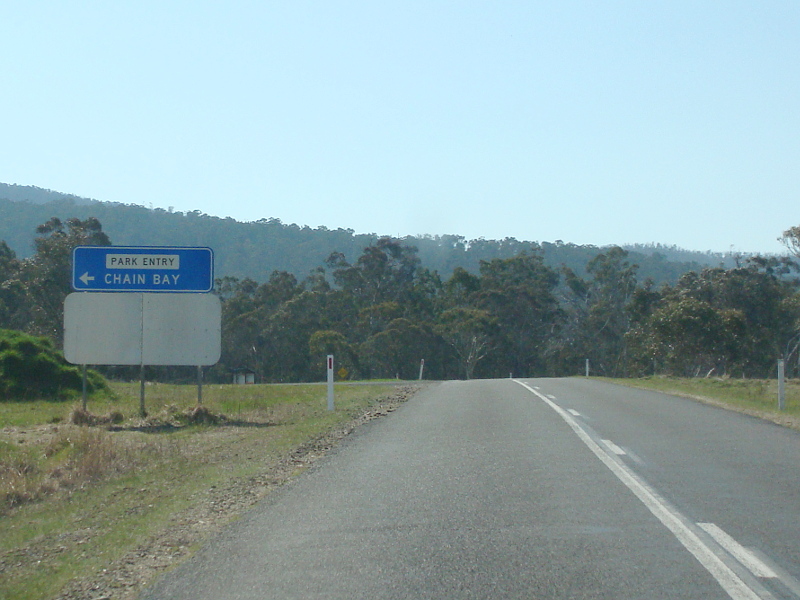 |
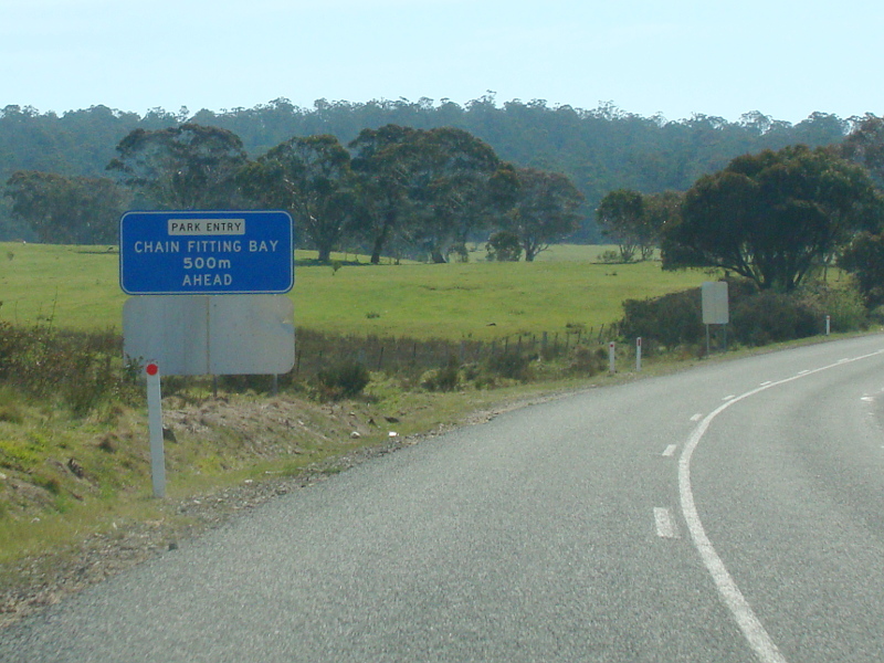
Chain Fitting Bay: Snowy Mtns Hwy (B72) at Adaminaby at the Park Entry Chain Fitting Bay, October 2013. Image © Paul Rands |
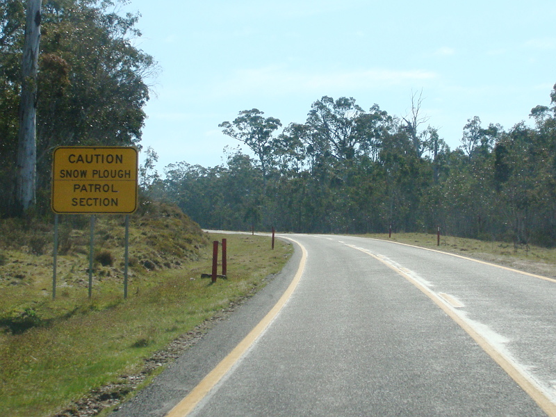 |
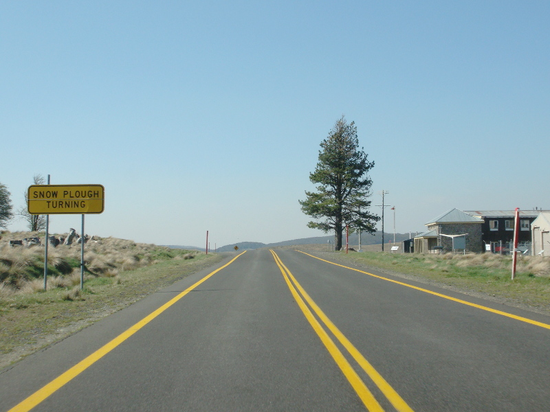
Snow Plough Warning Sign: Snow plough warning sign in the Kosciuszko National Park, October 2013. Note the yellow road markings, they are used for better visibility in snowy conditions. Image © Paul Rands |
 |
Great Dividing Range: Snowy Mtns Hwy (B72) as it crosses the Great Dividing Range at Providence Portal, October 2013. Image © Paul Rands |
 |
Advance Directional Sign: AD sign at Providence Portal approaching Providence Rd, October 2013. Image © Paul Rands |
 |
Providence Road: Corner of Snowy Mtns Hwy (B72) and Providence Rd at Providence Portal, October 2013. Image © Paul Rands |
 |
Advance Directional Sign: AD sign at Providence Portal approaching the Tantangara Chain Fitting Bay, October 2013. Image © Paul Rands |
 |
Chain Fitting Bay: Snowy Mtns Hwy (B72) at Providence Portal at the Tantangara Chain Fitting Bay, October 2013. Image © Paul Rands |
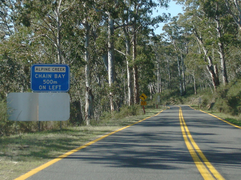 |
Advance Directional Sign: AD sign at Alpine Creek approaching the Alpine Ck Chain Fitting Bay, October 2013. Image © Paul Rands |
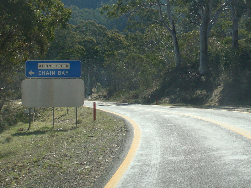 |
Chain Fitting Bay: Snowy Mtns Hwy (B72) at Alpine Creek at the Alpine Ck Chain Fitting Bay, October 2013. Image © Paul Rands |
 |
Advance Directional Sign: AD sign at Connors Hill approaching the Connors Hill Chain Fitting Bay, October 2013. Note the incorrect spelling. Image © Paul Rands |
 |
Chain Fitting Bay: Snowy Mtns Hwy (B72) at Connors Hill at the Connors Hill Chain Fitting Bay, October 2013. Note the incorrect spelling. Image © Paul Rands |
 |
Connors Hill: Snowy Mtns Hwy (B72) as it crosses Connors Hill, October 2013. Image © Paul Rands |
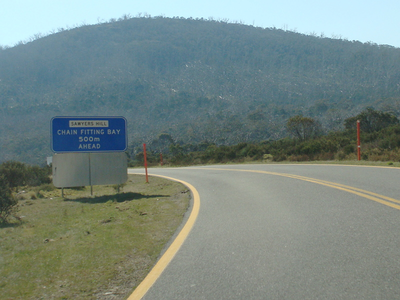 |
Advance Directional Sign: AD sign at Sawyers Hill approaching the Sawyers Hill Chain Fitting Bay, October 2013. Image © Paul Rands |
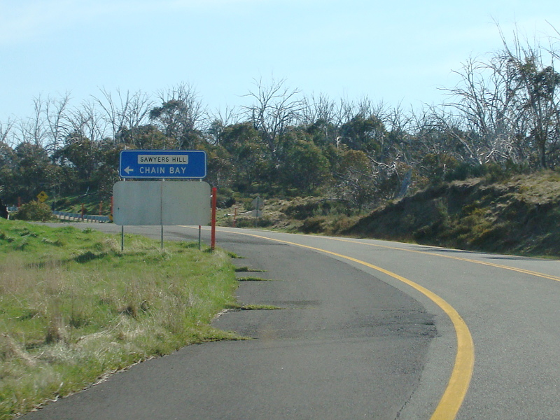 |
Chain Fitting Bay: Snowy Mtns Hwy (B72) at Sawyers Hill at the Sawyers Hill Chain Fitting Bay, October 2013. Image © Paul Rands |
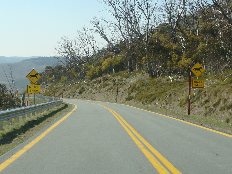 |
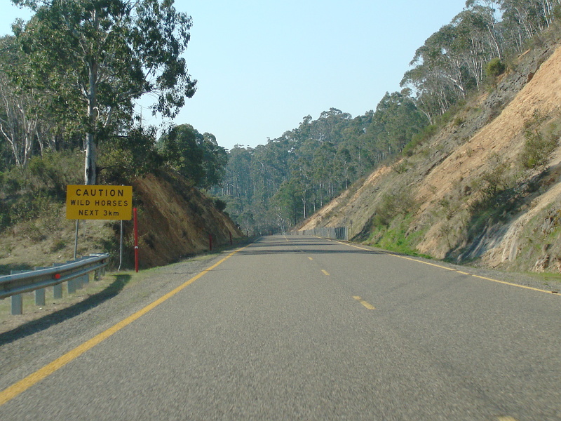
Wild Horse Warning Signs: Warning signs for wild horses, near the Eucumbene River in the Kosciuszko National Park, October 2013. Image © Paul Rands |
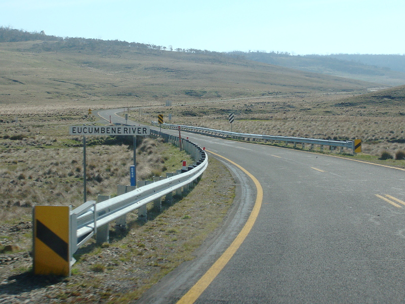 |
Eucumbene River: Snowy Mtns Hwy (B72) as it crosses Eucumbene River in the Kosciuszko National Park, October 2013. Image © Paul Rands |
 |
Entering Kiandra: Snowy Mtns Hwy (B72) as it enters the village of Kiandra, October 2013. Image © Paul Rands |
 |
Advance Directional Sign: AD sign with incorrect font for the Kiandra Heritage Trail at Kiandra, October 2013. Image © Paul Rands |
 |
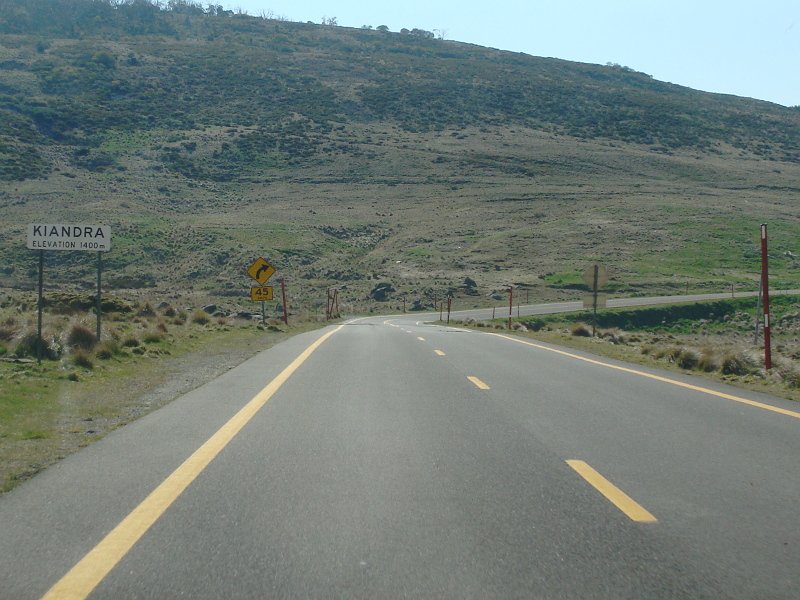
Kiandra: Snowy Mtns Hwy (B72) as it passes through Kiandra, October 2013. The highest town along the highway is Kiandra, at a height of 1400 metres. Image © Paul Rands |
 |
Advance Directional Sign: AD sign at Kiandra approaching The Link Rd, October 2013. Image © Paul Rands |
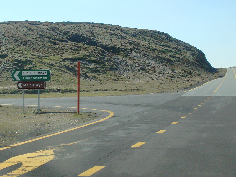 |
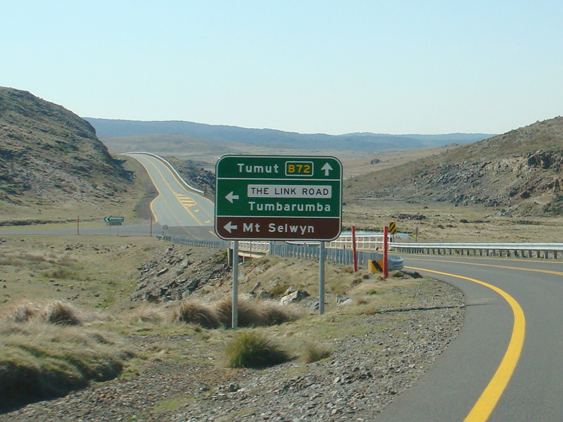
The Link Road: Corner of Snowy Mtns Hwy (B72) and The Link Rd at Kiandra, October 2013. Image © Paul Rands |
 |
Distance Sign: RD sign at Kiandra, October 2013. Image © Paul Rands |
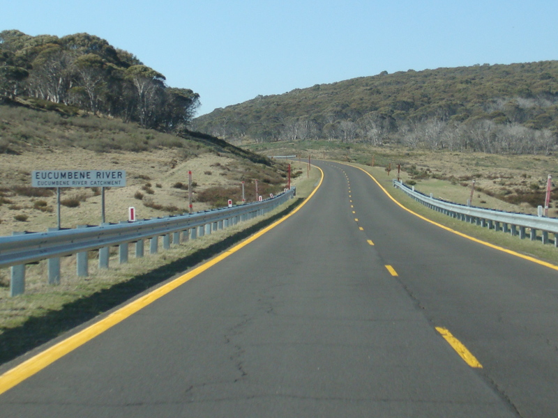 |
Eucumbene River: Snowy Mtns Hwy (B72) as it crosses Eucumbene River in the Kosciuszko National Park, October 2013. Image © Paul Rands |
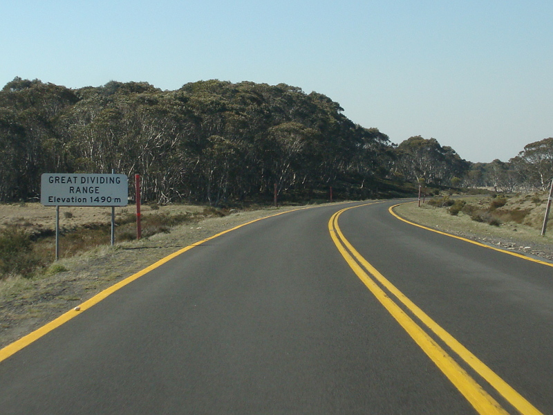 |
Great Dividing Range: Snowy Mtns Hwy (B72) as it crosses the Great Dividing Range in the Kosciuszko National Park, October 2013. Image © Paul Rands |
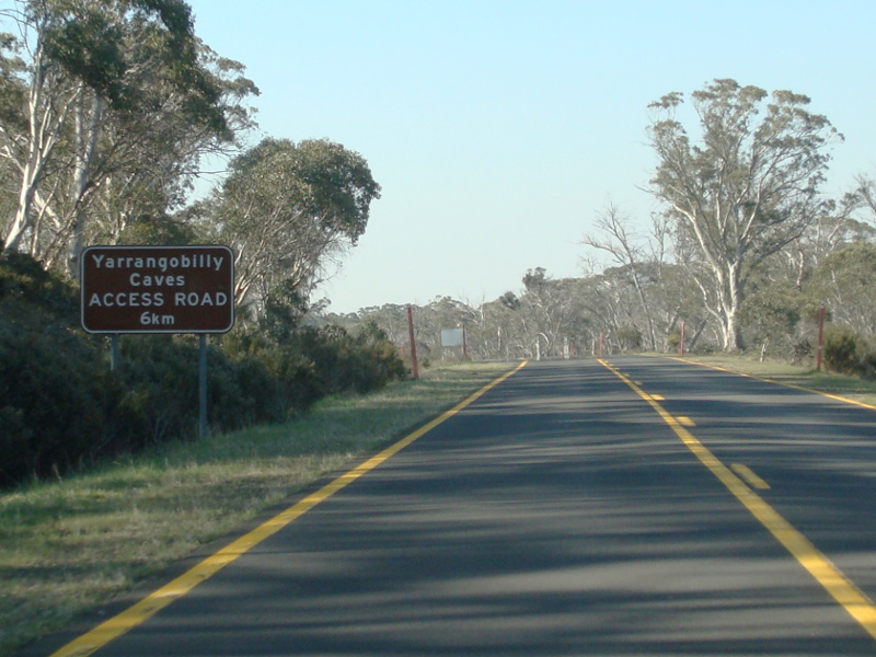 |
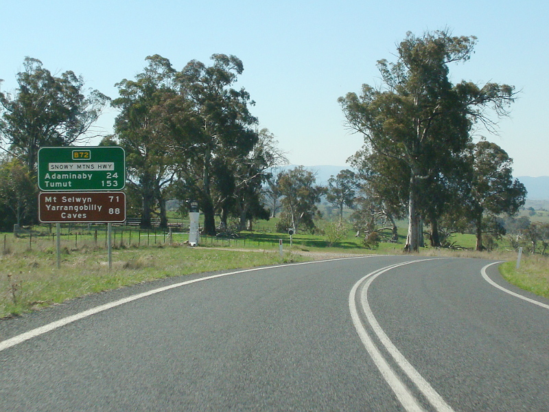
Advance Directional Sign: AD sign at Yarrangobilly approaching Yarrangobilly Caves Rd, October 2013. Image © Paul Rands |
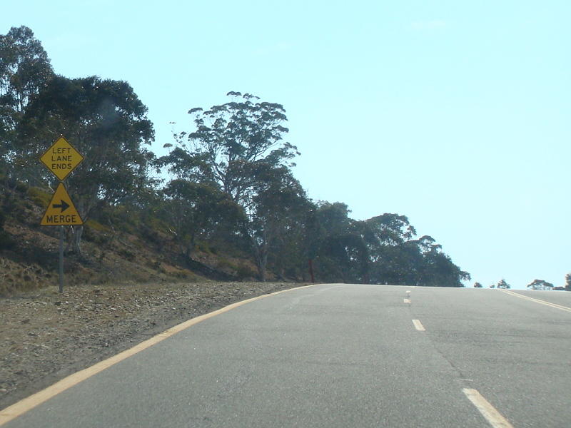 |
Unusual Merge Right Sign: Very unusual merge right sign at Yerrangobilly, October 2013. Image © Paul Rands |
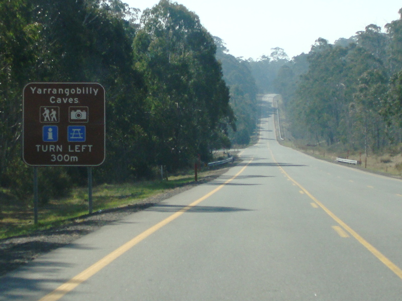 |
Advance Directional Sign: AD sign at Yarrangobilly approaching Yarrangobilly Caves Rd, October 2013. Image © Paul Rands |
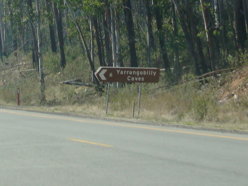 |
Intersection Directional Sign: ID sign at Yarrangobilly at the junction with Yarrangobilly Caves Rd, October 2013. Image © Paul Rands |
 |
Wild Horse Warning Signs: Text only warning sign for wild horses, Yarrangobilly, October 2013. Image © Paul Rands |
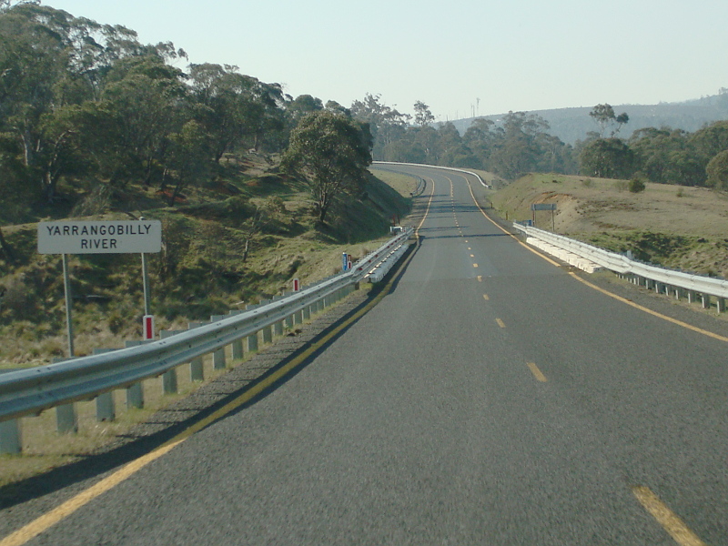 |
Yarrangobilly River: Snowy Mtns Hwy (B72) as it crosses Yarrangobilly River at Yarrangobilly, October 2013. Image © Paul Rands |
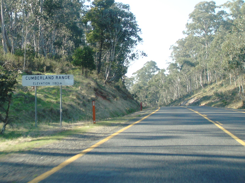 |
Cumberland Range: Snowy Mtns Hwy (B72) as it crosses the Cumberland Range at Pinbeyan, October 2013. Image © Paul Rands |
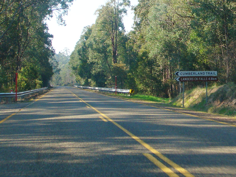 |
Cumberland Trail: Corner of Snowy Mtns Hwy (B72) and Cumberland Trail, Pinbeyan, October 2013. Image © Paul Rands |
|
Click here for the continuation of Snowy Mountains Highway (B72) between Talbingo and Mundarlo Click here for the continuation of Snowy Mountains Highway (B72) between Bega and Cooma |
|
1 Roads and Traffic Authority, Schedule of Classified Roads (and unclassified Regional Roads), 20 February 2009
2 Department of Main Roads, Main Roads of New South Wales, undated brochure
3 Canberra Times, Page 3, 21 October 1958
4 Government Gazette of the State of NSW, Issue 99, Page 2645, 9 September 1955
5 The Cumberland Argus, Page 13, 31 July 1957
6 Canberra Times, Page 10, 8 February 1967
7 Roads & Traffic Authority, Road activity update - Southern NSW, May 2003
Last updated: 22:1:3 17/3/2016.
This site © Paul Rands. All rights reserved. Some portions © (copyright) by their respective and credited owners. Permission must be obtained before using any images from this site. For details, please email by clicking here.