Statistics:
- Length:
- 11 km
- Termini:
- Eastern: Great Eastern Hwy (NR1 / NH94), Causeway (SR5), Shepperton Rd (SR30) and Albany Hwy (unnumbered), Victoria Park
- Western: Queen Victoria St (SR12), Fremantle
- Suburbs, Towns & Localities Along Route:
- Fremantle, East Fremantle, Palmyra, Bicton, Melville, Attadale, Alfred Cove, Ardross, Applecross, Mt Pleasant, Como, South Perth, Kensington and Victoria Park
Route Numbering:
- Current: 6
- Multiplexed with: 1
- Road Authority Internal Classification: 1
- H013
General Information:
Canning Highway is an arterial route in Perth's inner south. It varies from single to dual carriageway standard. It passes through mostly residential and commercial zones.
In 1872 Captain Stirling named the Canning River after the Right Honourable George Canning who was not only a respected Member of Parliament in England, but even held the role of Prime Minister for a short time. The Canning Highway, like other place names in the area are named after him. 2
Multiplexes along the route include:
- National Route 1, for 6 km, between Como and Victoria Park.
History:
- 1981: Land reserved for widening Canning Highway between Berwick Street and Canning Bridge. 3
- 2009: Installation of traffic signals at the intersection of Ardross Street on Canning Highway in Ardross. 4
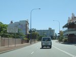
Heavy Vehicle Signage:
Sign at East Fremantle directing trucks to turn off onto Leach Hwy (SR7), December 2012.
Image © Paul Rands
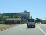
Advance Directional Sign:
AD sign approaching Stirling Hwy (SR5) at East Fremantle, December 2012.
Image © Paul Rands
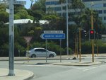
Intersection Directional Sign:
ID sign at the Stirling Hwy junction in East Fremantle, December 2012.
Image © Paul Rands
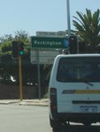
Intersection Directional Sign:
ID sign at the Stirling Hwy junction in East Fremantle, December 2012.
Image © Paul Rands
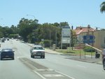
May Street:
Canning Hwy (SR6) at the junction with May St at East Fremantle, December 2012.
Image © Paul Rands
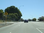
Approaching Petra Street:
Canning Hwy (SR6) approaching Petra St, East Fremantle, December 2012.
Image © Paul Rands
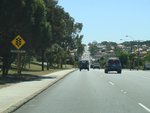
Approaching Carrington Street:
Canning Hwy (SR6) approaching Carrington St, Bicton, December 2012.
Image © Paul Rands
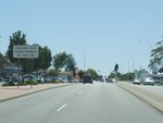
Heavy Vehicle Signage:
Sign at Bicton directing trucks to turn off onto Leach Hwy (SR7), December 2012.
Image © Paul Rands
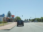
Trailblazer:
SR6 trailblazer approaching Stock Rd at Bicton, December 2012.
Image © Paul Rands
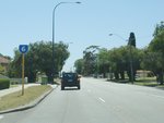
Trailblazer:
SR6 trailblazer at Attadale, after Stock Rd, December 2012.
Image © Paul Rands
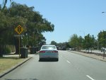
Approaching North Lake Road:
Canning Hwy (SR6) approaching North Lake Rd at Attadale, December 2012.
Image © Paul Rands
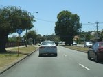
Trailblazer:
SR6 trailblazer at Alfred Cove, December 2012.
Image © Paul Rands
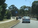
Trailblazer:
SR6 trailblazer at Applecross, December 2012.
Image © Paul Rands
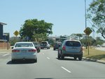
Approaching Risely Street:
Canning Hwy (SR6) approaching Risely St in Applecross, December 2012.
Image © Paul Rands
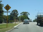
Approaching Ardross Street:
Canning Hwy (SR6) approaching Ardross St in Applecross, December 2012.
Image © Paul Rands
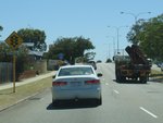
Approaching Reynolds Road:
Canning Hwy (SR6) approaching Reynolds Rd in Applecross, December 2012.
Image © Paul Rands
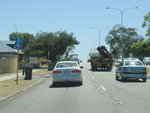
Reynolds Road:
Trailblazer assembly and junction with Reynolds Rd in Applecross, December 2012.
Image © Paul Rands
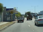
Approaching Sleat Road:
Canning Hwy (SR6) approaching Sleat Rd in Applecross, December 2012.
Image © Paul Rands
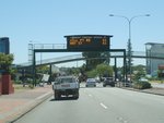
Variable Message Sign:
VMS gantry displaying speeds on the Kwinana Fwy (SR2) at key exit points. Applecross, December 2012.
Image © Paul Rands
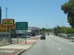
Freeway Green Supplemental Advance Directional Sign:
Supplemental AD sign at Applecross for the Kwinana Fwy (SR2) interchange, December 2012.
Image © Paul Rands
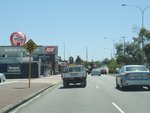
Approaching Canning Beach Road:
Canning Hwy (SR6) approaching Canning Beach Rd at Applecross, December 2012.
Image © Paul Rands
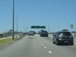
Canning River:
Canning Hwy (SR6) crossing the Canning River via Canning Bridge at Applecross, December 2012.
Image © Paul Rands
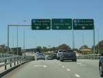
Advance Directional Signs:
AD signs on gantry at Como, approaching Kwinana Fwy (SR2), December 2012.
Image © Paul Rands
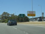
Kwinana Freeway Interchange:
Interchange with Canning Hwy (SR6) and Kwinana Fwy (SR2) at Como, December 2012.
Image © Paul Rands
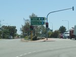
Intersection Directional Sign:
ID sign assembly on the Kwinana Fwy (SR2) and Manning Rd (SR26) interchange at Como, December 2012.
Image © Paul Rands

Trailblazer Assembly:
SR6 / NR1 trailblazer at Victoria Park at the interchange with Causeway (SR5), Great Eastern Hwy (NH94 / NR1) and Shepperton Rd (SR30), June 2009.
Image © Paul Rands
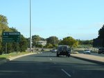
Distance Sign:
RD sign at Victoria Park, June 2009.
Image © Paul Rands
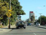
Approaching Way Road:
Canning Hwy (SR6 / NR1) approaching Way Rd at South Perth, June 2009.
Image © Paul Rands
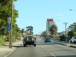
Trailblazer Assembly:
SR6 / NR1 trailblazer at South Perth, approaching Way Rd, June 2009.
Image © Paul Rands
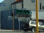
Way Road Intersection:
Corner of Canning Hwy (SR6 / NR1) and Way Rd at South Perth, June 2009.
Image © Paul Rands
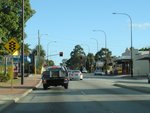
Approaching Douglas Avenue:
Canning Hwy approaching Douglas Av at South Perth, June 2009.
Image © Paul Rands
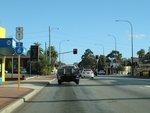
Trailblazer Assembly:
SR6 / NR1 trailblazer at South Perth near Douglas Av, June 2009.
Image © Paul Rands
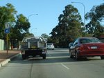
Trailblazer Assembly:
SR6 / NR1 trailblazer at South Perth after the junction with Douglas Av, June 2009.
Image © Paul Rands
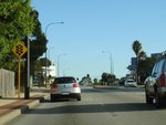
Approaching South Terrace:
Canning Hwy (SR6 / NR1) approaching South Tce at South Perth, June 2009.
Image © Paul Rands
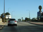
Trailblazer Assembly:
SR6 / NR1 trailblazer at South Perth near South Terrace, June 2009.
Image © Paul Rands
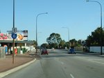
Trailblazer Assembly:
SR6 / NR1 trailblazer at Como near Birdwood Av, June 2009.
Image © Paul Rands
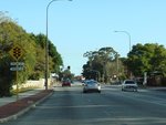
Approaching Barker & Thelma Streets:
Canning Hwy approaching Thelma St and Barker St in Como, June 2009.
Image © Paul Rands
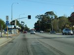
Trailblazer Assembly:
SR6 / NR1 trailblazer at Como near Thelma St and Barker St, June 2009.
Image © Paul Rands
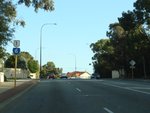
Trailblazer Assembly:
SR6 / NR1 trailblazer at Como after Thelma St and Barker St, June 2009.
Image © Paul Rands
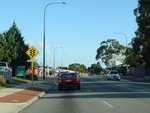
Approaching Henley Street:
Canning Hwy at Como approaching Henley St, June 2009.
Image © Paul Rands
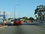
Trailblazer Assembly:
SR6 / NR1 trailblazer at Como near Henley St, June 2009.
Image © Paul Rands
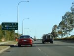
Advance Directional Sign:
AD sign at Como approaching Kwinana Fwy (SR2), June 2009. The NR1 duplex ends as the Kwinana Fwy interchange.
Image © Paul Rands
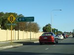
Approaching Kwinana Freeway:
Canning Hwy (SR6 / NR1) approaching Kwinana Fwy (SR2 / NR1) at Como, June 2009.
Image © Paul Rands
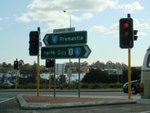
Intersection Directional Sign:
ID sign assembly at Como facing the off ramp from the Kwinana Fwy (SR2), July 2009.
Image © Paul Rands
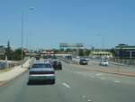
Canning Bridge:
Canning Hwy (SR6) as it crosses the Canning River via the Canning Bridge at Como, December 2012.
Image © Paul Rands
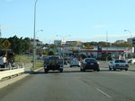
Approaching Carrington Road:
Canning Hwy (SR6) at Mt Pleasant approaching Carrington Rd, June 2009.
Image © Paul Rands
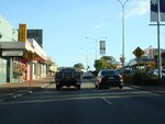
Approaching Sleat Road:
Canning Hwy (SR6) at Applecross approaching Sleat Rd, June 2009.
Image © Paul Rands
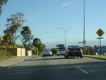
Approaching Reynolds Road:
Canning Hwy (SR6) approaching Reynolds Rd at Applecross, June 2009.
Image © Paul Rands
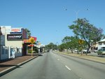
Approaching Riseley Street:
Canning Hwy (SR6) at Applecross approaching Riseley St, December 2012.
Image © Paul Rands
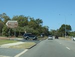
Cunningham Street Intersection:
Intersection directioal sign at the corner of Canning Hwy (SR6) and Cunningham St in Applecross, December 2012.
Image © Paul Rands
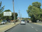
Truck Restriction Sign:
Sign at Alfred Cove instructing trucks to use Leach Hwy (SR7) instead of Canning Hwy (SR6) to access Fremantle, December 2012.
Image © Paul Rands
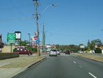
Trailblazer:
SR6 tralblazer at Alfred Cove approaching Cowan St, December 2012.
Image © Paul Rands
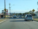
Approaching North Lake Road:
Canning Hwy (SR6) at Alfred Cove approaching North Lake Rd, June 2009.
Image © Paul Rands
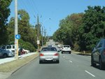
Trailblazer:
SR6 trailblazer at Alfred Cove, December 2012.
Image © Paul Rands
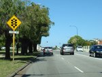
Approaching Stock Road:
Canning Hwy (SR6) at Melville approaching Stock Rd (NR1), December 2012.
Image © Paul Rands
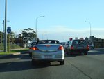
Stock Road Intersection:
Corner of Canning Hwy (SR6) and Stock Rd (NR1) at Melville, June 2009.
Image © Paul Rands
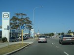
Palmyra:
Canning Hwy (SR6) as it passes through Palmyra, December 2012.
Image © Paul Rands
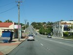
Approaching Carrington Street:
Canning Hwy (SR6) near Hannibal St, approaching Carrington St in Palmyra, December 2012.
Image © Paul Rands
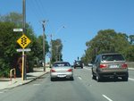
Trailblazer:
SR6 trailblazer at Palmyra near Carrington St, December 2012.
Image © Paul Rands
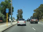
Approaching Preston Point Road:
Canning Hwy at East Fremantle approaching Preston Pt Rd, December 2012.
Image © Paul Rands
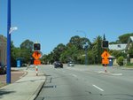
East Fremantle:
Canning Hwy (SR6) near Gill St at East Fremantle, December 2012.
Image © Paul Rands
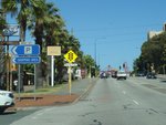
Approaching Preston Point Road:
Canning Hwy (SR6) approaching Preston Point Rd at East Fremantle, December 2012.
Image © Paul Rands
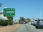
Advance Directional Sign:
AD sign on Canning Hwy (SR6) at East Fremantle, approaching Stirling Hwy (SR5), December 2012.
Image © Paul Rands
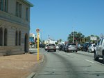
Trailblazer:
TD204 trailblazer showing the route duplexes with SR5 along Stirling Hwy, East Fremantle, December 2012.
Image © Paul Rands
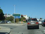
Stirling Highway Intersection:
Corner of Canning Hwy (SR6) and Stirling Hwy (SR5) at East Freamantle, December 2012.
Image © Paul Rands
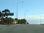
Advance Directional Sign:
AD sign at East Fremantle, approaching Queen Victoria St (SR12), June 2009.
Image © Paul Rands
1 WA Government, Main Roads Western Australia, Road Information Mapping System.
2 City of Canning, Kids Stuff! The City of Canning.
3 John McGrath MLA, Member for South Perth, Media Statement, Canning Highway Reserved Indefinitely, 10 March 2008.
4 WA Government, Main Roads Western Australia, Projects, Ardross Street / Canning Highway Intersection.


