Statistics:
- Length:
- 382 km
- Termini:
- Northern: Toodyay Rd (SR50), Toodyay
- Southern: Albany Hwy (SR30), Cranbrook
- Suburbs, Towns & Localities Along Route:
- Cranbrook, Wansbrough, Tambellup, Bobalong, Broomehill West, Broomehill, Murdong, Katanning, Marracoonda, Westwood, Woodanilling, Boyerine and Lime Lake
Route Numbering:
- Current: 120
- Road Authority Internal Classification: 1
- M031 (Cranbrook to Wagin)
General Information:
Located in the wheatbelt region of Western Australia, State Route 120 is a rural highway connecting some of the oldest European settlements in the state.
Servicing agricultural properties, commercial, industrial and residential areas, the route runs parallel with the Perth-Albany railway corridor for most of its entire length.
History:
- 1949: Great Southern Highway name gazetted. 2

Distance Sign:
RD sign with black topknot after the Albany Hwy intersection at Cranbrook, July 2014.
Image © Terry Siva
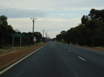
Entering Cranbrook:
Entering the town of Cranbrook, April 2009.
Image © Paul Rands

AD Sign:
Advance directional sign approaching Grantham St in Cranbrook, April 2009.
Image © Paul Rands

Distance Sign:
Reassurance directional sign as SR120 leaves Tambellup, July 2014.
Image © Terry Siva
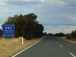
Fatal Crash Count Sign:
Fatal crash count sign as you enter the Great Southern region at Lime Lake, April 2009.
Image © Paul Rands
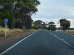
SR120 Trailblazer:
SR120 trailblazer in the Lime Lake area, April 2009.
Image © Paul Rands
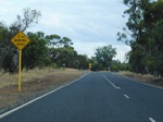
2 km Winding Road:
Sign indicating a winding section of the Great Southern Hwy, near Lime Lake Rd East at Lime Lake, April 2009.
Image © Paul Rands
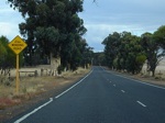
2 km Winding Road:
Sign indicating a winding section of the Great Southern Hwy, at Boyerine, April 2009.
Image © Paul Rands
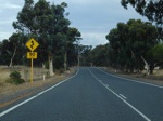
Winding Road:
Sign with 90 km/h speed advisory, indicating a winding section of the Great Southern Hwy, at Boyerine, April 2009.
Image © Paul Rands
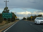
Advance Directional Sign:
AD sign at Woodanilling approaching Robinson Road, April 2009.
Image © Paul Rands
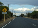
Approaching Robinson Road Intersection:
Great Southern Hwy at Woodanilling, looking south as you approach Robinson Road, April 2009.
Image © Paul Rands
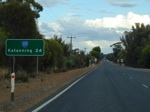
Distance Sign:
Southbound RD sign as you leave Woodanilling, April 2009.
Image © Paul Rands
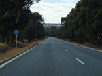
SR120 Trailblazer:
SR120 trailblazer in the Marracoonda area, April 2009.
Image © Paul Rands
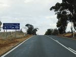
Services Sign:
Sign indicating available services in Katanning, April 2009.
Image © Paul Rands
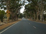
Approaching Dumbleyung Truck Route:
Looking southeast as you approach Crosby St (Dumbleyung Truck Route) at Katanning, April 2009.
Image © Paul Rands
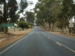
Entering Katanning:
Looking southeast as you enter Katanning, April 2009.
Image © Paul Rands

Advance Directional Sign:
AD sign approaching Kojonup Rd and Clive St in Katanning, April 2009.
Image © Paul Rands
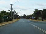
Kojonup Road Intersection:
Corner of Great Southern Hwy (Moojebing Rd) and Kojonup Rd in Katanning, April 2009.
Image © Paul Rands
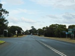
Clive Street Intersection:
Corner of Great Southern Hwy (Moojebing Rd) and Clive St in Katanning, April 2009.
Image © Paul Rands
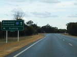
Advance Directional Sign:
AD sign approaching Bay St in Katanning, April 2009.
Image © Paul Rands
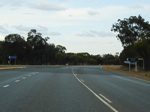
Bay Street Junction:
Corner of Great Southern Hwy (Moojebing Rd) and Bay St in Katanning, April 2009.
Image © Paul Rands

Cornwall Street Junction:
Corner of Great Southern Hwy (Moojebing Rd) and Cornwall St in Katanning, April 2009.
Image © Paul Rands
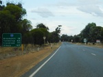
RD Sign:
Reassurance directional sign as you leave Katanning, April 2009.
Image © Paul Rands
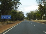
Services Sign:
Sign indicating the services available in Broomehill, April 2009.
Image © Paul Rands
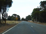
Entering Broomehill:
Looking southeast in the Broomehill town centre, April 2009.
Image © Paul Rands
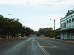
Broomehill Town Centre:
Looking southeast in the Broomehill town centre, April 2009.
Image © Paul Rands
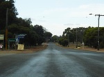
Journal Street Intersection:
Corner of Great Southern Hwy (SR120) and Journal St in Broomehill, April 2009.
Image © Paul Rands
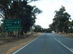
Advance Directional Sign:
AD sign approaching Broomehill-Gnowangerup Road in Broomehill, April 2009.
Image © Paul Rands
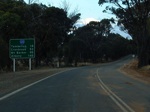
Distance Sign:
RD sign as you leave Broomehill, April 2009.
Image © Paul Rands
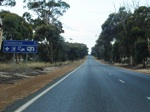
Services Sign:
Sign indicating the services available in the town of Tambellup, April 2009.
Image © Paul Rands
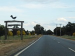
Entering Tambellup:
Entering the town of Tambellup, April 2009.
Image © Paul Rands
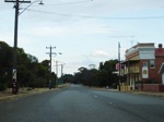
Tambellup Town Centre:
Looking southeast in Tambellup, April 2009.
Image © Paul Rands
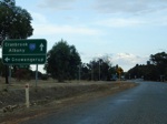
Advance Directional Sign:
AD sign approaching Owen Street in Tambellup, April 2009.
Image © Paul Rands
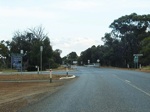
Owen Street Intersection:
Corner of Great Southern Hwy and Owen St (Tambellup-Gnowangerup Rd) in Tambellup, April 2009.
Image © Paul Rands
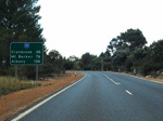
Distance Sign:
RD sign as you leave Tambellup, April 2009.
Image © Paul Rands
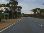
Entering Cranbrook:
Entering the town of Cranbrook, looking southwest, April 2009.
Image © Paul Rands
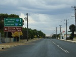
Advance Directional Sign:
AD sign approaching the Grantham St intersection in Cranbrook, April 2009. The SR120 shield to the right is in error.
Image © Paul Rands

AD Sign:
Advance directional sign approaching Albany Hwy (SR30) at Cranbrook, April 2009. This is the southern terminus of SR120.
Image © Paul Rands
1 WA Government, Main Roads Western Australia, Road Information Mapping System.
2 WA Government, Western Australia Government Gazette, Land Act 1933-1948 - Naming of Great Southern Highway (per 5852/48), 8 April 1949.


