Statistics:
- Length:
- 28 km
- Termini:
- Northern: South Gippsland Hwy (M420 and unnumbered) and South Gippsland Fwy (M420), Lynbrook
- Southern: Frankston-Flinders Rd (C777), Western Port Hwy (C777) and Denham Rd, Tyabb
- Suburbs, Towns & Localities Along Route:
- Tyabb, Somerville, Pearcedale, Langwarrin, Cranbourne South, Cranbourne West, Skye, Dandenong South, Lyndhurst and Lynbrook
Route Numbering:
- Current: M780 A780
- Former: 65
- Road Authority Internal Classification: 1
- 6230
General Information:
M780 / A780 is an arterial route in Melbourne's outer southeastern suburbs. Western Port Highway (also known as Dandenong-Hastings Road) is the main link between the South Gippsland Freeway at Lynbrook in the north and Hastings in the south.
The route is a mix of freeway standard dual carriageway, suburban arterial dual carriageway and urban single carriageway road.
History:
- 2007: Work commences on road duplication between Cranbourne-Frankston Road and North Road in Langwarrin for 4.2 km. 2
- 2009: Completion of the duplication works between Cranbourne-Frankston Road and North Road in Langwarrin. The upgrade included new roundabouts at North Road and Browns Road. 2
Click or tap here for the former alignment between Tyabb and Lynbrook
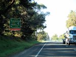
Advance Directional Sign:
AD sign at Pearcedale approaching Baxter-Tooradin Rd (C781), September 2006.
Image © Rob Tilley
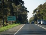
Distance Sign:
RD sign at Pearcedale after the Baxter-Tooradin Rd (C781) roundabout, September 2006.
Image © Rob Tilley
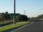
Intersection Directional Sign:
ID sign at Langwarrin at the Cranbourne-Frankston Rd (MR4) roundabout, September 2006.
Image © Rob Tilley
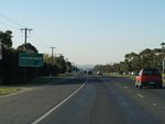
Distance Sign:
RD sign at Langwarrin after the Cranbourne-Frankston Rd (MR4) roundabout, September 2006.
Image © Rob Tilley
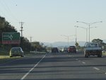
Advance Directional Sign:
AD sign at Skye approaching Ballarto Rd roundabout, September 2006.
Image © Rob Tilley
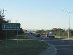
Intersection Directional Sign:
ID sign on the roundabout with Ballarto Rd at Skye, September 2006.
Image © Rob Tilley
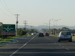
Advance Directional Sign:
AD sign at Skye approaching the roundabout with Hall Rd, September 2006.
Image © Rob Tilley
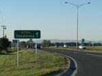
Intersection Directional Sign:
ID sign on the Hall Rd roundabout at Skye, September 2006.
Image © Rob Tilley
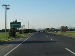
Distance Sign:
RD sign at Skye after the Hall Road roundabout, September 2006.
Image © Rob Tilley
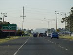
Thompsons Road Roundabout:
Western Port Hwy (M780) approaching Thompsons Rd at Skye, September 2006.
Image © Rob Tilley
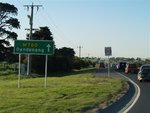
Intersection Directional Sign:
ID sign on the Thompsons Rd roundabout at Lyndhurst, September 2006.
Image © Rob Tilley
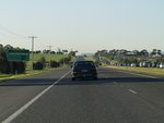
Distance Sign:
RD sign at Lyndhurst after the Thompsons Rd (MR6) roundabout, September 2006.
Image © Rob Tilley
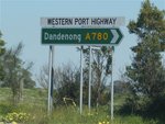
Intersection Directional Sign:
ID sign facing Moreton Bay Blvd at Lyndhurst, September 2006.
Image © Rob Tilley
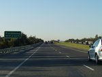
Supplemental Advance Directional Sign:
Supplemental AD sign at Dandenong South, September 2006.
Image © Rob Tilley
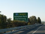
Advance Directional Sign:
AD sign at Dandenong South approaching the interchange with South Gippsland Hwy (M420), September 2006.
Image © Rob Tilley
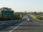
Supplemental Advance Directional Sign:
Supplemental AD sign at Dandenong South approaching the interchange with South Gippsland Hwy (M420), September 2006.
Image © Rob Tilley
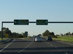
South Gippsland Highway Interchange:
End of M780 at the South Gippsland Hwy (M420) interchange at Dandenong South, September 2006.
Image © Rob Tilley
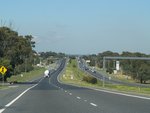
Western Port Highway:
Southbound at Hampton Park near the interchange with South Gippsland Fwy (M420), September 2006.
Image © Rob Tilley
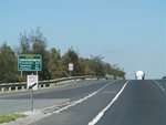
Distance Sign:
Southbound RD sign at Lynbrook, September 2006.
Image © Rob Tilley
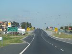
Moreton Bay Boulevard & Bayliss Road Intersection:
Corner of Western Port Hwy (M780), Moreton Bay Blvd and Bayliss Rd at Lyndhurst, September 2006.
Image © Rob Tilley
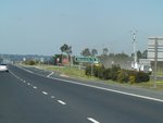
Glasscocks Road Intersection:
Corner of Western Port Hwy (M780) and Glasscocks Rd at Lyndhurst, September 2006.
Image © Rob Tilley
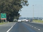
Advance Directional Sign:
AD sign at Lyndhurst approaching Thompsons Rd (MR6), September 2006.
Image © Rob Tilley
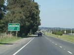
Distance Sign:
RD sign at Cranbourne West after Thompsons Rd (MR6), September 2006.
Image © Rob Tilley
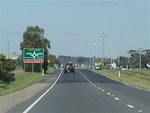
Advance Directional Sign:
AD sign at Cranbourne West approaching Hall Rd, September 2006.
Image © Rob Tilley
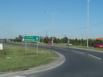
Intersection Directional Sign:
ID sign at Cranbourne West after the Hall Road roundabout, September 2006.
Image © Rob Tilley

Advance Directional Sign:
AD sign at Cranbourne West approaching the roundabout with Ballarto Rd, September 2006.
Image © Rob Tilley
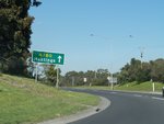
Intersection Directional Sign:
ID sign Cranbourne West on the Ballarto Rd roundabout, September 2006.
Image © Rob Tilley
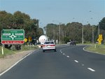
Advance Directional Sign:
AD sign approaching Cranbourne-Frankston Rd (MR4) at Cranbourne South, September 2006.
Image © Rob Tilley
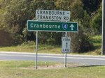
Intersection Directional Sign:
ID sign assembly on the Cranbourne-Frankston Rd (MR4) roundabout at Cranbourne South, September 2006.
Image © Rob Tilley
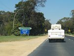
Approaching Robinsons Road:
Western Port Hwy (A780) approaching Robinsons Rd at Pearcedale, September 2006.
Image © Rob Tilley
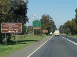
Advance Directional Sign:
AD sign approaching Baxter-Tooradin Rd (C781) at Pearcedale, September 2006.
Image © Rob Tilley
1 VIC Government, VicRoads, Road Management Plan 2020-2021, 07 December 2020.
2 VIC Government, The Victorian Transport Plan, Western Port Highway Duplication.


