|
|
|
|
|
| Camden Valley Way, Camden Bypass, Remembrance Drive & Old Hume Highway (State Route 89) - Camden To Picton (Decommissioned) |
Statistics:
Route Numbering:


General Information:
State Route 89 is the former Hume Highway alignment between Prestons and Alpine near Mittagong. More of the former Hume Highway alignment continues from the northern terminus into the town of Liverpool. That section is defunct as far as numbering is concerned. This happened when the Roads and Traffic Authority decommisioned the Metroad 7 route between the M2 Hills Motorway at West Pennant Hills to the Metroad 5 Hume Highway at Prestons upon opening the Westlink M7 motorway in December 2005.
The route has a very big history, which goes back to the the first road south from Sydney, known as the Great South Road, which was formed in the 1800s. Some sections of the route still utilise the concrete pavement laid in the 1940s. The route is made up of mostly undivided road, however there's sections of 2 lane rural style road, 3 lane road and 4 lane roadway throughout the route, the Camden Bypass is freeway standard from Narellan and Elderslie.
Multiplexes along the route include:
History:
| Camden to Picton | Picton to Camden | |||
| Preview: | Description: | Preview: | Description: | |
 |
Typical conditions in the Menangle Area: This photo typifies the road qualities and scenery you'll find between Menangle and Picton when before the Razorback Range, December 2005. Image © Paul Rands |
 |
Northbound at Picton: Approaching Picton from the south. December 2006. Image © Paul Rands |
|
 |
Cawdor Road Intersection: Looking south at Menangle as you pass through the Cawdor Road junction, December 2005. This road connects to the alignment of the Old South Road, now known as Old Razorback Road. Image © Paul Rands |
 |
Welcome to Picton: Image © Paul Rands |
|
 |
Finns Road Interesection: Looking southbound at Menangle as you pass through the Finns Road intersection and start the climb up the Razorback Range, December 2005. Image © Paul Rands |
 |
Thirlmere Way Intersection: Image © Paul Rands |
|
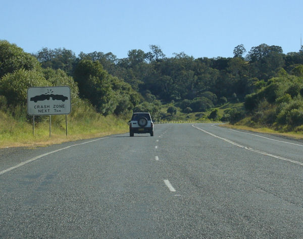 |
Crash Zone Signage: Warning sign as you head south from Finns Road at Menangle. December 2005. Image © Paul Rands |
 |
Northbound at South Picton: Image © Paul Rands |
|
 |
Southbound at Menangle: Climbing the twisty and steep Razorback Range, December 2005. Image © Paul Rands |
 |
Approaching the Railway Underpass at Picton: Image © Paul Rands |
|
 |
Typical Conditions: Average road conditions and scenery as you head up the Razorback Range, December 2005. This section of the highway has had a few occurences of subsidence over the years. Image © Paul Rands |
 |
Approaching the Railway Underpass at Picton: Image © Paul Rands |
|
 |
Typical Conditions: Average road conditions and scenery as you head up the Razorback Range, December 2005. Image © Paul Rands |
 |
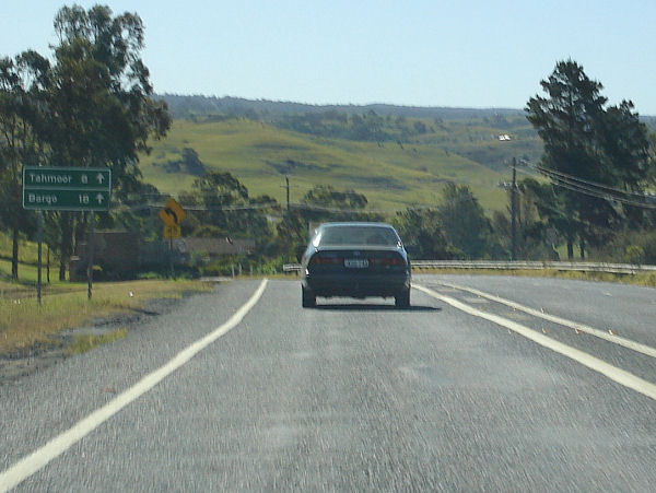
Advance Directional Signage for Barkers Lodge Road: Image © Paul Rands |
|
 |
Typical Conditions: Average road conditions and scenery as you head up the Razorback Range, December 2005. Image © Paul Rands |
 |
AD Sign: Image © Paul Rands |
|
 |
Typical Conditions: Average road conditions and scenery as you head up the Razorback Range, December 2005. Image © Paul Rands |
 |
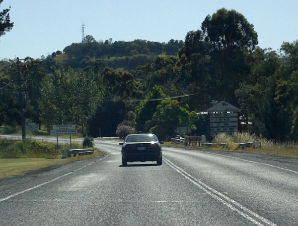
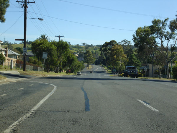
Northbound at Menangle Street Intersection: Image © Paul Rands |
|
 |
Southbound at Razorback: Looking southbound past the 1979 Truck Drivers Blockade memorial, December 2005. For information on the blockade and it's monumental consequences, click here. Image © Paul Rands |
 |
Remembrance Driveway Reassurance Sign: Image © Paul Rands |
|
 |
Razorback Range: Southbound before Mount Hercules Road at Razorback, as you approach the highest point of the roadway in the area, December 2005. Image © Paul Rands |
 |
Distance Sign: Image © Paul Rands |
|
 |
Top of the Razorback Range: Signage announcing the top of the Razorback Range with the intersection for Donalds Range Road and Mount Hercules Road, December 2005. Image © Paul Rands |
|||
 |
Southbound at Razorback: Heading towards Picton just after the Anthony Horden Tree Memorial, December 2005. Image © Paul Rands |
|||
 |
Decending down Razorback: Winding your way down the other side of the Razorback Range, December 2005. Image © Paul Rands |
|||
 |
Decending down Razorback: Image © Paul Rands |
|||
 |
Decending down Razorback: Image © Paul Rands |
|||
 |
Racecourse Creek: Image © Paul Rands |
|||
 |
Typical Conditions: Image © Paul Rands |
|||
 |
Southbound at Picton: Image © Paul Rands |
|||
 |
Southbound at Picton: Image © Paul Rands |
|||
 |
Distance Sign: Image © Paul Rands |
|||
 |
Picton: Image © Paul Rands |
|||
 |
Regreme Road Intersection: Image © Paul Rands |
|||
 |
Advance Directional Sign: Image © Paul Rands |
|||
 |
Southbound at Menangle Street Intersection: Image © Paul Rands |
|||
 |
Barkers Lodge Road Intersection: Image © Paul Rands |
|||
 |
Reassurance Sign: Image © Paul Rands |
|||
 |
Distance Sign: Image © Paul Rands |
|||
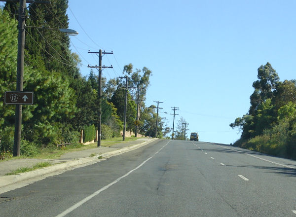 |
Tourist Drive 12 Trailblazer: Image © Paul Rands |
|||
 |
Cowper Street Intersection: Image © Paul Rands |
|||
 |
Approaching Hill Street: Image © Paul Rands |
|||
| Click here for the continuation of SR89 between Picton and Bargo Click here for the continuation of SR89 between Camden and Narellan |
||||
1 Roads and Traffic Authority
2 Argyle County web site
Last updated: 17-Dec-2019 0:55
This site © Paul Rands. All rights reserved. Some portions © (copyright) by their respective and credited owners. Permission must be obtained before using any images from this site. For details, please email by clicking here.