Statistics:
- Length:
- 108 km
- Termini:
- Northern: Cape Naturaliste Lighthouse, Naturaliste
- Southern: Bussell Highway (SR10), Augusta
- Suburbs, Towns & Localities Along Route:
- Augusta, Deepdene, Hamelin Bay, Karridale, Boranup, Redgate, Margaret River, Burnside, Gracetown, Cowaramup, Wilyabrup, Yallingup, Quedjinup, Dunsborough and Naturaliste
Route Numbering:
- Current: 250
- Road Authority Internal Classification: 1
- M043 (Augusta to Dunsborough)
General Information:
Following Caves Road and Cape Naturaliste Road, Tourist Drive 250 in the Margaret River / Southwest Region of WA runs in a mostly north-south direction and is so named because of the caves that are dotted along the route.
The route passes through Boranup Karri Forest which is a spectacular karri forest regrown after logging during the late nineteenth century. Some of the trees in this forest are 60 metres high. The route also connects with several wineries and galleries dotted through the Margaret River region.
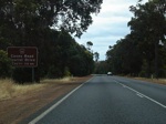
State Tourist Drive 250 Sign:
Sign on Bussell Hwy (SR10) at Augusta approaching the Caves Rd junction. December 2007. TD250 does not include Bussell Hwy.
Image © Paul Rands
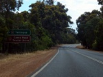
Advance Directional Sign:
Northbound on Bussell Hwy (SR10) at Augusta approaching Caves Road. December 2007.
Image © Paul Rands
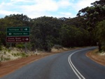
Advance Directional Sign:
Northbound AD sign approaching Hamelin Bay Road at Hamelin Bay Rd intersection, Hamelin Bay. December 2007.
Image © Paul Rands
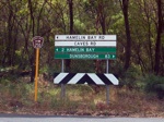
Fingerboard Assembly:
Signage facing Caves Road traffic at Hamelin Bay, December 2007.
Image © Paul Rands
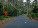
Typical Conditions:
Typical conditions along TD250 at Boranup, northbound, December 2007.
Image © Paul Rands
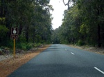
Typical Conditions:
Typical conditions along TD250 at Boranup, northbound, December 2007.
Image © Paul Rands
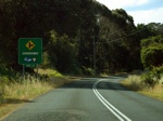
Advance Directional Sign / Warning Sign:
Northbound at Boodijup approaching Boodijup Road, December 2007.
Image © Paul Rands
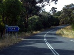
Boodijup Road Intersection:
Boodijup, northbound, December 2007.
Image © Paul Rands
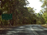
Advance Directional Sign:
Northbound approaching Wallcilffe Road at Prevelly Park, December 2007.
Image © Paul Rands
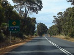
Advance Directional / Warning Sign:
Northbound approaching Harmans Road South at Wilyabrup, December 2007.
Image © Paul Rands
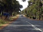
Harmans Road South Intersection:
Northbound at the junction with Harmans Road South at Wilyabrup, December 2007.
Image © Paul Rands
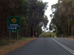
Advance Directional / Warning Sign:
Northbound approaching Metricup Road in Wilyabrup, December 2007.
Image © Paul Rands
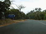
Metricup Road intersection:
Northbound at the intersection with Metricup Road in Wilyabrup. December 2007.
Image © Paul Rands
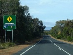
Advance Directional / Warning Sign:
Northbound approaching Marrinup Drive at Yallingup, December 2007.
Image © Paul Rands
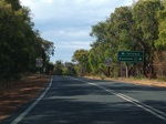
Advance Directional Sign:
Approaching Yallingup Beach Road intersection at Yallingup, northbound, December 2007.
Image © Paul Rands
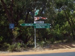
Fingerboard Assembly:
The signage at the intersection with Yallingup Beach Road, December 2007.
Image © Paul Rands
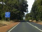
Roadwise Sign:
Sign indicating local authorities working the state government on safer driving practices, Yallingup, December 2007.
Image © Paul Rands
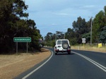
Entering Dunsborough:
Looking northeast, December 2007.
Image © Paul Rands
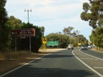
Advance Directional Sign:
Sign indicating at Dunsborough the turn for Cape Naturaliste Road and the continuation to Cape Naturaliste lighthouse, December 2007.
Image © Paul Rands
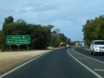
Advance Directional Sign:
Sign at Dunsborough indicating the turn for Cape Naturaliste Road and the continuation to Cape Naturaliste lighthouse, December 2007.
Image © Paul Rands
1 WA Government, Main Roads Western Australia, Road Information Mapping System.


