Statistics:
- Length:
- 22 km
- Termini:
- Eastern: West Swan Road (SR52), Caversham
- Western: Marmion Avenue (SR76) and Karrinyup Rd (TD204), Karrinyup
- Suburbs, Towns & Localities Along Route:
- Karrinyup, Gwelup, Innaloo, Stirling, Balcatta, Tuart Hill, Nollamara, Yokine, Dianella, Morley, Eden Hill, Kiara, Lockridge and Caversham
Route Numbering:
- Current: 76
- Road Authority Internal Classification: 1
- H028
General Information:
State Route 76 consists of almost all dual carriageway with 2 lanes each way, except the sections covering Lord Street and Benara Road, these are single carriageway with 1 lane in each direction.
The route passes through mostly residential areas, with a small amount of commercial development such as local shops, etc.
History:
- 21 September 1984: Mitchell Freeway interchange with Karrinyup Road completed. 2
- 18 December 1989: Tonkin Hwy intersections at Benara Rd and Morley Drive were completed. 2
Click or tap here for the former alignment between Karrinyup and Caversham
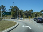
Intersection Directional Sign:
ID sign on the corner of Marmion Av (SR71) and Karrinyup Rd in Karrinyup. This is the western terminus of SR76. November 2008.
Image © Paul Rands
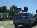
Mitchell Fwy Interchange:
Mitchell Freeway (SR2) interchange at Karrinyup. November 2008.
Image © Paul Rands
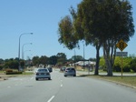
Stirling Area:
Karrinyup Rd as it passes through Stirling, near Grindleford Dr and San Remo Blvd, November 2008.
Image © Paul Rands
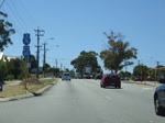
Trailblazers:
Trailblazer assembly at Balcatta approaching the Wanneroo Rd (SR60) junction, November 2008.
Image © Paul Rands
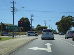
Wanneroo Road Intersection:
Morley Drive as it meets Wanneroo Road at Balcatta. November 2008.
Image © Paul Rands
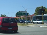
Wanneroo Road Intersection:
Morley Drive as it meets Wanneroo Road at Balcatta. November 2008.
Image © Paul Rands
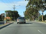
Trailblazer:
SR76 trailblazer after the Wanneroo Rd (SR60) intersection at Nollamara, June 2009.
Image © Paul Rands
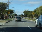
Approaching Flinders Street:
Morley Dr (SR76) at Nollamara approaching Flinders St, June 2009.
Image © Paul Rands
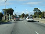
Flinders Street:
Corner of Morley Dr (SR76) and Flinders St in Nollamara, June 2009.
Image © Paul Rands
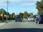
Trailblazer:
SR76 trailblazer after the Flinders St intersection at Nollamara, June 2009.
Image © Paul Rands
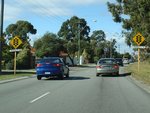
Approaching Dianella Drive:
Morley Dr (SR76) approaching Dianella Dr at Dianella, June 2009.
Image © Paul Rands
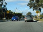
Approaching Grand Promenade:
Morley Dr (SR76) approaching Grand Prom (SR55), June 2009.
Image © Paul Rands
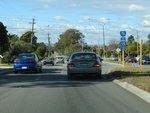
Grand Promenade:
Morley Dr (SR76) at Dianella at the junction with Grand Prom (SR55), June 2009.
Image © Paul Rands
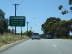
Supplemental AD Sign:
Supplemental advance directional sign approaching the intersection with Alexander Drive (SR56) at Dianella, November 2008.
Image © Paul Rands
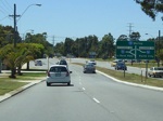
Advance Directional Sign:
Unusual diagrammatic AD sign approaching Alexander Dr intersection in Dianella, November 2008.
Image © Paul Rands
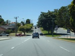
Morley Area:
Morley Drive as it passes through Morley near McGilvray Av, November 2008.
Image © Paul Rands

Morley Area:
Morley Drive as you approach Beechboro Road North (SR53) at Morley. November 2008.
Image © Paul Rands

Trailblazer Assembly:
Trailblazers approaching the Beechboro Rd Nth intersection. November 2008.
Image © Paul Rands
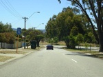
Approaching Lord Street:
Trailblazer as you approach the junction with Lord Street in Lockridge, SR76 turns left here, November 2008.
Image © Paul Rands
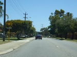
Approaching Bernara Road:
Northbound on Lord Street approaching the roundabout with Bernara Road, SR76 turns right at the roundabout, November 2008.
Image © Paul Rands
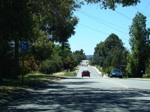
Bernara Road:
Eastbound on Bernara Road in Caversham. November 2008.
Image © Paul Rands
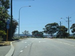
End SR76:
Trailblazer assembly marking the end of State Route 76 approaching West Swan Road in Caversham, November 2008.
Image © Paul Rands
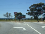
SR76 Terminus:
Corner of West Swan Rd (SR52) and Bernara Rd (SR76) at Caversham, November 2008.
Image © Paul Rands
1 WA Government, Main Roads Western Australia, Road Information Mapping System.
2 WA Government, Main Roads Western Australia.


