Statistics:
- Length:
- 12 km
- Termini:
- Eastern: Lord St (SR51) and Summers St (unnumbered), Perth
- Western: West Coast Highway (SR71), City Beach
- Suburbs, Towns & Localities Along Route:
- City Beach, Wembley Downs, Floreat, Wembley, West Leederville, Leederville, North Perth, West Perth and Perth
Route Numbering:
- Current: 72
- XX
General Information:
State Route 72 links the inner Perth suburbs with the western coastal beach suburbs, and is a mix of 2-lane and 4-lane roadway and passes through mostly residential and commercial areas.
History:
- 1976: Construction completed on the Mitchell Freeway & Vincent Street interchange in West Leederville. 1
- 2000: Installation of roundabouts on The Boulevard at the intersections of Empire Avenue and Grantham Street. 2
- 2001: Grantham Street / Seymour Avenue Intersection modified to a left-in / left-out setup. 3
- 2003: Installation of traffic signals at the intersection of West Coast Highway and The Boulevard at City Beach. 3
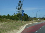
Trailblazer Assembly:
Southbound on West Coast Hwy (SR71) at the intersection with The Boulevard (SR72) at City Beach. November 2008.
Image © Paul Rands
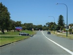
Approaching Landra Gardens:
Eastbound on The Boulevard approaching Landra Gardens at City Beach, November 2008.
Image © Paul Rands
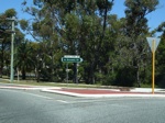
Bold Park Drive:
ID sign assembly on the corner of The Boulevard and Bold Park Road in City Beach, November 2008.
Image © Paul Rands
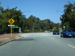
Approaching Empire Avenue:
Eastbound on The Boulevard approaching Empire Avenue at Floreat, November 2008.
Image © Paul Rands
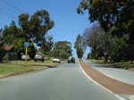
Trailblazer:
Route number sign on Grantham St in Floreat after the roundabout with The Boulevard, November 2008.
Image © Paul Rands
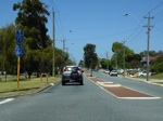
Trailblazer Assembly:
Eastbound on Grantham Street approaching Selby Street (SR64) in Floreat, November 2008. It's common in Perth to find very few directional signs, except for trailblazers along some of the minor state routes.
Image © Paul Rands
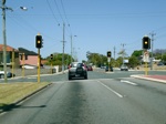
Selby Street Intersection:
Corner of Grantham St (SR72) and Selby St (SR64) in Floreat, November 2008.
Image © Paul Rands
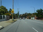
Approaching Harbourne Street:
Traffic signals warning sign with name placard approaching the junction with Harbourne Street in Wembley. November 2008.
Image © Paul Rands
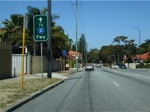
AD Sign:
Advance directional sign indicating route to Mitchell Fwy (SR2) is via Grantham St (SR72) as you approach the intersection with Harbourne Street in Wembley. November 2008.
Image © Paul Rands
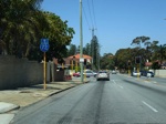
Harbourne Street Intersection:
Eastbound on Grantham St (SR72) at the intersection with Harbourne St in Wembley. November 2008.
Image © Paul Rands
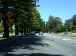
Lake Monger Drive:
Eastbound on Lake Monger Drive as it passes Lake Monger in West Leederville. November 2008.
Image © Paul Rands
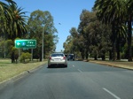
Advance Directional Sign:
AD sign for the northbound ramp to the Mitchell Fwy (SR2) at West Leederville, November 2008.
Image © Paul Rands
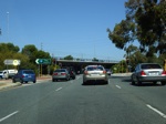
Mitchell Freeway Interchange:
Eastbound on Lake Monger Dr at West Leederville at the Mitchell Fwy interchange, November 2008.
Image © Paul Rands
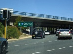
Advance Directional Sign:
AD sign for the southbound cloverleaf ramp to the Mitchell Freeway. Lake Monger Drive at West Leederville. November 2008.
Image © Paul Rands
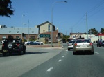
Leederville Pde & Mitchell Fwy Junction:
Eastbound on Vincent Street in Leederville at the junction with Mitchell Fwy (SR2) and Leederville Pde, November 2008.
Image © Paul Rands
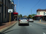
Leederville:
Vincent St (SR72) as it approaches Oxford St in Leederville, November 2008.
Image © Paul Rands
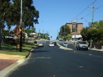
Approaching Loftus Street:
Eastbound on Vincent St in Leederville approaching Loftus St (SR61), November 2008.
Image © Paul Rands
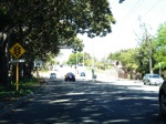
Approaching Charles Street:
Eastbound on Vincent St in North Perth, as you approach the Charles St (SR60) signalised intersection, November 2008.
Image © Paul Rands
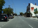
Approaching Fitzgerald Street:
Travelling southeast on Bulwer St (SR72) as you approach Fitzgerald St in West Perth, November 2008.
Image © Paul Rands
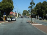
Approaching William Street:
Looking southeast on Bulwer St (SR72) as you approach William St in Perth, November 2008.
Image © Paul Rands
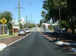
Approaching beaufort Street:
Traffic signals warning sign with road name placard as you approach the junction of Bulwer St (SR72) and Beaufort St (SR53) in Perth. November 2008.
Image © Paul Rands
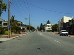
Trailblazer:
Route number sign after the Beaufort Street intersection in Perth, November 2008.
Image © Paul Rands
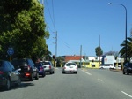
End State Route 72:
SR51 trailblazer as you approach the eastern terminus of SR72, on Bulwer Street in Perth, November 2008.
Image © Paul Rands
1 WA Government, Main Roads Western Australia.
2 Town of Cambridge.
3 WA Government, Western Australian Government Media Office.


