Statistics:
- Length:
- 8 km
- Termini:
- Northern: Wanneroo Rd (SR60), Joondanna
- Southern: Stirling Hwy (SR5), Mounts Bay Rd (SR5) and University of Western Australia entrance, Crawley
- Suburbs, Towns & Localities Along Route:
- Crawley, Nedlands, Shenton Park, West Perth, West Leederville, Leederville, North Perth, Mount Hawthorn and Joondanna
Route Numbering:
- Current: 61
- XX
General Information:
State Route 61 is a suburban route in Perth's inner western suburbs. It's a mix of divided and undivided multi-laned road. It services mostly residential and commercial areas.
History:
- 1999: Funding allocated for the construction of the Loftus Street bridge over Mitchell Freeway at West Perth. 1
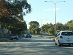
Poole Avenue:
Corner of Winthrop Av (SR61) and Poole Av at Nedlands, June 2009.
Image © Paul Rands
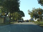
Approaching Monash Avenue:
Winthrop Av (SR61) approaching Monash Av in Nedlands, June 2009.
Image © Paul Rands
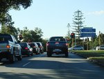
Monash Avenue:
Corner of Winthrop Av (SR61) and Monash Av in Nedlands, June 2009.
Image © Paul Rands
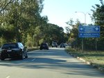
Approaching Aberdare Road:
AD sign approaching Aberdare Rd at Nedlands, June 2009.
Image © Paul Rands
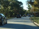
Approaching Aberdare Road:
Winthrop Av (SR61) at Nedlands approaching Aberdare Rd, June 2009.
Image © Paul Rands
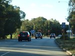
Aberdare Road:
Corner of Winthrop Av (SR61) and Aberdare Rd in Nedlands, June 2009. SR61 becomes Thomas St from this junction.
Image © Paul Rands

Approaching Rokeby Road & Saw Avenue:
Thomas St (SR61) approaching Rokeby Rd (SR64) and Saw Av in Shenton Park, June 2009.
Image © Paul Rands

Rokeby Road & Saw Avenue:
Corner of Thomas St (SR61), Rokeby Rd (SR64) and Saw Av in Shenton Park, June 2009.
Image © Paul Rands

Advance Directional Sign:
AD sign with lane allocations at Subiaco, approaching Bagot Rd and Kings Park Rd (former TD200), June 2009.
Image © Paul Rands

Bagot Road & Kings Park Road:
Thomas St (SR61) in Subiaco at the junction with Kings Park Rd (former TD200) and Bagot Rd, June 2009.
Image © Paul Rands
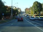
Trailblazer:
SR61 trailblazer in Subiaco after the Bagot Rd & Kings Park Rd (former TD200) intersection, June 2009.
Image © Paul Rands
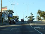
Approaching Hay Street:
Thomas St (SR61) at Subiaco, approaching Hay St (SR65), June 2009.
Image © Paul Rands
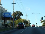
Hay Street:
Intersection directional sign assembly at the Hay St (SR65) junction in Subiaco, June 2009.
Image © Paul Rands

Approaching Wellington St & Roberts Rd:
Thomas Street (SR61) at Subiaco approaching Wellington Street & Roberts Road (SR65), June 2009.
Image © Paul Rands
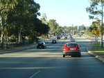
Approaching Railway Parade:
Thomas St (SR61) approaching Railway Pde in Subiaco, June 2009.
Image © Paul Rands

Trailblazer:
SR61 trailblazer on Cambridge St West Leederville, approaching Thomas St (SR61), April 2016.
Image © Paul Rands

Advance Directional Sign:
AD sign at West Perth, approaching Leederville Pde & Graham Farmer Fwy (SR8), June 2009.
Image © Paul Rands

Leederville Parade & Graham Farmer Freeway:
Junction with Thomas St (SR61), Leederville Pde and Graham Farmer Fwy (SR8) in West Perth, June 2009.
Image © Paul Rands

Freeway Green Intersection Directional Sign:
Freeway green ID sign at the corner of Thomas St (SR61), Leederville Pde and Graham Farmer Fwy (SR8) in West Perth, June 2009.
Image © Paul Rands
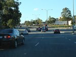
Approaching Newcastle Street:
Loftus St (SR61) approaching Newcastle St in Leederville, June 2009.
Image © Paul Rands
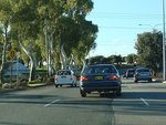
Approaching Vincent Street:
Loftus St (SR61) at Leederville approaching Vincent St (SR72), June 2009.
Image © Paul Rands
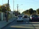
Approaching Bourke Street:
Loftus St at Leederville approaching Bourke St, June 2009.
Image © Paul Rands
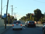
Bourke Street:
Loftus St at Leederville at the junction with Bourke St, June 2009.
Image © Paul Rands

Approaching Scarborough Beach Road & London Street:
Loftus St (SR61) at Mt Hawthorn approaching London St (SR61) and Scarborough Beach Rd, June 2009.
Image © Paul Rands

Green Street:
London St (SR61) at the Green St (SR75) junction at Mt Hawthorn, June 2009.
Image © Paul Rands

Approaching Wanneroo Road:
London St (SR61) at Joondanna, approaching Wanneroo Rd (SR60), June 2009.
Image © Paul Rands

Wanneroo Road:
Northern terminus of SR61 - Wanneroo Rd (SR60) at Joondanna, June 2009.
Image © Paul Rands
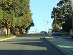
Green Street:
London St (SR61) approaching the Green St (SR75) junction at Joondanna, June 2009.
Image © Paul Rands
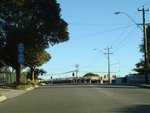
Trailblazers:
Trailblazer assembly on London St (SR61) approaching the Green St (SR75) junction at Joondanna, June 2009.
Image © Paul Rands
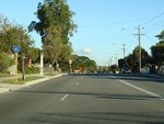
Trailblazer:
Trailblazer on London St (SR61) after the Green St (SR75) junction at North Perth, June 2009.
Image © Paul Rands
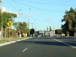
Approaching Scarborough Beach Road & London Street:
London St (SR61) at North Perth approaching Loftus St (SR61) and Scarborough Beach Rd, June 2009.
Image © Paul Rands
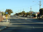
Trailblazer:
Trailblazer on Loftus St (SR61) after the Scarborough Beach Rd junction at North Perth, June 2009.
Image © Paul Rands
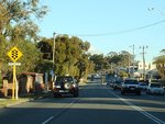
Approaching Bourke Street:
Loftus St at North Perth approaching Bourke St, June 2009.
Image © Paul Rands
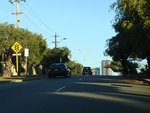
Approaching Vincent Street:
Loftus St (SR61) at North Perth approaching Vincent St (SR72), June 2009.
Image © Paul Rands
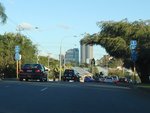
Trailblazer Assembly:
Trailblazers on Loftus St (SR61) at North Perth approaching Vincent St (SR72), June 2009.
Image © Paul Rands
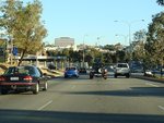
Approaching Newcastle Street:
Loftus St (SR61) approaching Newcastle St in West Perth, June 2009.
Image © Paul Rands
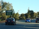
Advance Directional Sign:
AD sign at West Perth, approaching Leederville Pde & Graham Farmer Fwy (SR8), June 2009.
Image © Paul Rands
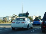
Leederville Parade & Graham Farmer Freeway:
Junction with Thomas St (SR61), Leederville Pde and Graham Farmer Fwy (SR8) in West Perth, June 2009.
Image © Paul Rands
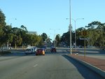
Approaching Railway Parade:
Thomas St (SR61) approaching Railway Pde in West Perth, June 2009.
Image © Paul Rands
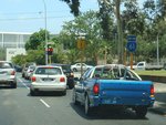
Trailblazer:
Trailblazer on Hay St in West Perth approaching Thomas St (SR61), November 2011.
Image © Paul Rands
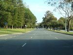
Trailblazer:
SR61 trailblazer at Kings Park after the junction with Rokeby Rd (SR64), July 2009.
Image © Paul Rands
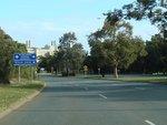
Advance Directional Sign:
AD sign at Kings Park approaching Aberdare Rd, July 2009.
Image © Paul Rands
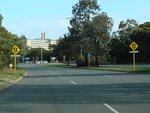
Approaching Aberdare Rd:
Thomas Street approaching Aberdare Road in Kings Park, July 2009.
Image © Paul Rands
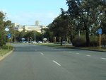
Aberdare Road Intersection:
Trailblazers at the intersection with Aberdare Rd at Kings Park, July 2009.
Image © Paul Rands
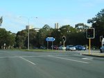
Intersection Directional Sign:
ID sign at Kings Park at the corner of Thomas Rd (SR61), Winthrop Av (SR61) and Aberdare Rd, July 2009.
Image © Paul Rands
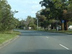
Trailblazer:
SR61 trailblazer on Winthrop Av after the Abderdare Rd junction, July 2009.
Image © Paul Rands
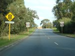
Approaching Monash Avenue:
Winthrop Av at Kings Park approaching Monash Avenue, July 2009.
Image © Paul Rands
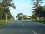
Monash Avenue:
Corner of Winthrop Av (SR61) and Monash Av at Kings Park, July 2009.
Image © Paul Rands
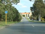
Trailblazer:
SR61 trailblazer on Winthrop Av after the Monash Av junction, July 2009.
Image © Paul Rands
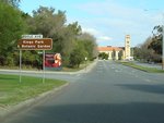
Poole Avenue:
Corner of Winthrop Av (SR61) and Poole Av at Kings Park, July 2009.
Image © Paul Rands
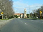
Approaching Mounts Bay Road & Stirling Highway:
Winthrop Av (SR61) at Crawley as it approaches Mounts Bay Rd (SR5) and Stirling Hwy (SR5), July 2009.
Image © Paul Rands
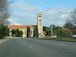
End State Route 61:
Trailblazer marking the end of SR61 as Winthrop Av approaches Mounts Bay Rd and Stirling Hwy at Crawley, July 2009.
Image © Paul Rands
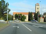
Mounts Bay Road & Stirling Highway:
Winthrop Av (SR61) at Crawley at the junction with Mounts Bay Rd (SR5) and Stirling Hwy (SR5), July 2009.
Image © Paul Rands
1 WA Government, Ministerial Media Statements, City projects get budget boost, 6 May 1999.


