Statistics:
- Length:
- 17 km
- Termini:
- Northern: Gnangara Rd (SR83) and Alexander Dr (unnumbered), Landsdale
- Southern: Newcastle St (unnumbered), Perth
- Suburbs, Towns & Localities Along Route:
- Perth, West Perth, North Perth, Menora, Mount Lawley, Inglewood, Yokine, Dianella, Mirrabooka, Koondoola, Alexander Heights, Cullacabardee and Landsdale
Route Numbering:
- Current: 56
- XX
General Information:
State Route 56 connects the Perth CBD with the northern suburbs. It is mostly dual carriageway and services residential, commercial and industrial zones.
History:
- 1970s: The north-south portion from Marangaroo Drive to Widgee Road converted to dual carriageway.
- March 1979: The segment of SR56 between Marangaroo Drive to Widgee Road used to be called Uganda Road until the name was officially changed to bring it in line with the rest of Alexander Dr. 1
- February 2006: Construction works for the provision of a 2.9 km long second carriageway on Alexander Drive from Landsdale Road to Gnangara Road. The works involved intersection upgrades at Landsdale Road, Kingsway and Queensway. 2
- June 2007: Installation of traffic signals at the intersection of Gnangara Road and Alexander Drive near Landsdale. 3
- 2024: State Route 56 extended from Bulwer St (SR72) to Roe St (unnumbered). 4
Click or tap here for the former alignment between Perth to Landsdale

Approaching Scarborough Beach Road & Angove Street:
Warning sign on Fitzgerald Street for the signalised junction with Scarborough Beach Road (unnumbered section) and Angove Street in North Perth. February 2009.
Image © Paul Rands

Approaching Walcott Street & Alexander Drive:
Warning sign on Fitzgerald St, North Perth approaching the signalised intersection with Walcott St(SR75) and Alexander Dr (SR56). February 2009.
Image © Paul Rands
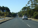
Trailblazer:
SR56 trailblazer at Alexander Heights, April 2009.
Image © Paul Rands
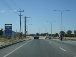
Approaching Kingsway:
Alexander Dr (SR56) approaching Kingsway and Park St at Landsdale, April 2009.
Image © Paul Rands
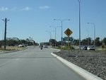
Approaching Gnangara Road:
Alexander Drive (SR56) approaching the intersection with Gnangara Drive (SR83) and the unnumbered section of Alexander Drive at Landsdale, April 2009.
Image © Paul Rands
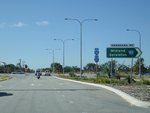
End SR56:
End of State Route 56 at the junction with Gnangara Rd (SR83), Landsdale, April 2009.
Image © Paul Rands
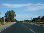
Landsdale Area:
Southbound after the Gnangara Rd (SR83) intersection, April 2009.
Image © Paul Rands
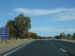
Approaching Kingsway & Park Street:
Alexander Dr (SR56) at Landsdale approaching Kingsway and Park St, April 2009.
Image © Paul Rands
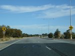
Approaching Kingsway & Park Street:
Alexander Dr (SR56) at Landsdale approaching Kingsway and Park St, April 2009.
Image © Paul Rands
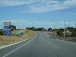
Landsdale Road:
Corner of Alexander Dr (SR56) and Landsdale Rd at Landsdale, April 2009.
Image © Paul Rands
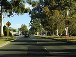
Approaching Illawarra Crescent:
Alexander Dr (SR56) approaching Illawarra Cr at Ballajura, April 2009.
Image © Paul Rands
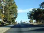
Approaching Marangaroo Road:
Alexander Dr (SR56) approaching Marangaroo Rd (SR81 and unnumbered) at Ballajura, April 2009.
Image © Paul Rands
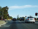
Marangaroo Drive:
Corner of Alexander Dr (SR56) and Marangaroo Rd (SR81 and unnumbered) at Ballajura, April 2009.
Image © Paul Rands
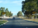
Approaching Illawarra Crescent:
Alexander Dr (SR56) approaching Illawarra Cr at Ballajura, April 2009.
Image © Paul Rands
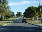
Approaching Beach Road:
Alexander Dr (SR56) approaching Beach Rd at Malaga, April 2009.
Image © Paul Rands
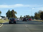
Beach Road:
Alexander Dr (SR56) at the junction with Beach Rd at Malaga, April 2009.
Image © Paul Rands
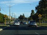
Approaching Victoria Road:
Corner of Alexander Dr (SR56) and Victoria Rd at Malaga, April 2009.
Image © Paul Rands
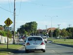
Approaching Widgee Road & Hellenic Drive:
Alexander Dr (SR56) at Noranda approaching Widgee Rd and Hellenic Dr, April 2009.
Image © Paul Rands
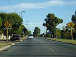
Approaching Yirrigan Drive:
Alexander Dr (SR56) at Dianella approaching Yirrigan Dr, April 2009.
Image © Paul Rands
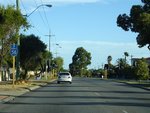
Yirrigan Drive Intersection:
Corner of Alexander Dr (SR56) and Yirrigan Dr at Dianella, April 2009.
Image © Paul Rands
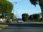
Trailblazer:
SR56 trailblazer at Dianella, after Yirrigan Dr, April 2009.
Image © Paul Rands
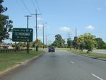
Advance Directional Sign:
Southbound approaching the intersection with Morley Drive (SR76) at Dianella. February 2008.
Image © Paul Rands
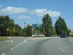
Morley Drive Intersection:
Southbound through the intersection with Morley Drive in Dianella. February 2008.
Image © Paul Rands
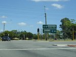
Morley Drive Intersection:
Southbound through the intersection with Morley Drive in Dianella. February 2008.
Image © Paul Rands
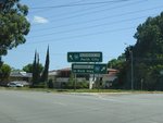
Grand Promenade Intersection:
Southbound intersection directional sign on the corner of Alexander Dr and Grand Prom (SR55) at Dianella, February 2008.
Image © Paul Rands
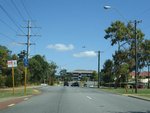
Menora:
Southbound as you pass through the suburb of Menora, near Central Av. February 2008.
Image © Paul Rands
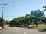
Lane Allocation Sign:
Southbound signage approaching the intersection with Walcott St (SR75) at Menora, February 2008.
Image © Paul Rands
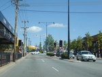
North Perth:
Looking southwest in the shopping precinct in North Perth near Forrest Street, February 2008.
Image © Paul Rands
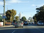
North Perth:
SR56 trailblazer on Fitzgerald St near Chelmsford St in North Perth, April 2009.
Image © Paul Rands
1 WA Government, Western Australia Government Gazette.
2 City of Wanneroo.
3 WA Government, Main Roads Western Australia.
4 WA Government, Main Roads Western Australia, Western Australian State Routes 2024.


