Statistics:
- Length:
- 22 km
- Termini:
- Eastern: South Western Hwy (SR20), Darling Downs
- Western: Rockingham Road (NR1), Kwinana Beach
- Suburbs, Towns & Localities Along Route:
- Kwinana Beach, Medina, Postans, Orelia, The Spectacles, Bertram, Anketell, Casuarina, Oakford, Byford and Darling Downs
Route Numbering:
- Current: 21
- Road Authority Internal Classification: 1
- H038
General Information:
The route connects Kwinana area, Tonkin Highway and Kwinana Freeway with both major north-south routes in Perth's southern suburbs, namely Rockingham Road and South Western Highway.
The route is divided multi-lane between Rockingham Rd and the Kwinana Fwy, and single lane each way rural highway between the Kwinana Fwy and South Western Hwy. Thomas Road passes through residential suburbs, but also rural farmlands. Thomas Road was the terminus of the Kwinana Freeway from 1993 until 2002.
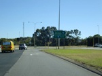
Rockingham Road Intersection:
Northbound on Rockingham Road (NR1) at Kwinana Beach at the junction with Thomas Rd (SR21). November 2008.
Image © Paul Rands
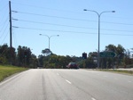
Gilmore Avenue Intersection:
Approaching Gilmore Av in Medina. November 2008.
Image © Paul Rands
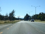
Colchester Avenue Intersection:
Thomas Rd approaching Colchester Av in Orelia. November 2008.
Image © Paul Rands
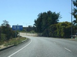
Advance Directional Sign:
AD sign approaching Kwinana railway station at The Spectacles. November 2008.
Image © Paul Rands
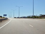
Kwinana Railway Station Junction:
Thomas Road and the entrance to Kwinana railway station at The Spectacles. November 2008.
Image © Paul Rands
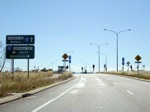
Advance Directional Sign:
AD sign approaching the interchange with the Kwinana Fwy (SR2) at The Spectacles. November 2008.
Image © Paul Rands
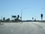
Kwinana Fwy Interchange:
Looking eastbound at the Kwinana Freeway interchange at The Spectacles, with the northbound ramp on the left of shot. November 2008.
Image © Paul Rands
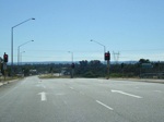
Kwinana Freeway Interchange:
Looking eastbound at the Kwinana Fwy interchange at Anketell, with the southbound ramp on the right of shot. November 2008.
Image © Paul Rands
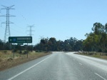
Advance Directional Sign:
AD sign approaching the intersection with Nicholson Road (SR31) at Oakford. November 2008.
Image © Paul Rands
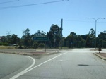
Nicholson Road Intersection:
The corner of Thomas Rd (SR21) and Nicholson Rd (SR31) at Oakford. November 2008.
Image © Paul Rands
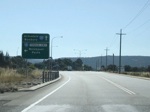
Advance Directional Sign:
AD sign approaching Tonkin Hwy (SR4) at Oakford. November 2008.
Image © Paul Rands
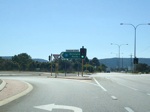
Tonkin Highway Intersection:
Corner of Thomas Rd and Tonkin Hwy at Oakford. November 2008.
Image © Paul Rands
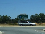
Intersection Directional Sign:
ID sign facing traffic at the Tonkin Hwy (SR4) terminus at Darling Downs. December 2007.
Image © Paul Rands
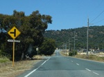
Approaching Wungong Rd Sth:
Eastbound at Darling Downs, December 2007.
Image © Paul Rands
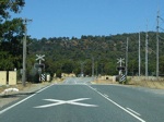
Level Crossing:
Eastbound as you cross the Perth-Bunbury railway line at Darling Downs. December 2007.
Image © Paul Rands
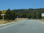
Approaching South Western Hwy:
Approaching the eastern terminus of SR21 at Darling Downs, December 2007.
Image © Paul Rands
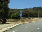
End SR21:
Trailblazer assembly showing the end of state route 21 where it meets the South Western Hwy (SR20) at Darling Downs, December 2007.
Image © Paul Rands
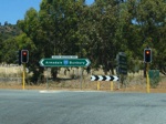
Eastern Terminus:
Thomas Rd (SR21) at the junction with South Western Hwy (SR20) at Darling Downs. December 2007.
Image © Paul Rands
1 WA Government, Main Roads Western Australia, Road Information Mapping System.


