Statistics:
- Length:
- 6 km
- Termini:
- Northern: Kwinana Fwy (SR2) and Lymon Road (unnumbered), Lakelands
- Southern: Mandurah Rd (NR1) and Kirkpatrick Dr (unnumbered), Greenfields
- Suburbs, Towns & Localities Along Route:
- Greenfields, Meadow Springs, Parklands and Lakelands
Route Numbering:
- Current: 19
- Road Authority Internal Classification: 1
- M074
General Information:
Also known as Mandurah Entrance Road, State Route 19 is a dual carriageway limited access road linking the Kwinana Freeway (SR2) with the city centre of Mandurah, south of Perth. A section of the route features the railway line linking Mandurah with Perth down the median strip.
Mandjoogoordap was the original Noongar name for Mandurah and means 'meeting place of the heart'. 2
History:
- September 2009: Construction commenced on Mandurah Entrance Road project. 3
- 7 October 2010: Mandjoogoordap Drive opened to traffic, 3 months ahead of schedule. 3
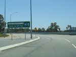
Intersection Directional Sign:
ID sign at the Mandjoogoordap Rotary with Mandurah Rd (NR1) at Greenfields, December 2012.
Image © Paul Rands
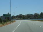
Reassurance Directional Sign:
Distance sign at Greenfields, December 2012.
Image © Paul Rands

Supplementary Advance Directional Sign:
Supplementary AD sign at Lakelands approaching the Kwinana Fwy (SR2) and Lymon Rd interchange, December 2012.
Image © Paul Rands

Advance Directional Sign:
AD sign at Lakelands approaching the Kwinana Fwy (SR2) and Lymon Rd interchange, December 2012.
Image © Paul Rands

Intersection Directional Sign:
ID sign at the Kwinana Fwy (SR2) and Lymon Rd interchange at Lakelands, December 2012.
Image © Paul Rands
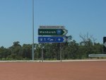
Intersection Directional Sign:
ID sign facing southbound traffic as they exit from Kwinana Fwy (SR2) at the interchange with Kwinana Fwy (SR2) and Lymon Rd in Lakelands, December 2012.
Image © Paul Rands
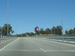
Public Art:
Public art on the interchange with Kwinana Fwy (SR2) at Lakelands, December 2012.
Image © Paul Rands
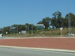
Intersection Directional Sign:
ID sign on the interchange with Kwinana Fwy (SR2) at Lakelands, December 2012.
Image © Paul Rands
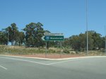
Intersection Directional Sign:
ID sign on the interchange with Kwinana Fwy (SR2) at Lakelands, December 2012.
Image © Paul Rands
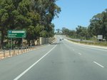
Distance Sign:
Reassurance directional sign at Lakelands, December 2012.
Image © Paul Rands
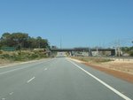
Gordon Road:
Mandjoogoordap Dr (SR19) as it passes under Gordon Rd at Parklands, December 2012.
Image © Paul Rands
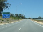
Advance Directional Sign:
AD sign approaching Dubarda Link at Greenfields, December 2012.
Image © Paul Rands
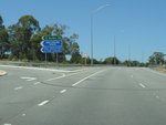
Dubarda Link:
Corner of Mandjoogoordap Dr (SR19) and Dubarda Link at Greenfields, December 2012.
Image © Paul Rands
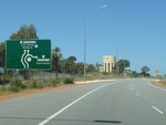
Advance Directional Sign:
AD sign approaching Mandurah Rd (NR1) and Kirkpatrick Dr (unnumbered) at Greenfields, December 2012.
Image © Paul Rands
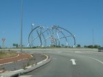
Public Art:
Public artwork on the Mandjoogoordap Rotary, at the junction with Mandurah Rd (NR1) and Kirkpatrick Dr (unnumbered) at Greenfields, December 2012.
Image © Paul Rands
1 WA Government, Main Roads Western Australia, Road Information Mapping System.
2 City of Mandurah, Media Release, New Entrance Road Name Recognises Aboriginal Heritage, 25 January 2010.
3 WA Government, Main Roads Western Australia, Completed Projects, Mandurah Entrance Road.


