Statistics:
- Length:
- 20 km
- Termini:
- Eastern: Kwinana Fwy (SR2) and Folly Rd (unnumbered), Baldivis
- Western: Corner of Patterson Rd (NR1) and Ennis Av (NR1), Rockingham
- Suburbs, Towns & Localities Along Route:
- Rockingham, Peron, Shoalwater, Safety Bay, Waikiki, Warnbro and Baldivis
Route Numbering:
- Current: 18
- Multiplexed with: 202
General Information:
SR18 is connector from Rockingham to the newly developing suburb of Balvidis, both on the south of Perth. The route passes through industrial, commercial and residential areas and a small strip of semi-rural properties near the Mandurah Road area at Waikiki. The route was used the main route from the end of the Kwinana Fwy (SR2) linking it to Ennis Av (NR1), before the freeway was extended further south and opening to traffic in mid-2009.
The route is entirely general suburban arterial road and is mostly 2 lanes each way for a substantial distance.
Multiplexes along the route include:
- Tourist Drive 202, for 6 km, between Safety Bay and Warnbro.
History:
- 1999-2001: Upgrade of the seven kilometre section of Safety Bay Road between NR1 and SR2 to a dual carriageway and the connection to the Kwinana Fwy extension from Thomas Rd. 1
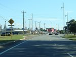
Approaching Read Street & Flinders Lane:
Paterson Rd (SR18) approaching Read St and Flinders Ln in Rockingham, June 2009.
Image © Paul Rands
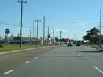
SR18 Trailblazer:
State Route 18 trailblazer approaching Read St and Flinders Ln at Rockingham, June 2009.
Image © Paul Rands
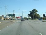
Read Street & Flinders Lane Junction:
Corner of Paterson Rd (SR18), Read St & Flinders Ln at Rockingham, June 2009.
Image © Paul Rands
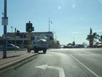
Railway Terrace, Kent Street & Parkin Street Intersection:
Corner of Paterson Rd (SR18), Parkin St (SR18), Kent St and Railway Tce in Rockingham, June 2009.
Image © Paul Rands
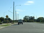
Approaching Safety Bay Road & Hymus Street:
Parkin St (SR18) as it approaches Safety Bay Rd (SR18) and Hymus St, June 2009.
Image © Paul Rands
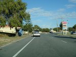
Shoalwater Area:
Safety Bay Road (SR18) near Coventry Road and Shoalwater Shopping Centre at Shoalwater, June 2009.
Image © Paul Rands
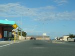
Approaching Arcadia Drive:
Safety Bay Rd (SR18) as it approaches Arcadia Dr (TD202) roundabout at Safety Bay, June 2009. SR18 turns left at this junction and the TD202 duplex begins at this location.
Image © Paul Rands
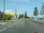
Safety Bay Area:
SR18 as it passes through Safety Bay, June 2009.
Image © Paul Rands
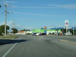
Hokin Street Intersection:
Corner of Saefty Bay Rd (SR18) and Hokin St in Waikiki, June 2009.
Image © Paul Rands
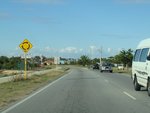
Approaching Warnbro Sound Avenue & Read Street:
Safety Bay Rd (SR18) at Waikiki approaching the roundabout with Warnbro Sound Av and Read St, June 2009.
Image © Paul Rands
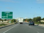
Advance Directional Sign:
AD sign on Safety Bay Rd (SR18) at Waikiki, approaching the Ennis Av (NR1) interchange, June 2009.
Image © Paul Rands
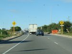
Approaching Ennis Av Interchange:
Safety Bay Rd (SR18) at Waikiki approaching the interchange with Ennis Av (NR1), June 2009.
Image © Paul Rands
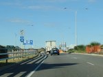
Trailblazer Assembly:
SR18 / NR1 trailblazer assembly at the Ennis Av (NR1) interchange at Waikiki, June 2009.
Image © Paul Rands
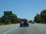
Advance Directional Sign:
Northbound at Warnbro on Ennis Av (NR1) approaching the Safety Bay Rd (SR18) interchange. December 2007.
Image © Paul Rands
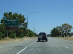
Intersection Directional Sign:
ID signage at the exit from Ennis Av to Safety Bay Rd in Warnbro. December 2007.
Image © Paul Rands
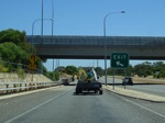
Ennis Av / Safety Bay Rd Interchange:
Northbound through the interchange for Ennis Av and Safety Bay Rd, taken from the cloverleaf exit to Safety Bay Road. December 2007.
Image © Paul Rands

ID Sign:
Intersection directional sign on the Safety Bay Rd interchange at Waikiki, December 2007.
Image © Paul Rands
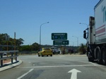
Ennis Av / Safety Bay Rd Interchange:
Still on the interchange with NR1, as we cross the southbound ramps at Waikiki, December 2007.
Image © Paul Rands
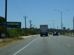
Distance Sign:
Eastbound at Waikiki. December 2007.
Image © Paul Rands
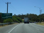
Advance Directional Sign:
AD sign approaching Mandurah Rd at Waikiki, December 2007.
Image © Paul Rands
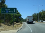
ID Sign:
Intersection directional sign as you exit, eastbound, from the Mandurah Rd roundabout at Baldivis, December 2007.
Image © Paul Rands
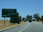
AD Sign:
Advance directional sign approaching Nairn Road at Baldivis, eastbound, December 2007.
Image © Paul Rands
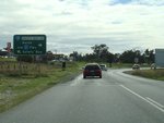
Advance Directional Sign:
AD sign on Baldivis Rd at Baldivis, approaching the Safety Bay Rd (SR18) roundabout, June 2009.
Image © Paul Rands
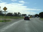
Approaching Safety Bay Road:
Baldivis Rd approaching Safety Bay Rd (SR18) at Baldivis, June 2009.
Image © Paul Rands
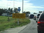
Trailblazer:
SR18 trailblazer on Baldivis Rd approaching Safety Bay Rd (SR18) at Baldivis, June 2009.
Image © Paul Rands
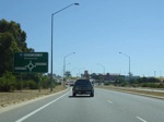
Advance Directional Sign:
AD sign approaching Baldivis Road, westbound in Baldivis. December 2007.
Image © Paul Rands
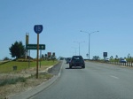
Reassurance Marker:
Trailblazer on the westbound exit on the Safety Bay Rd / Baldivis Rd roundabout at Baldivis. December 2007.
Image © Paul Rands
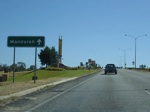
ID Sign:
Westbound intersection directional sign on the Baldivis Rd roundabout at Baldivis. December 2007.
Image © Paul Rands
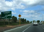
AD Sign:
Advance directional sign approaching Nairn Road at Baldivis, westbound, January 2009.
Image © Tim Cole
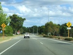
Approaching Eighty Road:
Approaching the staggered junction with Eighty Road in Baldivis, January 2009.
Image © Tim Cole
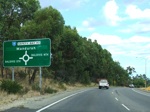
Advance Directional Sign:
AD sign approaching Mandurah Rd at Baldivis, January 2009.
Image © Tim Cole
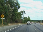
Roundabout Lane Warning Sign:
Approaching Mandurah Rd at Baldivis, January 2009.
Image © Tim Cole
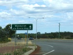
Intersection Directional Sign:
ID sign as you exit via the western leg of the roundabout with Mandurah Rd in Warnbro, January 2009.
Image © Tim Cole
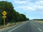
Long Neck Turtle Warning Sign:
Warning sign for long neck turtles as you pass Lake Walyungup at Warnbro, January 2009.
Image © Tim Cole
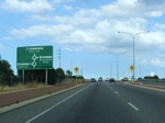
Advance Directional Sign:
AD sign approaching the interchange with Ennis Avenue (NR1) at Warnbro, January 2009.
Image © Tim Cole
1 Australian Institute of Project Management


