Statistics:
- Length:
- 21 km
- Termini:
- Northern: Stirling Hwy (SR5) and Jackson St (unnumbered), North Fremantle
- Southern: Rockingham Rd (NR1), Naval Base
- Suburbs, Towns & Localities Along Route:
- Naval Base, Henderson, Munster, Spearwood, Coogee, North Coogee, Hamilton, Beaconsfield, South Fremantle, Fremantle and North Fremantle
Route Numbering:
- Current: 12
- Road Authority Internal Classification: 1
- H025 (Henderson to South Fremantle)
- H031 (Fremantle to North Fremantle)
General Information:
State Route 12 is generally a north-south route running through the western suburbs of the greater Perth metropolitan area. It's a mix of 2-lane and 4-lane road, both divided and undivided. It passes though residential, commercial and industrial areas.
History:
- 1968: Ord Street was cut through Fremantle Park. 2
- November 1999: Realignment of Cockburn Road near Russell Road at Henderson commences. 3
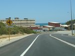
Approaching Old Cockburn Road:
Cockburn Rd (SR12) approaching Old Cockburn Rd at North Coogee, December 2012.
Image © Paul Rands

Approching McTaggart Cove:
Cockburn Rd (SR12) approaching McTaggart Rd at North Coogee, December 2012.
Image © Paul Rands

McTaggart Cove:
Corner of Cockburn Rd (SR12) and McTaggart Cove at North Coogee, December 2012.
Image © Paul Rands
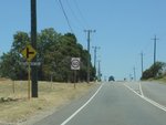
Approaching Emplacement Crescent:
Cockburn Rd (SR12) approaching Emplacement Cr at North Coogee, December 2012.
Image © Paul Rands
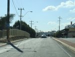
Trailblazer:
SR14 trailblazer on Cockburn Rd approaching Rockingham Rd at South Fremantle, June 2009. This has since been removed because Rockingham Rd is no longer part of SR14.
Image © Paul Rands
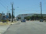
Trailblazer:
Trailblazer assembly on Hampton Rd (SR12) approaching Clontarf Rd, South Fremantle December 2012.
Image © Paul Rands
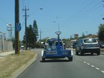
Trailblazer:
SR12 trailblazer at South Fremantle, December 2012.
Image © Paul Rands
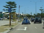
Trailblazer:
SR12 trailblazer on Hampton Rd approaching Douro Rd in South Fremantle, December 2012.
Image © Paul Rands
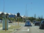
Douro Road:
Corner of Hampton Rd (SR12) and Douro Rd, Sth Fremantle, December 2012.
Image © Paul Rands
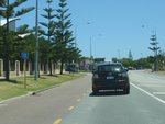
Trailblazer:
SR12 trailblazer at South Fremantle, after Douro Rd, December 2012.
Image © Paul Rands
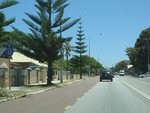
Trailblazer:
SR12 trailblazer at South Fremantle, December 2012.
Image © Paul Rands
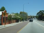
Approaching South Street:
Hampton Rd (SR12) approaching South St (SR13) at South Fremantle, December 2012.
Image © Paul Rands
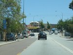
Trailblazer Assembly:
Trailblazer assembly approaching South St (SR13) at South Fremantle, December 2012.
Image © Paul Rands
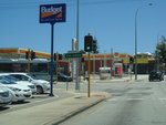
South Street:
Corner of Hampton Rd (SR12) and South St (SR13) at South Fremantle, December 2012.
Image © Paul Rands
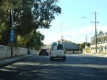
Trailblazer Assembly:
Trailblazer assembly on Hampton Rd (SR12) approaching High St (SR7) at Fremantle, June 2009.
Image © Paul Rands

Advance Directional Sign:
AD sign at Fremantle approaching Queen Victoria St and James St, December 2012.
Image © Paul Rands

Queen Victoria Street:
Corner of James St (SR12 and unnumbered) and Queen Victoria St (SR12 and unnumbered) at Fremantle, December 2012. SR12 turns right at this junction.
Image © Paul Rands

Queen Victoria Street:
Corner of James St (SR12 and unnumbered) and Queen Victoria St (SR12 and unnumbered) at Fremantle, December 2012. SR12 turns right at this junction.
Image © Paul Rands
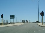
Advance Directional Sign:
Badly laid out AD sign approaching Canning Hwy (SR6) at Fremantle, December 2012.
Image © Paul Rands
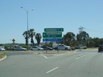
Canning Highway:
Corner of Queen Victoria St (SR12) and Canning Hwy (SR6) in Fremantle, December 2012.
Image © Paul Rands
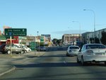
Advance Directional Sign:
AD sign on Queen Victoria St in Fremantle approaching James St, June 2009. SR12 turns left here.
Image © Paul Rands
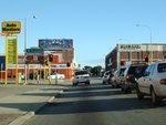
James Street Intersection:
Corner of Queen Victoria St and James St in Fremantle, June 2009.
Image © Paul Rands
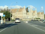
Trailblazer:
SR12 trailblazer on James Street in Fremantle, after the Queen Victoria Street intersection, June 2009.
Image © Paul Rands
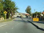
Approaching High Street:
Ord St approaching High St (SR7) at Fremantle, June 2009.
Image © Paul Rands
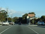
Advance Directional Sign:
Tourist orientated AD sign on Ord St (SR12) approaching Fothergill St, June 2009.
Image © Paul Rands
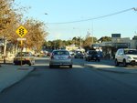
Approaching South Street:
Hampton Rd (SR12) approaching South St (SR13) in Fremantle, June 2009.
Image © Paul Rands
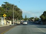
Approaching Lefroy Road:
Hampton Rd (SR12) approaching Lefroy Rd in Beaconsfield, June 2009.
Image © Paul Rands
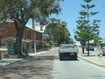
Trailblazer:
SR12 traliblazer near the Lefroy Rd junction in Beaconsfield, December 2012.
Image © Paul Rands
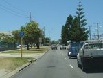
Trailblazer:
State Route 12 trailblazer at Beaconsfield, after the junction with Lefroy Rd, December 2012.
Image © Paul Rands
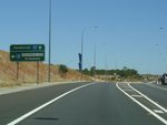
Advance Directional Sign:
AD sign at Spearwood approaching Spearwood Av (SR14), December 2012.
Image © Paul Rands
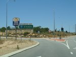
Spearwood Avenue:
Intersection directional sign at the junction with Spearwood Av (SR14) in Spearwood, December 2012.
Image © Paul Rands
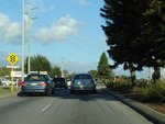
Approaching Clontarf Road:
Hampton Rd at Beaconsfield approaching Clontarf Rd, June 2009.
Image © Paul Rands
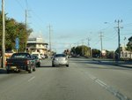
Approaching Rockingham Road & Cockburn Road:
Hampton Rd (SR12) at Hamilton approaching Rockingham Rd and Cockburn Rd (SR12), June 2009. This trailblazer is no longer in place as Rockingham Rd is no longer part of SR14.
Image © Paul Rands
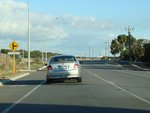
Approaching Old Cockburn Road:
Cockburn Rd (SR12) approaching Old Cockburn Rd in North Coogee, June 2009.
Image © Paul Rands
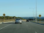
Approaching Orsino Boulevard:
Cockburn Rd at North Coogee approaching Orsino Blvd, June 2009.
Image © Paul Rands
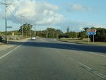
Nyyerbup Circuit Intersection:
Corner of Cockburn Rd (SR12) and Nyyerbup Cct at Coogee, June 2009.
Image © Paul Rands
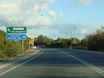
Advance Directional Sign:
AD sign at Munster approaching the corner of Russell Rd, June 2009. SR12 continues by turning right at the junction.
Image © Paul Rands
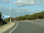
Intersection Directional Sign:
ID sign near Russell Road and Cockburn Road (SR12) intersection in Munster, June 2009.
Image © Paul Rands
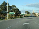
Russell Road Intersection:
Intersection directional sign assembly at the junction with Russel Rd in Munster, June 2009. SR12 turns right and continues along Cockburn Rd.
Image © Paul Rands
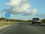
Gemma Road Intersection:
Corner of Cockburn Rd (SR12) and Gemma Rd in Henderson, June 2009.
Image © Paul Rands
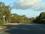
Trailblazer:
SR 12 trailblazer at Naval Base, after the Hogg Rd intersection, June 2009.
Image © Paul Rands
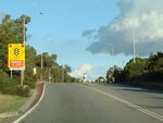
Flashing Warning Sign:
Flashing warning sign approaching the signalised junction with Hogg Road in the suburb of Naval Base, June 2009.
Image © Paul Rands
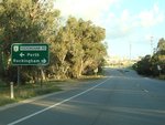
Advance Directional Sign:
AD sign on Cockburn Rd (SR12) approaching Rockingham Rd (NR1) at Naval Base, June 2009.
Image © Paul Rands
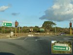
Rockingham Road Intersection:
Corner of Cockburn Rd (SR12) and Rockingham Rd (NR1) at Naval Base, June 2009. This is the southern terminus of SR12.
Image © Paul Rands
1 WA Government, Main Roads Western Australia, Road Information Mapping System.
2 City of Fremantle, John Curtin College Of The Arts Policy.
WA Government, Ministerial Media Statements, $4.5 million awarded for realignment of a section of Cockburn Road at Henderson, 15 November 1999.


