Road Photos & Information: Western Australia
Albany Highway (Alternative State Route 30)
Statistics:
- Length:
- 3 km
- Termini:
- Northern: Kenwick Link (SR30), Albany Hwy (SR30) and William St (unnumbered), Beckenham
- Southern: Kenwick Link (SR30), Albany Hwy (SR30) and Austin Av (unnumbered), Kenwick
- Suburbs, Towns & Localities Along Route:
- Kenwick and Beckenham
Route Numbering:
- Current: 30
- Former: 30 95
- Road Authority Internal Classification: 1
- H001
General Information:
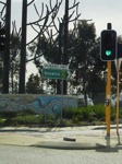
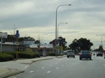
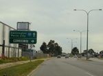
Alternative State Route 30 is the former State Route 30 (and previously National Route 95) routing through the Kenwick area in metropolitan Perth. It consists of a multi-lane carriageway through light industrial and bulky commercial goods areas. The section of road was bypassed by Kenwick Link (now SR30) back in May 1998.
History:
- May 1998: Kenwick Link opened, bypassing the Albany Highway in the Kenwick area. 2
Kenwick to Beckenham
1 WA Government, Main Roads Western Australia, Road Information Mapping System.
2 WA Government, Main Roads Western Australia.
2 WA Government, Main Roads Western Australia.


