|
|
|
|
|
 |
Charles Street, Wanneroo Road, Indian Ocean Drive (State Route 60) - Lancelin to Arrowsmith |
Statistics:
Route Numbering:

General Information:
State Route 60 is a major arterial route from the Perth CBD, through Perth's northern suburbs to the northwest coastal towns and villages north of Perth.
The route is a mix of suburban arterial road, divided multi-laned road and single carriageway roadway and passes through mostly commercial, residential and agricultural lands as well as vast tracts of pine plantations and state forests.
Various conversions to dual carriageway are also taking place, with only small pockets of SR60 between Wanneroo and Carabooda not upgraded.
History:
Indian Ocean Drive:
- 19 September 2010: Stage two of Indian Ocean Drive (Lancelin to Cervantes (56km)) was officially opened. 2
- 2011: Realignment of a 1.3km section north of Leeman. 3
- 2013: Widening of a 9km section between Green Head and Leeman. Also widening of a 5km section between Leeman and Eneabba-Coolimba Road and the construction of a sealed parking bay overlooking the Indian Ocean near Knobby Head. 3
- 2014: Installation of solar powered street lighting at the Indian Ocean Drive / Brand Highway intersection. 3
- November 2015: Widening of a 9.3 kilometre section of Indian Ocean Drive, from the Brand Highway to Cliff Head. 3
| Arrowsmith to Lancelin | Lancelin to Arrowsmith | |||
| Preview: | Description: | Preview: | Description: | |
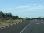 |
Intersection Directional Sign Assembly: ID sign at the junction with Brand Hwy (NR1) at Arrowsmith, December 2012. Image © Paul Rands |
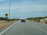 |
Approaching Ocean Place: Indian Ocean Dr (SR60) approaching Ocean Pl, Nilgen, December 2012. Image © Paul Rands |
|
 |
Distance Sign: RD sign after the Brand Hwy (NR1) junction in Arrowsmith, April 2016. Image © Paul Rands |
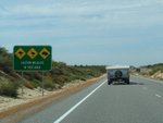 |
Wildlife Sign: Warning sign for wildlife crossing the road, Nilgen, December 2012. Image © Paul Rands |
|
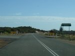 |
Eneabba-Coolimba Road: Corner of Indian Ocean Dr (SR60) and Eneabba-Coolimba Rd at Coolimba, December 2012. Image © Paul Rands |
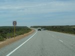 |
Nilgen Area: Indian Ocean Drive as it makes its way through the sand dunes at Nilgen, December 2012. Image © Paul Rands |
|
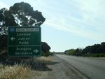 |
Advance Directional Sign: AD sign on Eneabba-Coolimba Rd approaching Indian Ocean Dr (SR60) at Coolimba, December 2012. Image © Paul Rands |
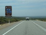 |
Advance Directional Sign: AD sign at Nilgen approaching Nilgen Lookout, December 2012. Image © Paul Rands |
|
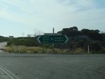 |
Intersection Directional Sign: ID sign at the junction of Eneabba-Coolimba Rd approaching Indian Ocean Dr (SR60) at Coolimba, December 2012. Image © Paul Rands |
 |
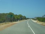
Intersection Directional Sign: ID sign at the entrance to Nilgen Lookout, at Nilgen, December 2012. Image © Paul Rands |
|
 |
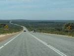
Distance Sign: RD sign at Leeman, January 2011. This sign pre-dates SR60 running along this section of Indian Ocean Dr. Image © Terry Siva |
 |
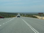
Approaching West Hills Farm: Indian Ocean Dr (SR60) at Mimegarra approaching the West Hills wind farm, December 2012. Image © Paul Rands |
|
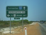 |
AD Sign: Advance directional sign approaching the staggered intersection with Cervantes Rd in Cervantes, January 2011. Image © Terry Siva |
 |
Mimegarra Area: Indian Ocean Drive as it passes through the Mimegarra area, December 2012. Image © Paul Rands |
|
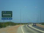 |
AD Sign: Advance directional sign at the staggered intersection with Cervantes Rd in Cervantes, January 2011. Image © Terry Siva |
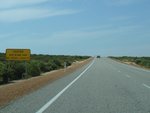 |
Sand Warning Sign: Sign warning of airborne sand at Nambung, December 2012. Image © Paul Rands |
|
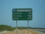 |
Distance Sign: RD sign leaving Cervantes, January 2011. Image © Terry Siva |
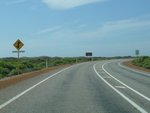 |
Approaching Pinnacles Drive: Indian Ocean Dr (SR60) approaching Pinnacles Dr at Nambung, December 2012. Image © Paul Rands |
|
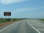 |
Advance Directional Sign: AD sign approaching Pinnacles Dr at Nambung, December 2012. Image © Paul Rands |
|||
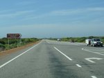 |
Pinnacles Drive: Corner of Indian Ocean Dr (SR60) and Pinnacles Dr in Nambung, December 2012. Image © Paul Rands |
|||
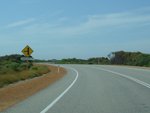 |
Approaching Kangaroo Point: Indian Ocean Dr (SR60) approaching Kangaroo Point at Grey, December 2012. Image © Paul Rands |
|||
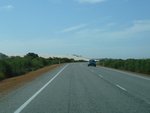 |
Grey: Indian Ocean Dr (SR60) at Grey as it passes through the sand dunes, December 2012. Image © Paul Rands |
|||
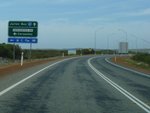 |
Advance Directional Sign: AD sign at Cervantes approaching Cervantes Rd, December 2012. Image © Paul Rands |
|||
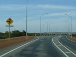 |
Approaching Cervantes Road: Indian Ocean Dr (SR60) approaching Cervantes Rd at Cervantes, December 2012. Image © Paul Rands |
|||
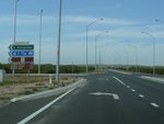 |
Cervantes Road: Corner of Indian Ocean Dr and Cervantes Rd in Cervantes, December 2012. Image © Paul Rands |
|||
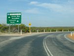 |
Advance Directional Sign: AD sign on Cervantes Rd in Cervantes approaching Indian Ocean Dr (SR60), December 2012. Image © Paul Rands |
|||
 |
Intersection Directional Signs: ID signs facing Cervantes Rd in Cervantes, December 2012. Image © Paul Rands |
|||
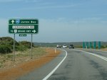 |
Advance Directional Sign: AD sign for the staggered Cervantes Rd junction at Cervantes, December 2012. Image © Paul Rands |
|||
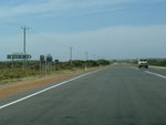 |
Intersection Directional Sign: ID sign at the junction with Cervantes Rd, December 2012. Image © Paul Rands |
|||
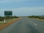 |
Distance Sign: Reassurance directional sign as Indian Ocean Dr (SR60) leaves Cervantes, December 2012. Image © Paul Rands |
|||
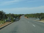 |
Hill River: Indian Ocean Drive as it crosses Hill River at Jurien Bay, December 2012. Image © Paul Rands |
|||
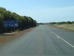 |
Services Sign: Services sign on the outskirts of Jurien Bay, December 2012. Image © Paul Rands |
|||
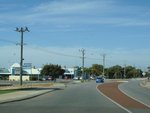 |
Jurien Bay Town Centre: Indian Ocean Dr as it passes through Jurien Bay, December 2012. Image © Paul Rands |
|||
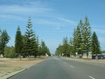 |
Jurien Bay Town Centre: Indian Ocean Dr as it passes through Jurien Bay, December 2012. Image © Paul Rands |
|||
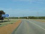 |
Airstrip Road: Corner of Indian Ocean Dr (SR60) and Airstrip Rd in Jurien Bay, December 2012. Image © Paul Rands |
|||
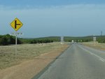 |
Approaching Coalseam Drive: Indian Ocean Dr (SR60) approaching Coalseam Dr in Jurien Bay, December 2012. Image © Paul Rands |
|||
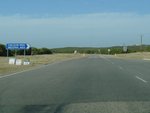 |
Coalseam Drive: Corner of Indian Ocean Dr (SR60) and Coalseam Dr in Jurien Bay, December 2012. Image © Paul Rands |
|||
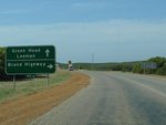 |
Advance Directional Sign: AD sign approaching Jurien Rd, Jurien Bay, December 2012. Image © Paul Rands |
|||
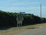 |
Intersection Directional Sign: Fingerboard at the junction with Jurien Rd, Jurien Bay, December 2012. Image © Paul Rands |
|||
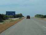 |
Services Sign: Services sign as Indian Ocean Dr enters the town of Green Head, December 2012. Image © Paul Rands |
|||
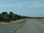 |
Advance Directional Sign: AD sign approaching The Lakes Rd at Green Head, December 2012. Image © Paul Rands |
|||
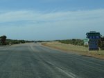 |
Intersection Directional Sign: ID sign assembly at the junction with The Lakes Rd at Green Head, December 2012. Image © Paul Rands |
|||
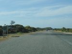 |
Coorow-Green Head Road: Indian Ocean Drive (SR60) at the junction with Coorow-Green Head Road at Green Head, December 2012. Image © Paul Rands |
|||
 |
Intersection Directional Sign: ID sign assembly at the junction with Green Head Rd at Green Head, December 2012. Image © Paul Rands |
|||
 |
Entering Leeman: Indian Ocean Dr (SR60) on the outskirts of Leeman, December 2012. Image © Paul Rands |
|||
 |
Services Sign: Services sign at Leeman, December 2012. Image © Paul Rands |
|||
 |
Leeman Town Centre: Indian Ocean Dr (SR60) as it passes through Leeman, December 2012. Image © Paul Rands |
|||
 |
Approaching Rudduck Street: Indian Ocean Dr (SR60) as it approaches Rudduck St in Leeman, December 2012. Image © Paul Rands |
|||
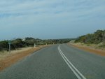 |
Kilometre Plate: Kilometre plate as Indian Ocean Dr (SR80) leaves Leeman, December 2012. Image © Paul Rands |
|||
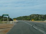 |
Eneabba-Coolimba Road: Corner of Eneabba-Coolimba Rd and Indian Ocean Dr (SR60) at Coolimba, December 2012. Image © Paul Rands |
|||
 |
Distance Sign: RD sign at Coolimba, December 2012. Image © Paul Rands |
|||
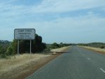 |
Prohibition Sign: Camp fires prohibition sign at Illawong, December 2012. Image © Paul Rands |
|||
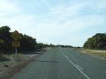 |
3km Winding Road: Warning sign at Illawong, December 2012. Image © Paul Rands |
|||
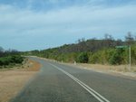 |
Fingerboard: Fingerboard at the Freshwater Point turnoff at Arrowsmith, December 2012. Image © Paul Rands |
|||
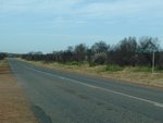 |
Fingerboard: Fingerboard at the Cliff Head North turnoff at Arrowsmith, December 2012. Image © Paul Rands |
|||
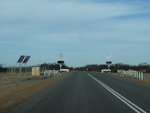 |
Level Crossing: Indian Ocean Dr (SR60) as it crosses the railway line at Arrowsmith, December 2012. Image © Paul Rands |
|||
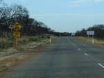 |
Warning Sign: Rumble strip warning sign approaching the Brand Hwy (NR1) junction at Arrowsmith, December 2012. Image © Paul Rands |
|||
 |
Intersection Directional Sign: ID sign facing Indian Ocean Dr (SR60) at Arrowsmith, April 2016. Click here for a photo of this location by Paul Rands December 2012 showing a black ID sign. Image © Paul Rands |
|||
| Click here for the continuation of State Route 60 between Wanneroo and Lancelin | ||||
1 Main
Roads WA Metropolitan Fact Sheet, 31 March 2008
2 Main Roads Western Australia, Completed Projects, Indian Ocean Drive, Lancelin to Cervantes Stage 2
3 Government of Western Australia, Media Statements, Works to improve safety on Indian Ocean Drive, 13 November 2015
Last updated: 18-Jan-2019 22:00
This site © Paul Rands. All rights reserved. Some portions © (copyright) by their respective and credited owners. Permission must be obtained before using any images from this site. For details, please email by clicking here.