Road Photos & Information: Western Australia
Avon Historic Tourist Drive (Tourist Drive 254) (Decommissioned)
Statistics:
- Length:
- 98 km
- Termini:
- Northern: Stirling Tce (unnumbered) and Piesse St (unnumbered), Toodyay
- Southern: Northam-Cranbrook Rd (Great Southern Hwy) (SR120) and Vincent St (unnumbered), Beverley
- Roads that form the route:
- Great Southern Highway, Top Beverley Road, Panmure Road, Balladong Street, Avon Terrace, York Road, Spencers Brook Road, Fitzgerald Street, Taylor Street, Katrine Road, Northam-Toodyay Road and Stirling Terrace
- Suburbs, Towns & Localities Along Route:
- Beverley, Gilgering, Gwambygine, Mount Hardey, Cold Harbour, York, Burges, Wilberforce, Spencers Brook, Muresk, Muluckine, Northam, Irishtown, Katrine, Dumbarton and Toodyay
Route Numbering:
- Current: 254
- Multiplexed with: 115 120
- Road Authority Internal Classification: 1
- M031 (Beverley)
- M032 (Northam)
- M033 (Katrine to Toodyay)
General Information:
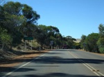
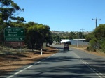
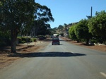
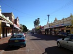
Avon Historic Tourist Drive is a self-drive route that follows the original route between the settlements of Toodyay, Northam, York and Beverley. The route passes through commercial, residential and agricultural zones and generally has one lane in each direction.
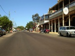
The route passes through the town of York, which was the first inland town in Western Australia, settled in 1831. York is one of the few towns in Western Australia to have a historic town classification. 2
Multiplexes along the route include:
- State Route 115, for 550 m, Northam.
- State Route 120, for 5 km, Beverley, then for 800 m, York, then for 1 km, Northam, and then for 10 km, between Katrine and Toodyay.
Beverley to Toodyay
Toodyay to Beverley
1 WA Government, Main Roads Western Australia, Road Information Mapping System.
2 York Visitor Centre.
2 York Visitor Centre.
