|
|
|
|
|
| M31 | Hume Freeway (M31) - Euroa To Seymour |
Statistics:
Route Numbering:


General Information:
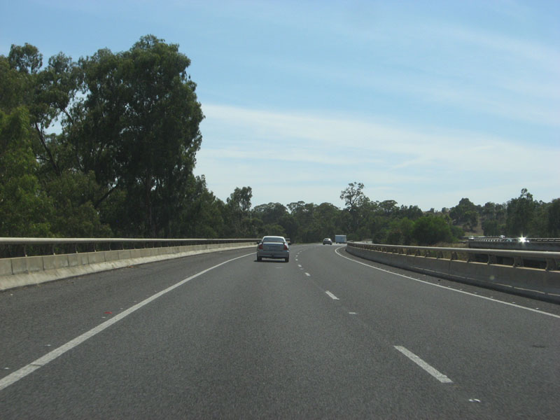
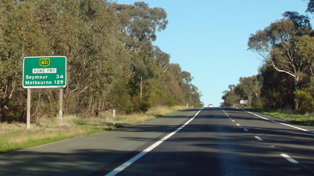
The Hume Freeway is one of Australia's most vital highway links. Providing access between Sydney and Melbourne, Australia's 2 largest cities. Formerly known as the Hume Highway, the route is 100% dual carriageway road, either rural expressway or motorway standard.
The route started life as Sydney Road, cutting through Melbourne's northern suburbs. The highway was named in 1928 after Hamilton Hume (1797-1873), a famous explorer in the early 19th century who, in 1824, in conjunction with William Hovell first found an overland route between Sydney and the infant colonial outpost of Port Phillip, the original name of Melbourne.
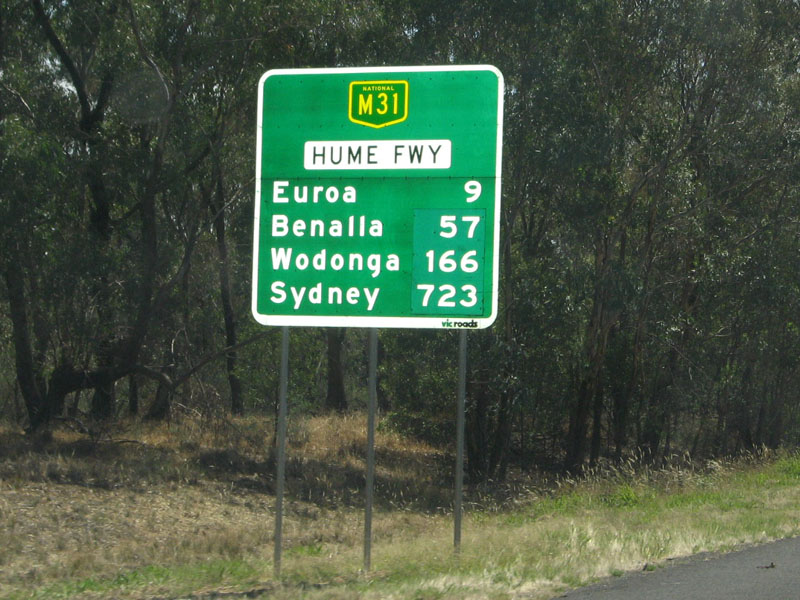
M31 is the main freight and commuter route between Sydney and Melbourne and has gone through a massive amount of transformation over the past 30 or so years, with many towns being bypassed along its route as well and gradual upgrades to motorway standards. Since the 1960s, the road has either been duplicated, where alignments allow for it, and also large deviations have also been part of the upgrade process. Around 66,000 vehicles use the Hume Freeway north of Melbourne every day. 1
The Hume Freeway's highest elevation along its length is 368m and the lowest point is at 90.8m
History:
| Seymour to Euroa | Euroa to Seymour | |||
| Preview: | Description: | Preview: | Description: | |
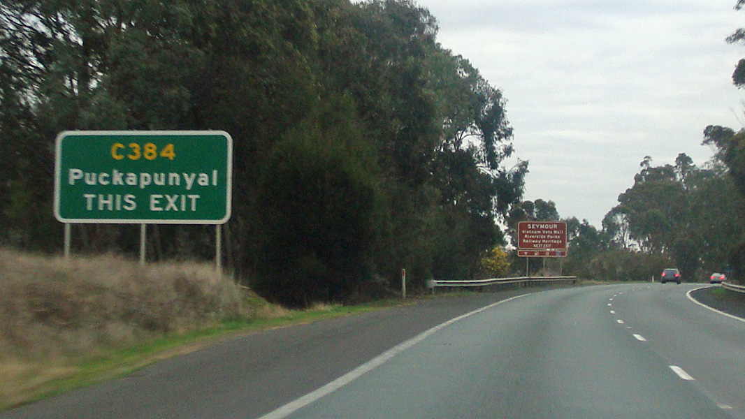 |
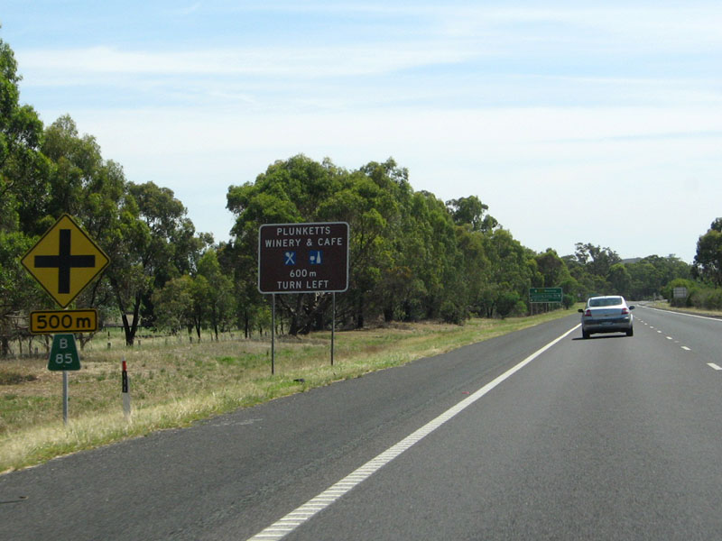
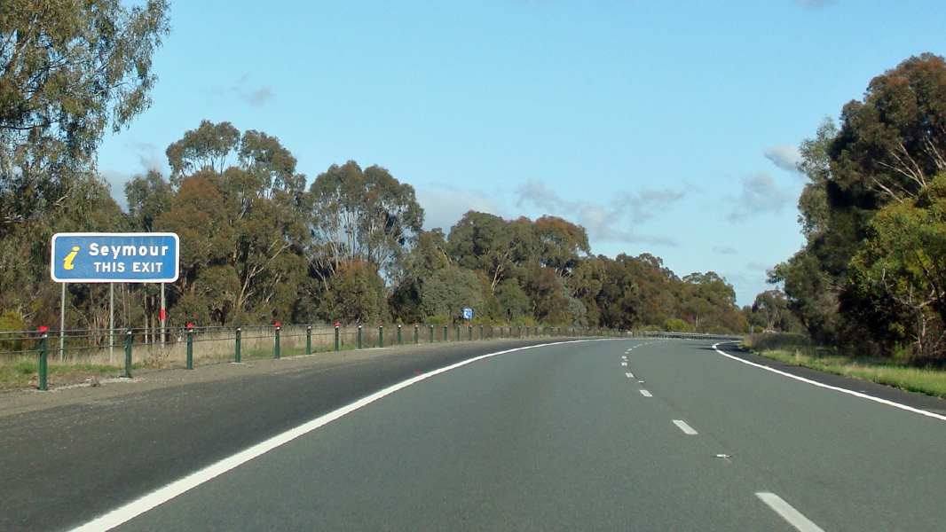
Supplemental Advance Directional Sign: Supplemental AD sign at Seymour approaching Seymour-Tooborac Rd (C384), August 2015. Image © Paul Rands |
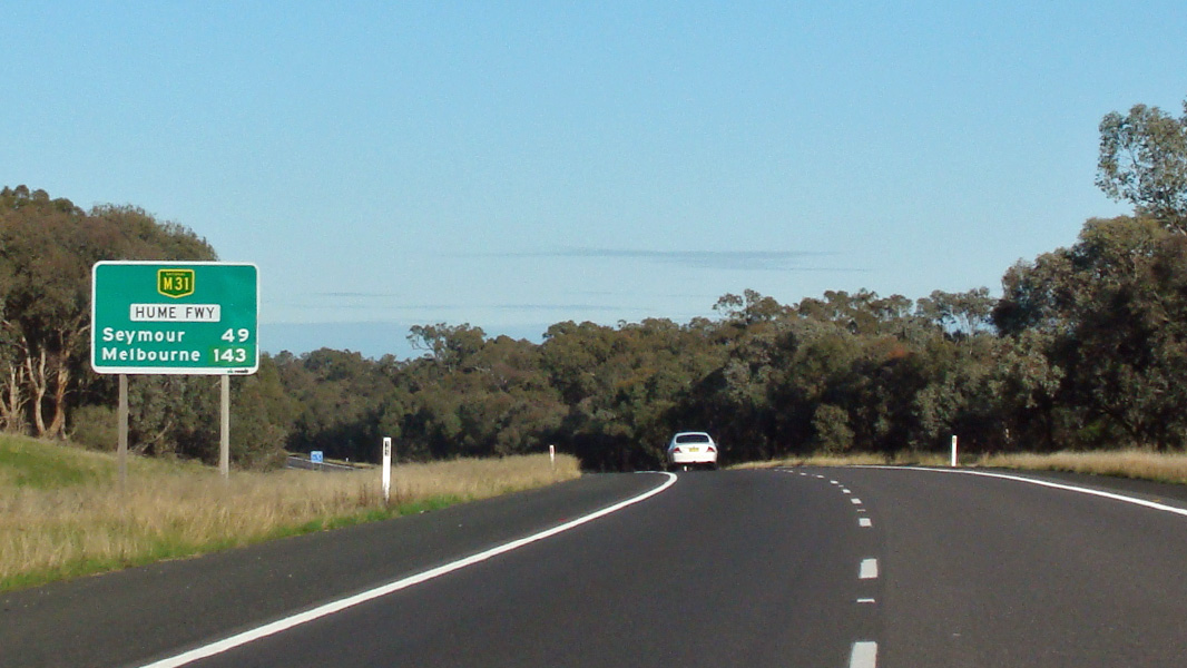 |
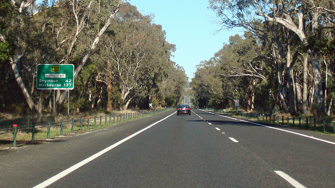
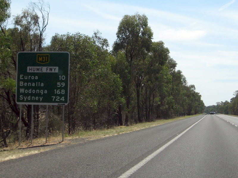
Reassurance Directional Sign: Distance sign at Creightons Creek, August 2015. Image © Paul Rands |
|
 |
Looking Northbound at Seymour Image © Rob Tilley |
 |
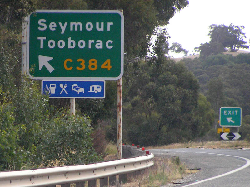
Advance Directional Sign: AD sign at Creightons Creek approaching Creighton Rd, August 2015. Image © Paul Rands |
|
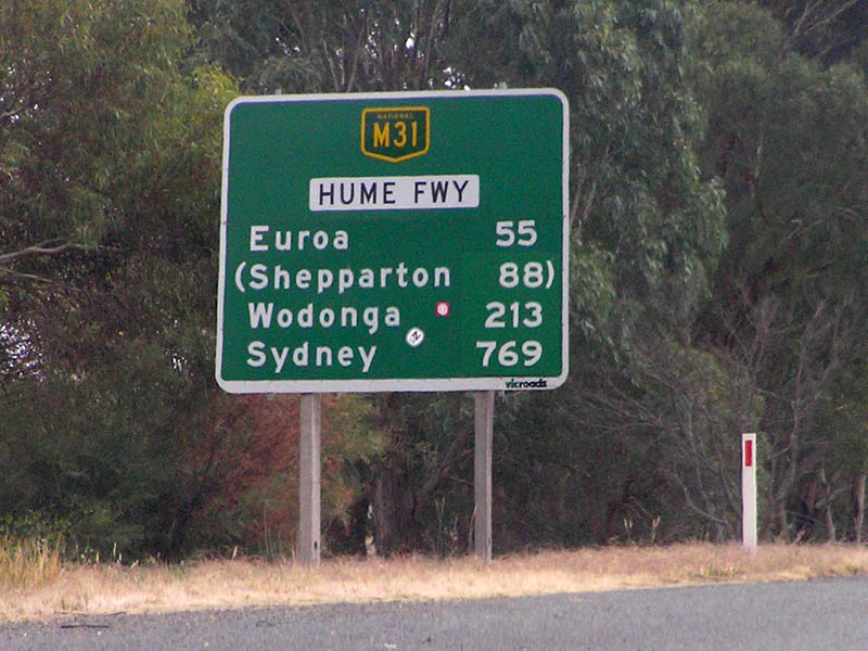 |
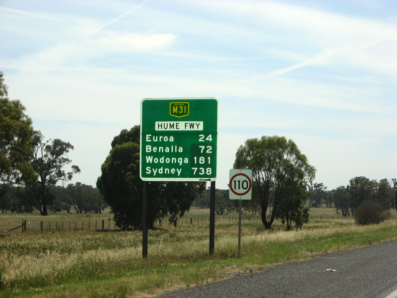
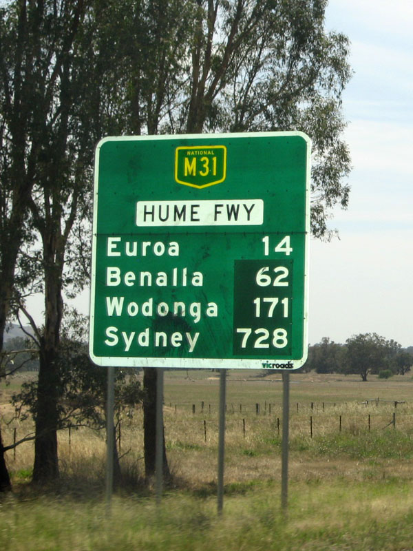
Distance Sign Image © Rob Tilley |
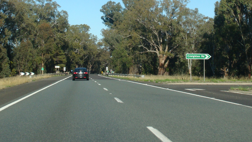 |
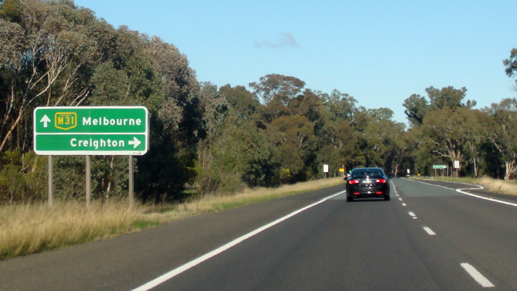
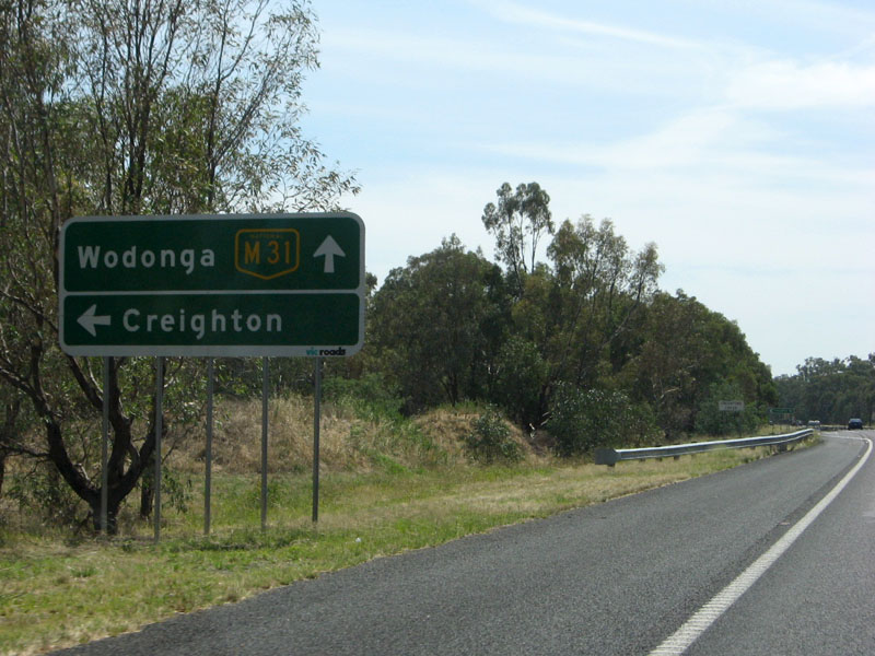
Creighton Road: Hume Fwy (M31) at the junction with Creighton Rd at Creightons Creek, August 2015. Image © Paul Rands |
|
 |
Advance Exit Signage Image © Rob Tilley |
 |
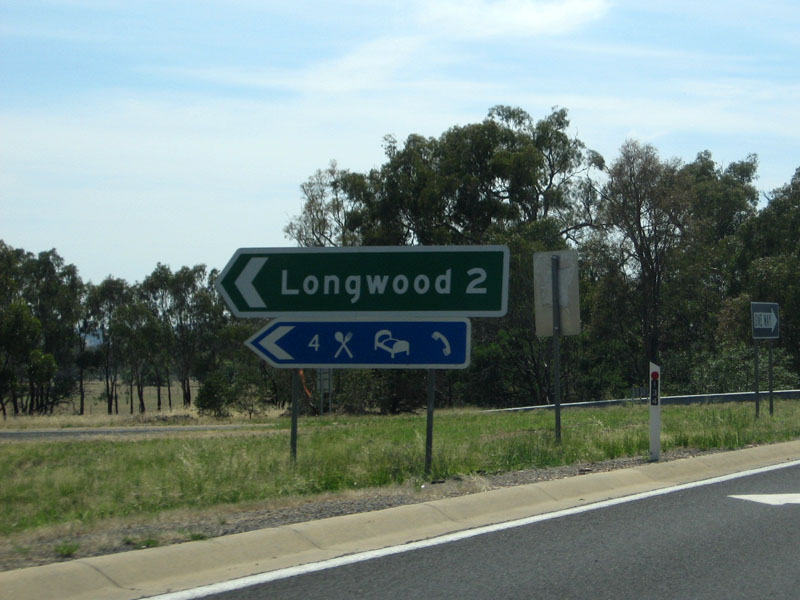
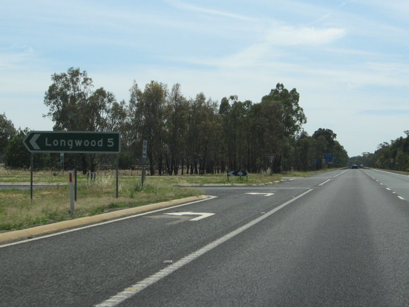
Reassurance Directional Sign: Distance sign at Longwood East, August 2015. Image © Paul Rands |
|
 |
Supplemental
AD Sign: Supplemental advance directional sign for the Seymour / Goulburn Valley Hwy interchange as you cross the Goulburn River, January 2008. Image © Viseth Uch |
 |
Advance Directional Sign: AD sign at Longwood East approaching Avenel-Longwood Rd & Meades Ln, August 2015. Image © Paul Rands |
|
 |
Goulburn
River: Hume Fwy as it crosses the Goulburn River near Seymour. January 2008. Image © Viseth Uch |
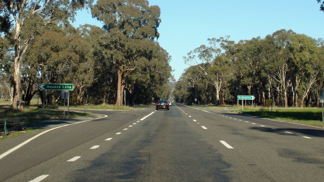 |
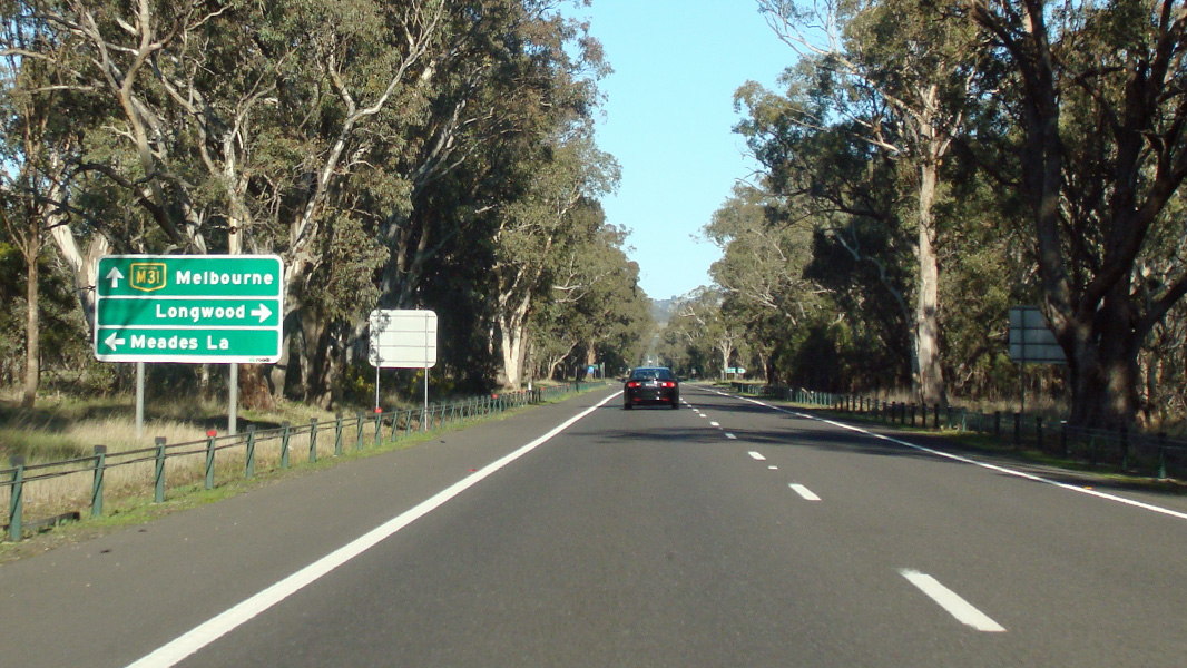
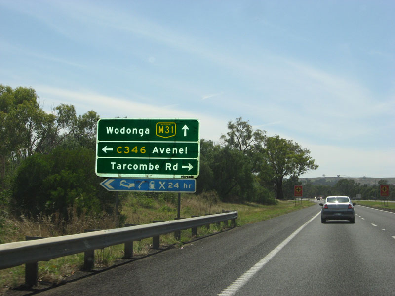
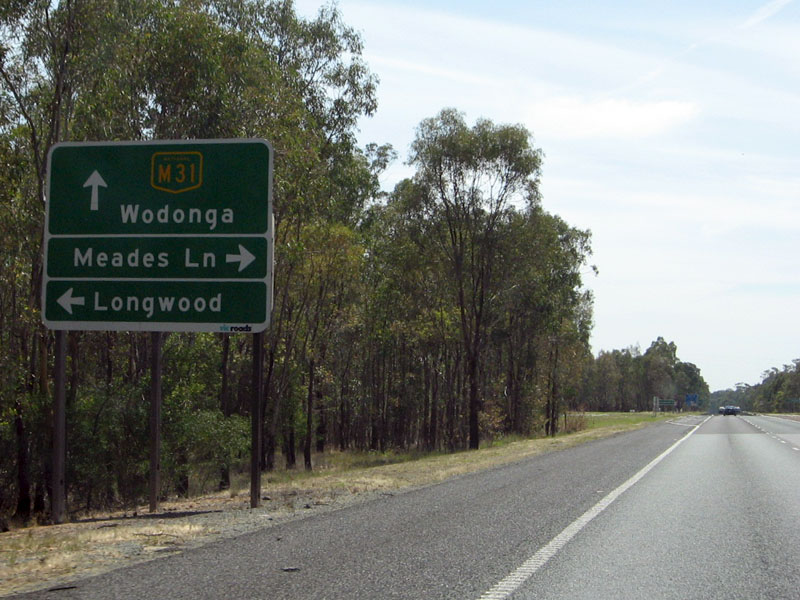
Avenel-Longwood Road & Meades Lane: Hume Fwy (M31) at the junction with Avenel-Longwood Rd and Meades Ln, Longwood East, August 2015. Image © Paul Rands |
|
 |
Advance Exit Signage Image © Rob Tilley |
 |
Reassurance Directional Sign: Distance sign at Longwood East, August 2015. Image © Paul Rands |
|
 |
Supplemental
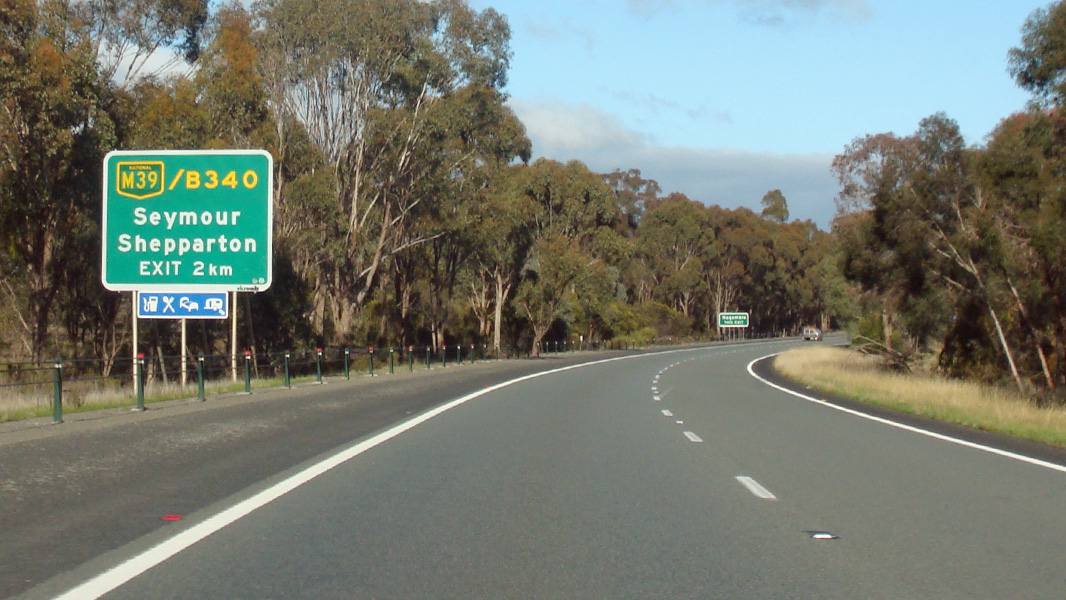
AD Sign: Services signage as you approach the Goulburn Valley Highway (M39) interchange, January 2008. Image © Viseth Uch |
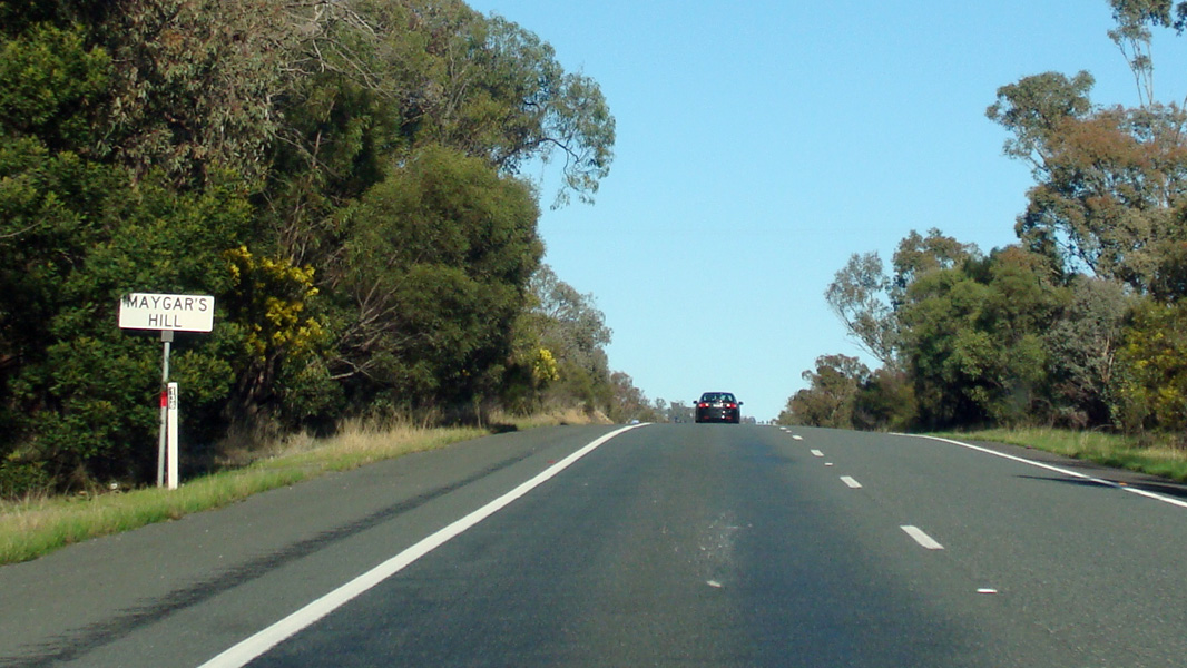 |
Maygar's Hill: Hume Fwy (M31) climbing Maygar's Hill at Longwood East, August 2015. Image © Paul Rands |
|
 |
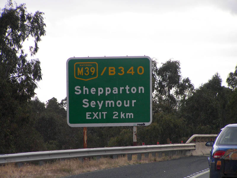
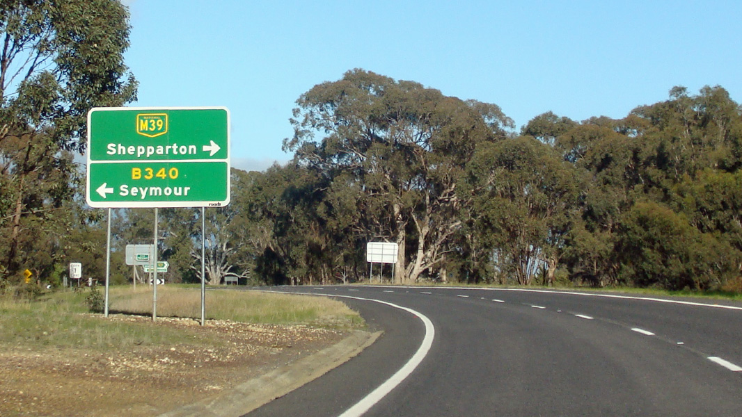
Goulburn Valley Highway
Interchange Image © Rob Tilley |
 |
Advance Directional Sign: AD sign at Longwood East approaching Depot Rd, August 2015. Image © Paul Rands |
|
 |
Advance
Directional Sign: AD sign approaching the intersection with Goulburn Valley Hwy at Seymour on the Goulburn Valley Hwy interchange, January 2008. Image © Viseth Uch |
 |
Depot Road: Hume Fwy (M31) at the junction with Depot Rd, Longwood East, August 2015. Image © Paul Rands |
|
 |
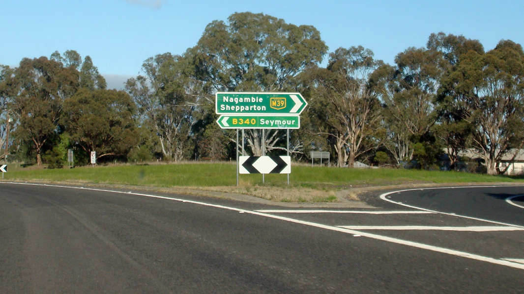
ID
Signs: Intersection directional sign assembly on the M39 / B340 interchange at Seymour on the northbound exit. January 2008. Image © Viseth Uch |
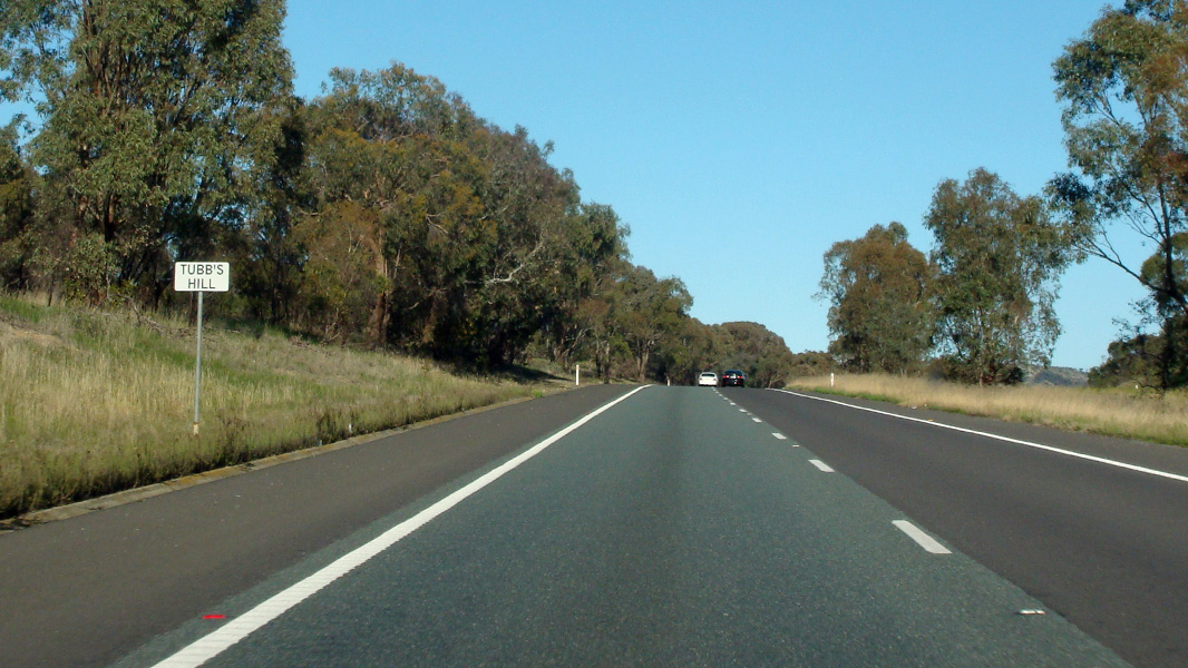 |
Tubb's Hill: Hume Fwy (M31) as it climbs Tubb's Hull at Longwood, August 2015. Image © Paul Rands |
|
 |
Hume
Hwy / Goulburn Valley Hwy Interchange: Eastbound sign gantry on the Goulburn Valley Hwy as it meets the Hume Fwy at Seymour, January 2008. Image © Viseth Uch |
 |
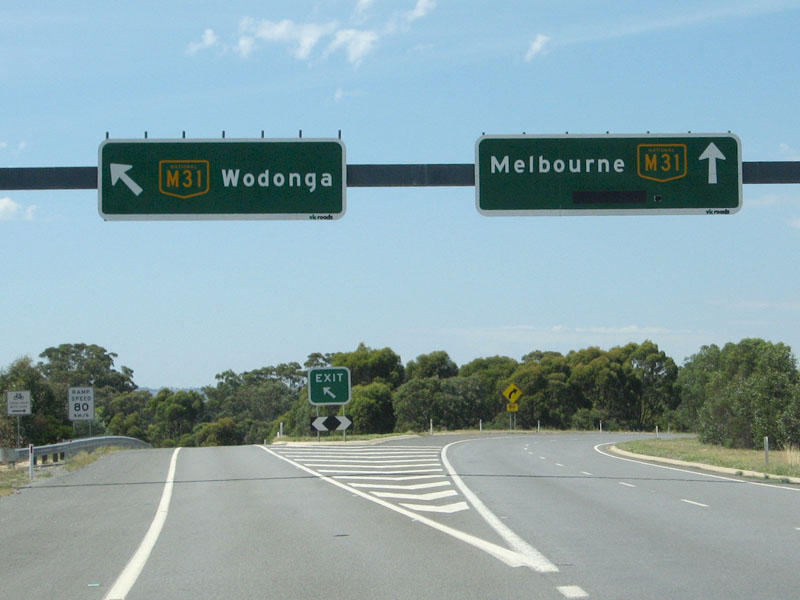
Advance Directional Sign: AD sign at Longwood approaching Berrys Ln and Carters Ln, August 2015. Image © Paul Rands |
|
 |
Northbound
Onramp: The northbound onramp from M39 to M31 at Seymour. January 2008. Image © Viseth Uch |
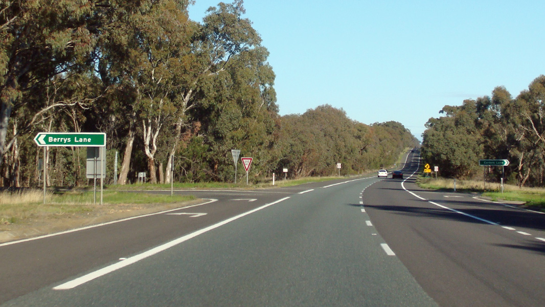 |
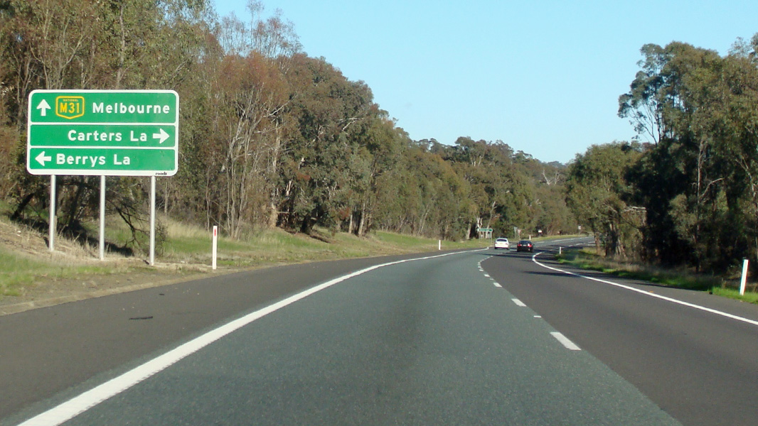
Berrys Lane & Carters Lane: Hume Fwy (M31) at Longwood at the junction with Berrys Ln & Carters Ln, August 2015. Image © Paul Rands |
|
 |
Supplemental
AD Sign: Tourism orientated supplemental AD sign approaching Jones Street at Avenel, January 2008. Image © Viseth Uch |
 |
Reassurance Directional Sign: Distance sign at Longwood, August 2015. Image © Paul Rands |
|
 |
AD
Sign: Advance directional sign approaching Jones Street and Tarcombe Road at Avenel, January 2008. Image © Viseth Uch |
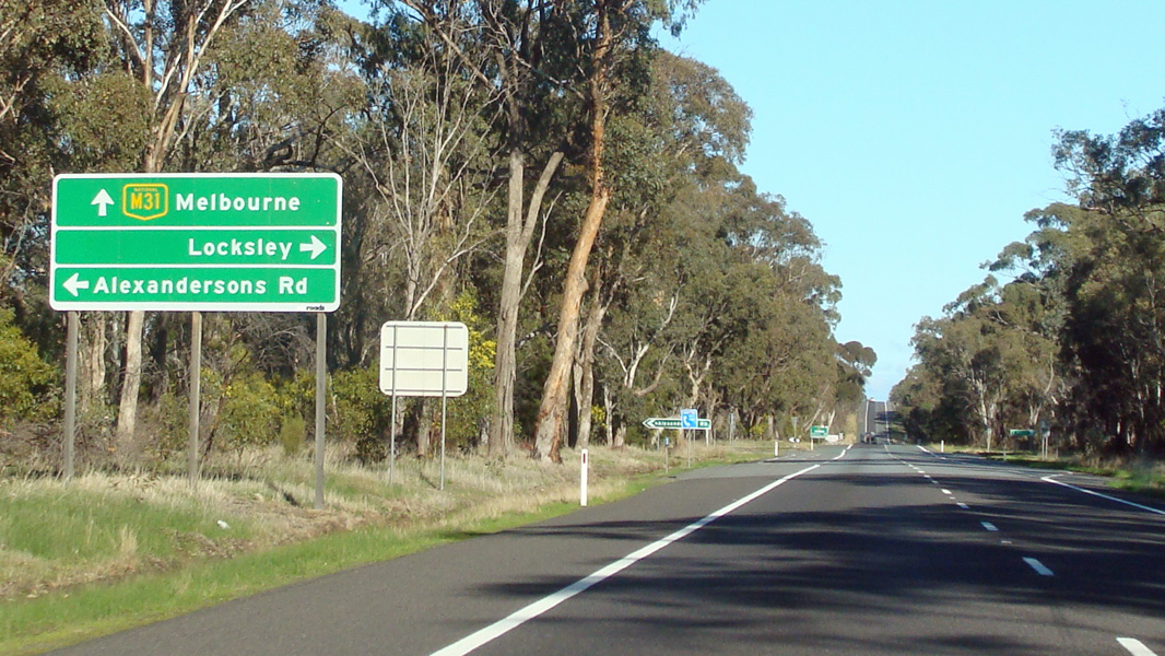 |
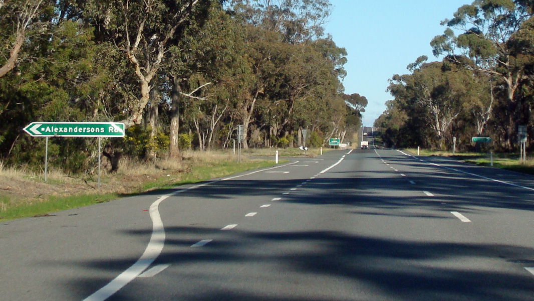
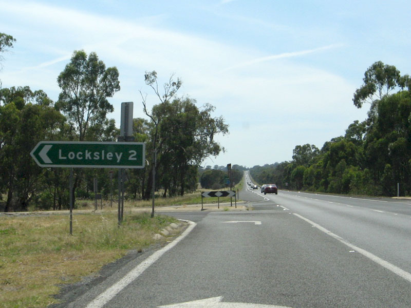
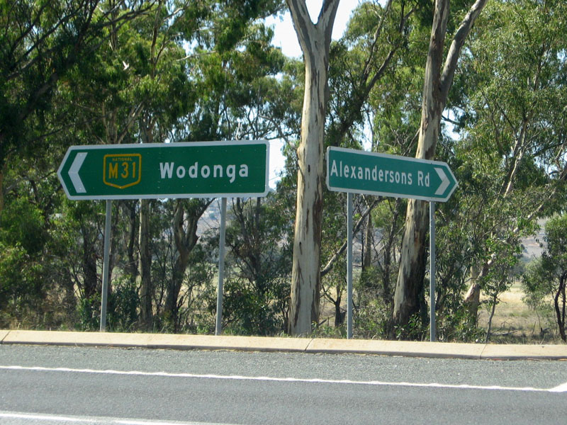
Advance Directional Sign: AD sign at Locksley approaching Alexandersons Rd, August 2015. Image © Paul Rands |
|
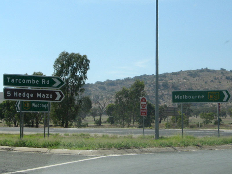 |
Tarcombe
Road: ID signage at the junction with Tarcombe Road at Avenel, January 2008. Image © Viseth Uch |
 |
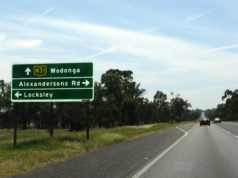
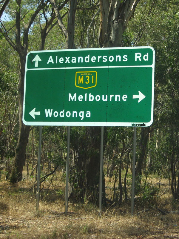
Alexandersons Road: Hume Fwy (M31) at the junction with Alexandersons Rd at Locksley, August 2015. Image © Paul Rands |
|
 |
AD
Sign: Advance sirectional sign approaching Alexandersons Road at Locksley, January 2008. Image © Viseth Uch |
 |
Reassurance Directional Sign: Distance sign at Locksley, August 2015. Image © Paul Rands |
|
 |
ID
Sign: Junction with Alexandersons Road at Locksley, January 2008. Image © Viseth Uch |
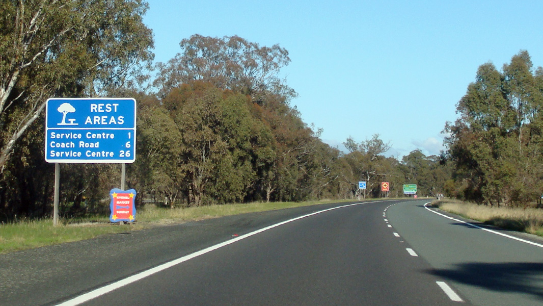 |
Reassurance Directional Sign: Rest area distance sign at Avenel, August 2015. Image © Paul Rands |
|
 |
AD
Sign: Advance directional sign on Alexandersons Road approaching the Hume Freeway at Locksley, January 2008. Image © Viseth Uch |
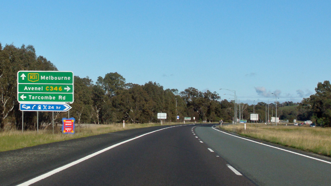 |
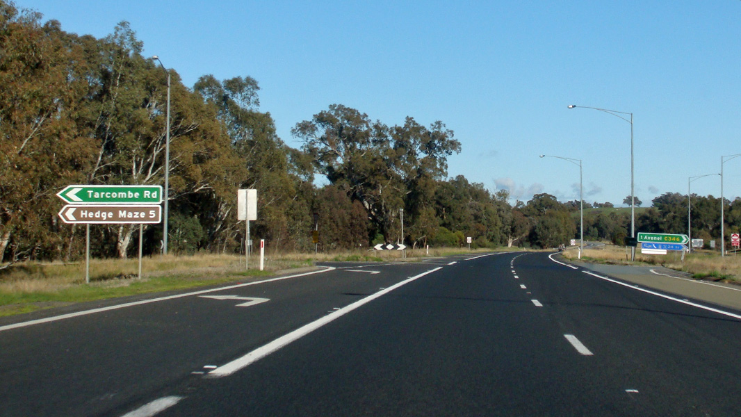
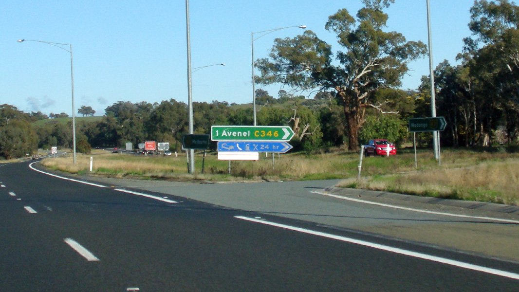
Advance Directional Sign: AD sign at Avenel approaching Tarcombe Rd and Jones St (C346), August 2015. Image © Paul Rands |
|
 |
Alexandersons
Road Junction: Slip lane for northbound traffic at the Alexandersons Road intersection at Locksley, January 2008. Image © Viseth Uch |
 |
Intersection Directional Sign: ID sign at the junction with Tarcombe Rd & Jones St (C346) at Avenel, August 2015. Image © Paul Rands |
|
 |
ID
Signs: Intersection directional signs with Alexandersons Road at Locksley, January 2008. Image © Viseth Uch |
 |
Intersection Directional Sign: ID sign at the junction with Tarcombe Rd & Jones St (C346) at Avenel, August 2015. Image © Paul Rands |
|
 |
RD
Sign: Distance sign located after Alexandersons Road at Locksley, January 2008. Image © Viseth Uch |
 |
Advance Directional Sign: AD sign at Avenel approaching Lambing Gully Rd, August 2015. Image © Paul Rands |
|
 |
Typical
Conditions: The Hume Freeway as it passes through Longwood East, January 2008. Image © Viseth Uch |
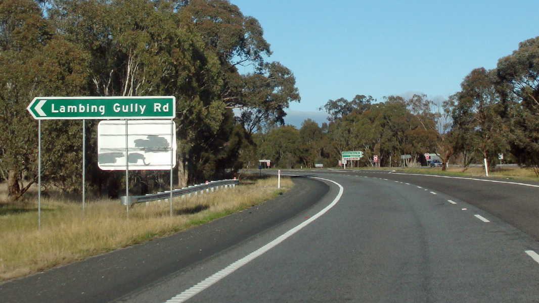 |
Lambing Gully Road: Hume Fwy (M31) at Avenel at the Lambing Gully Rd junction, August 2015. Image © Paul Rands |
|
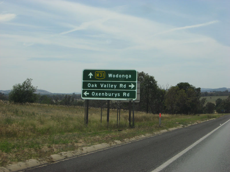 |
AD
Sign: Advance directional sign as you approach Oxenbury's Road and Oak Valley Road at Longwood East, January 2008. Image © Viseth Uch |
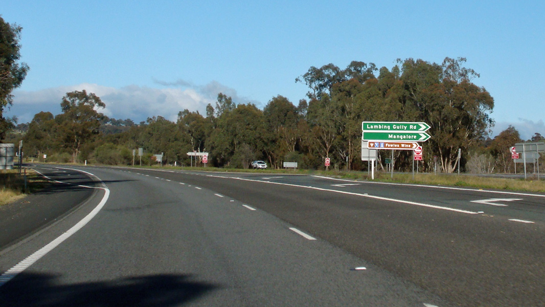 |
Lambing Gully Road: Hume Fwy (M31) at Avenel at the Lambing Gully Rd junction, August 2015. Image © Paul Rands |
|
 |
ID
Sign: Intersection directional sign at Longwood East for Carters Lane, January 2008. Image © Viseth Uch |
 |
Reassurance Directional Sign: Distance sign at Avenel, August 2015. Image © Paul Rands |
|
 |
RD
Sign: Distance sign at Longwood East, January 2008. Image © Viseth Uch |
 |
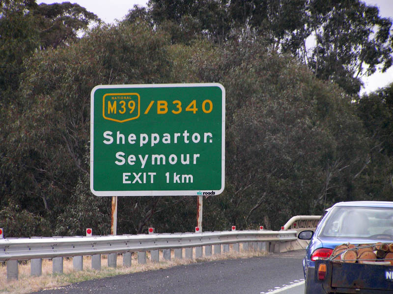
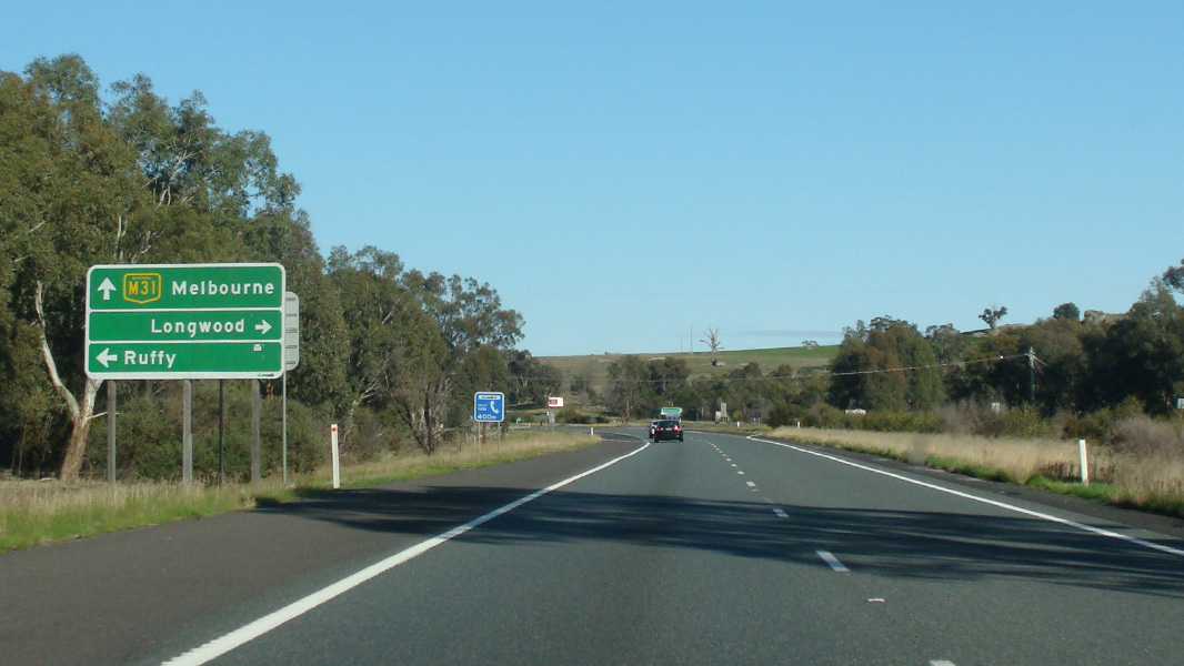
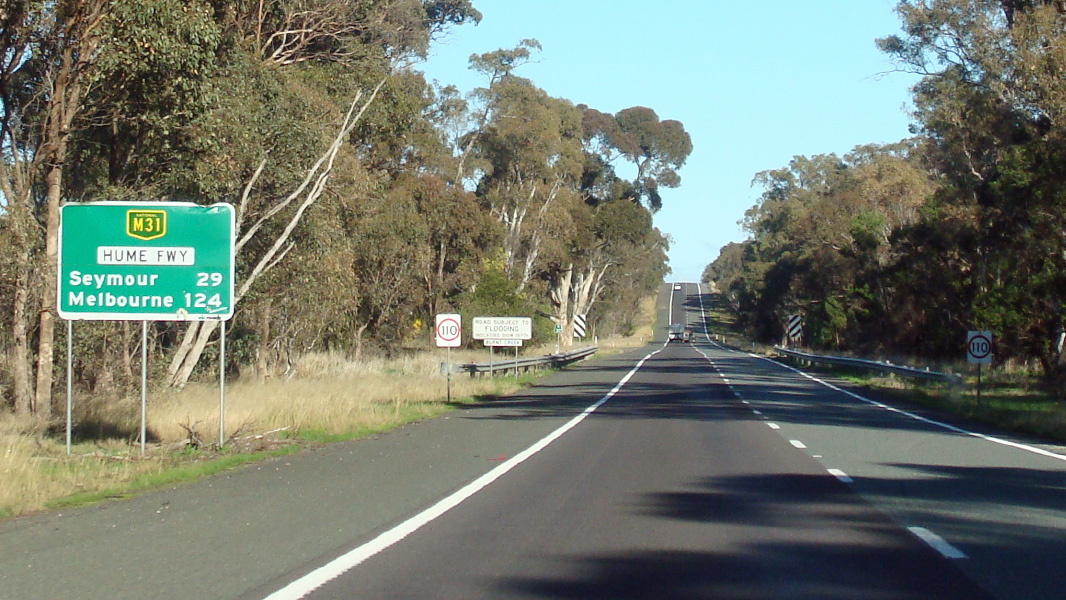
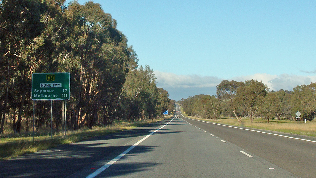
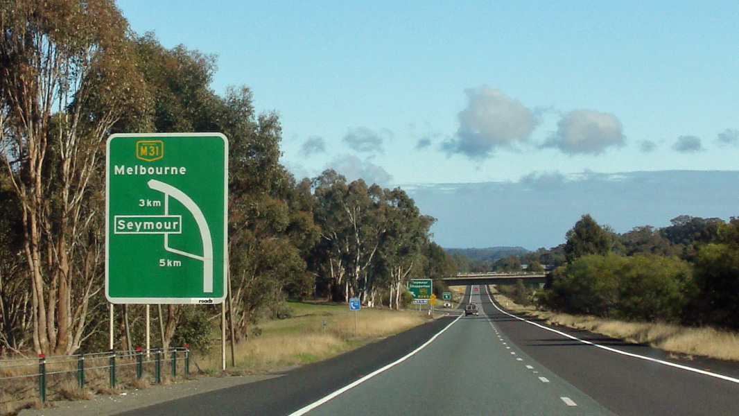
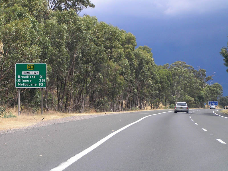
Advance Directional Sign: AD sign at Seymour approaching Goulburn Valley Hwy (B340) and Goulburn Valley Fwy (M39), August 2015. Image © Paul Rands |
|
 |
AD
Sign: AD sign for Avenel-Longwood Road and Meades Lane at Longwood, January 2008. Image © Viseth Uch |
 |
Supplemental Advance Directional Sign: Supplemental AD sign at Seymour approaching Goulburn Valley Hwy (B340) and Goulburn Valley Fwy (M39), August 2015. Image © Paul Rands |
|
 |
ID
Sign: ID sign for Avenel-Longwood Road and Meades Lane at Longwood, January 2008. Image © Viseth Uch |
 |
Supplemental Advance Directional Sign: Supplemental AD sign at Seymour approaching Goulburn Valley Hwy (B340) and Goulburn Valley Fwy (M39), August 2015. Image © Paul Rands |
|
 |
RD
Sign: Distance sign after Avenel-Longwood Road and Meades Lane at Longwood, January 2008. Image © Viseth Uch |
 |
Advance Directional Sign: AD sign at Seymour approaching Goulburn Valley Hwy (B340) and Goulburn Valley Fwy (M39), August 2015. Image © Paul Rands |
|
 |
AD
Sign: Advance directional sign approaching Creighton Road at Creighton, January 2008. Image © Viseth Uch |
 |
Supplemental Advance Directional Sign: Supplemental AD sign at Seymour approaching Goulburn Valley Hwy (B340) and Goulburn Valley Fwy (M39), August 2015. Image © Paul Rands |
|
 |
ID
Sign: Intersection directional sign at Creighton Road at Creighton, January 2008. Image © Viseth Uch |
 |
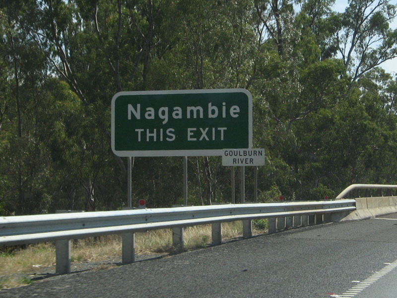
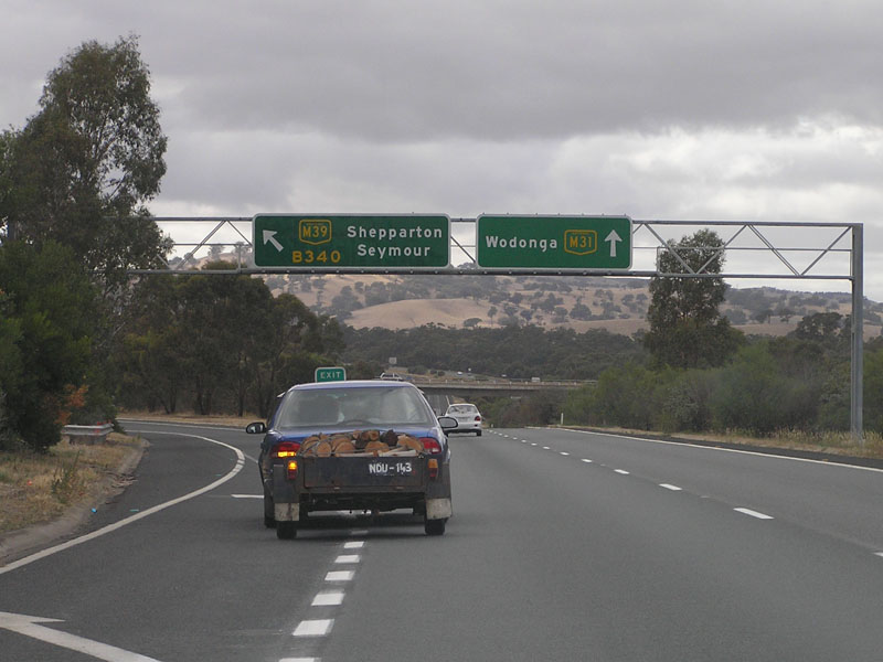
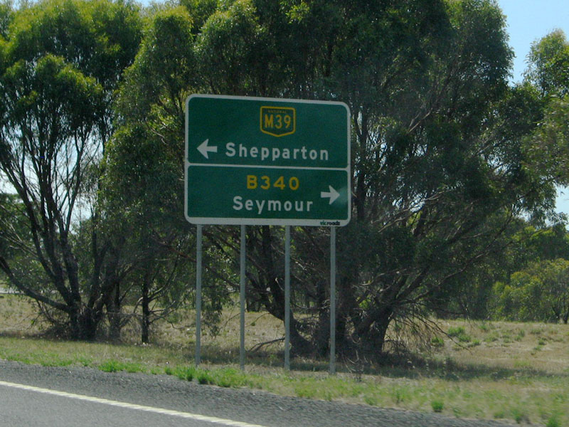
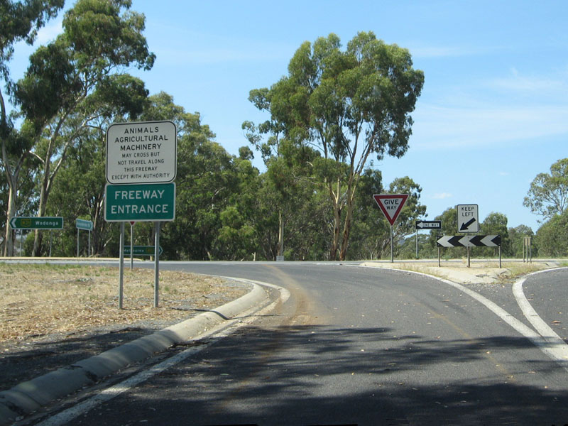
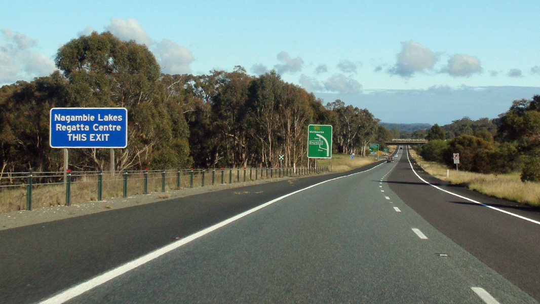
Bypassed Town Sign: Bypassed town AD sign approaching Goulburn Valley Hwy (B340) and Goulburn Valley Fwy (M39) at Seymour, August 2015. Image © Paul Rands |
|
 |
RD
Sign: Distance sign at Creighton after Creighton Road, January 2008. Image © Viseth Uch |
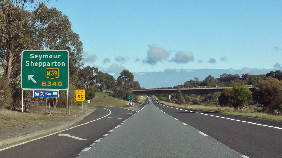 |
Goulburn Valley Highway & Goulburn Valley Freeway: Hume Fwy (M31) at the interchange with Goulburn Valley Hwy (B340) and Goulburn Valley Fwy (M39) at Seymour, August 2015. Image © Paul Rands |
|
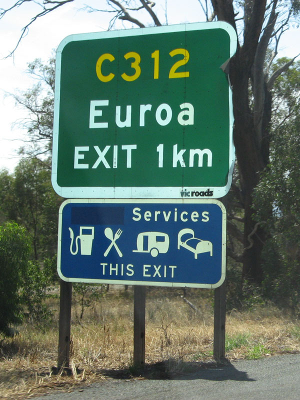 |
AD
Sign: Advance exit sign at Euroa approaching the interchange with Euroa Main Road (C312), January 2008. Image © Viseth Uch |
 |
Advance Directional Sign: AD sign at Seymour on the off ramp to Goulburn Valley Hwy (B340) and Goulburn Valley Fwy (M39), August 2015. Image © Paul Rands |
|
 |
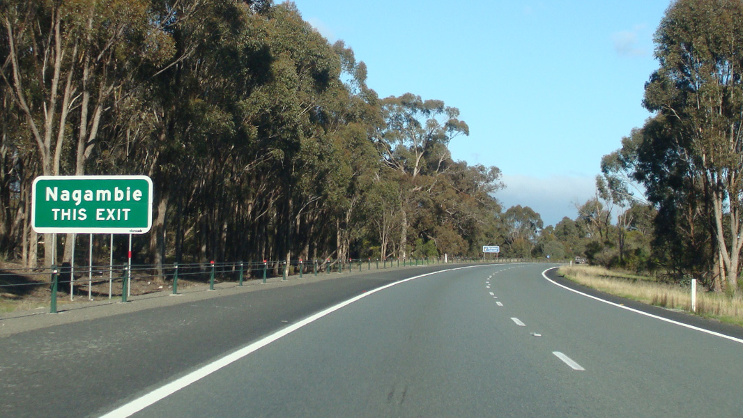
Bypassed
Town Sign: Bypassed town signage for Euroa as you approach the interchange with Euroa Main Road (C312) at Euroa, January 2008. Image © Viseth Uch |
 |
Intersection Directional Sign: ID sign at Seymour facing the off ramp to Goulburn Valley Hwy (B340) and Goulburn Valley Fwy (M39), August 2015. Image © Paul Rands |
|
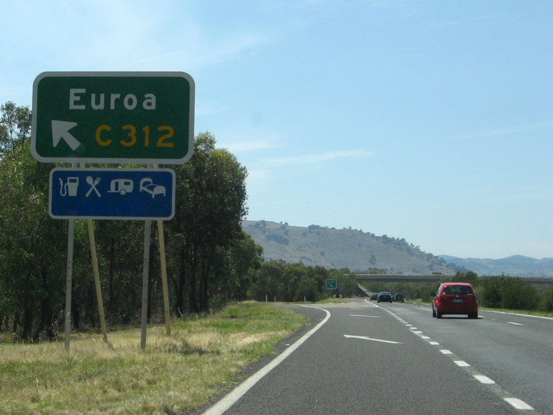 |
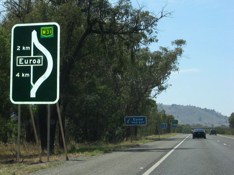
Euroa
Main Road Interchange: Looking northbound through the interchange with Euroa Main Road (C312) at Euroa, January 2008. Image © Viseth Uch |
 |
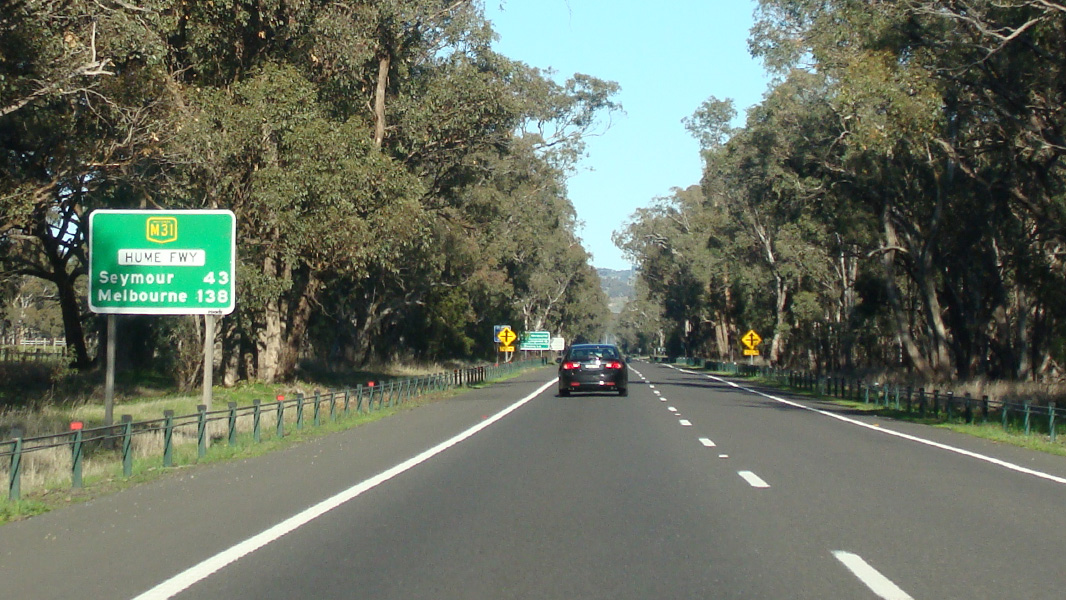
Distance
Sign Image © Rob Tilley |
|
| Click
here for the continuation of M31 between Euroa and Wangaratta Click here for the continuation of M31 between Seymour and Broadford |
||||
1 Department of Infrastructure, Transport, Regional Development and Local
Government
2 Vicroads
3 Wandong-Heathcote Junction
Community Group
4 Viseth Uch
Last updated: 14-Feb-2019 21:23
This site © Paul Rands. All rights reserved. Some portions © (copyright) by their respective and credited owners. Permission must be obtained before using any images from this site. For details, please email by clicking here.