Road Photos & Information: Victoria
Blackburn Road, Whitehorse Road, Surry Road and Andersons Creek Road (Metropolitan Route 13)
Statistics:
- Length:
- 20 km
- Termini:
- Northern: Heidelberg-Warrandyte Rd (MR42 / TD2), Doncaster East
- Southern: Princes Hwy (ALT-NR1), Clayton
- Miscellaneous:
- Declared Names: Blackburn Rd, Maroondah HWY, Blackburn Rd and Andersons Ck Rd
- Suburbs, Towns & Localities Along Route:
- Clayton, Notting Hill, Glen Waverley, Burwood East, Blackburn South, Blackburn, Blackburn North and Doncaster East
Route Numbering:
- Current: 13
- Multiplexed with: 42
- Road Authority Internal Classification: 1
- Arterial 5307 (Clayton to Blackburn and Blackburn to Doncaster East)
- Arterial 5947 (Doncaster East)
- Arterial 6720 (Blackburn)
General Information:
Located in Melbourne's eastern suburbs, Metropolitan Route 13 is a suburban arterial road which consists of divided and undivided roadway.
Blackburn Road is a major thoroughfare that passes through the suburb of Blackburn, which is believed to have been named after James Blackburn, (1803-1854), who was transported for forgery to Tasmania 'for the term of his natural life'. He was an architect and engineer of previously irreproachable character who lapsed just once into crime when financially hard-pressed. Employed in the Roads Department as an engineer, he worked so well and honourably that he was granted a free pardon in 1841. In 1849 he came to Melbourne with his wife and children and was appointed City Surveyor soon afterwards. In 1851 he designed the Yan Yean water supply system, but died before it was completed, after a riding accident. The section of Blackburn Road from Clayton through Notting Hill was originally called May's Road then May Road (which was named after early settler Edward May a member and Chairman of the Roads Board who had a market garden on the road). The Surrey Road segment of the route was originally known and shown as Essex Rd up to the late 1950s. 2
- Metropolitan Route 34, for 200 m, Blackburn.
History:
- 1962: Blackburn Road widening. 3
- 1965: Introduction of MR13 number. 4
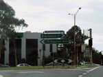
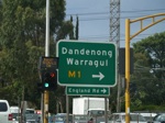
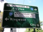
Clayton to Doncaster East
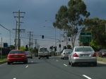
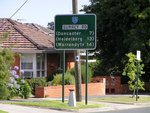
Doncaster East to Clayton
2 City of Monash Library.
3 Waverley Gazette.
