Statistics:
- Length:
- 26 km
- Termini:
- Eastern: Western Fwy (M8) and Avenue Rd (unnumbered) (Ballarat Avenue of Honour Overpass), Burrumbeet
- Western: Western Fwy (M8), Warrenheip (Woodmans Hill Interchange)
- Suburbs, Towns & Localities Along Route:
- Burrumbeet, Cardigan Village, Cardigan, Alfredton, Ballarat, Brown Hill and Warrenheip
Route Numbering:
- Current: C805
- Former: 8 8
- Road Authority Internal Classification: 1
- 5087
General Information:
The C805 corridor, is the former Western Highway routing through the city of Ballarat (except where it bypasses Ballarat's main street). It runs in a general east-west fashion, passing through rural, residential, commercial and industrial areas.
The road is a mix of divided multi-laned roadway, as well single carriageway undivided road and acts as one of the connector routes to the Western Fwy (M8).
History:
- 1997: Ballarat Bypass opens to traffic. 2
- 2006: Construction of intersection channelisation at Ballarat-Burrumbeet Road (Sturt Street) and Raglan Street, Ballarat. 3
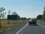
Advance Directional Sign:
AD sign with old NH8 shield approaching the intersection with Windermere-Learmonth Road and Madden Road at Cardigan Village, December 2006.
Image © Rob Tilley
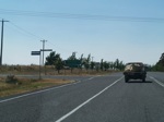
Windermere-Learmonth Road and Madden Road Intersection:
Looking southeast at the junction with Windermere-Learmonth Road and Madden Road in Cardigan Village, December 2006.
Image © Rob Tilley
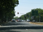
Advance Directional Sign:
AD sign at Ballarat approaching the intersection with Gillies Street (C307), December 2006.
Image © Rob Tilley
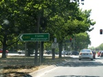
Intersection Directional Sign:
Eastbound ID sign at the Gillies Street intersection (C307), Ballarat, December 2006.
Image © Rob Tilley
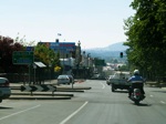
AD Sign:
Advance directional sign approaching Dawson St North in Ballarat, December 2006. C805 turns left at Dawson St.
Image © Rob Tilley
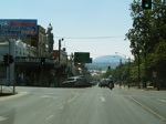
Dawson Street Intersection:
Looking eastbound at the Dawson St North intersection in Ballarat, with the AD sign for the junction with Midland Hwy (A300) (Doveton St North) in the distance, December 2006. C805 turns left at this intersection.
Image © Rob Tilley
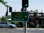
Advance Directional Sign:
AD sign acting as an intersection directional sign facing northbound traffic on Princes St in Ballarat, December 2006.
Image © Rob Tilley
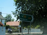
Intersection Directional Sign:
Intersection directional sign at the northern side of the junction, facing northbound traffic on Princes St in Ballarat, December 2006.
Image © Rob Tilley
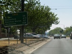
Distance Sign:
Eastbound RD sign between the intersections with Princes St and King St in Ballarat East, December 2006.
Image © Rob Tilley
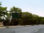
Advance Directional Sign:
AD sign approaching the intersection with Water St (Daylesford-Ballarat Rd) (C292) at Ballarat East, December 2006.
Image © Rob Tilley
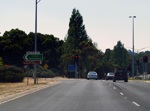
Water Street Intersection:
Looking eastbound at the intersection with Water St (Daylesford-Ballarat Rd) (C292) at Ballarat East, December 2006.
Image © Rob Tilley
1 VIC Government, VicRoads, Road Management Plan 2020-2021, 07 December 2020.
2 Viseth Uch.
3 VIC Government, VicRoads Contracts and Tenders Site.


