Statistics:
- Length:
- 8 km
- Termini:
- Eastern: Calder Fwy (M79) and Trio Rd (unnumbered), Kyneton
- Western: Calder Fwy (M79), Kyneton
- Suburbs, Towns & Localities Along Route:
- Kyneton
Route Numbering:
- Current: C793
- Former: 79
- Road Authority Internal Classification: 1
- 5105
General Information:
LC793 is the former single carriageway alignment of the Calder Highway through the town of Kyneton, it passes through rural, commercial and residential areas.
History:
- 1993: Kyneton Bypassed, NR79 rerouted via new Calder Highway alignment as a result. 2
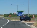
Intersection Directional Sign:
ID sign on Calder Fwy (M79), Kyneton at the Kyneton Main Road (C793) intersection, October 2006.
Image © Rob Tilley
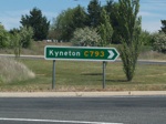
Intersection Directional Sign:
ID sign on Calder Fwy (M79), Kyneton at the Kyneton Main Road (C793) intersection, October 2006.
Image © Rob Tilley
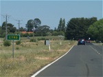
Trailblazer:
Route number reassurance marker near Deep Lead Lane at Kyneton, after the junction with Calder Freeway, October 2006.
Image © Rob Tilley

Intersection Directional Sign Assembly:
ID signs (cnr Mollison and Piper St) in Kyneton town centre, October 2006.
Image © Rob Tilley
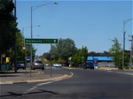
ID Sign:
ID sign on the Edgecombe Street intersection in Kyneton, October 2006.
Image © Rob Tilley
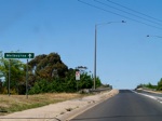
Supplemental AD Sign:
Supplemental advance directional sign at the interchange with Calder Fwy (M79) in Kyneton, October 2006.
Image © Rob Tilley
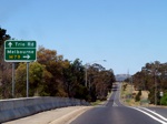
AD Sign:
Advance directional sign at the interchange with Calder Fwy (M79) in Kyneton, October 2006.
Image © Rob Tilley
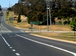
Calder Freeway Interchange:
Intersection directional sign at the Calder Fwy (M79) interchange in Kyneton. This is the eastern terminus of C793, October 2006.
Image © Rob Tilley

Intersection Directional Sign Assembly:
ID sign in Kyneton town centre, October 2006.
Image © Rob Tilley
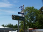
Intersection Directional Sign Assembly:
ID sign in Kyneton town centre, October 2006.
Image © Rob Tilley
1 VIC Government, VicRoads, Road Management Plan 2020-2021, 07 December 2020.
2 VIC Government, VicRoads Kyneton Bypass brochure, November 1993.


