Statistics:
- Length:
- 16 km
- Termini:
- Northern: Mornington-Tyabb Road (Main St) (C782), Esplanade (unnumbered) and Schnapper Point Dr (unnumbered), Mornington
- Southern: Nepean Highway (B110) and Point Nepean Road (B110), Dromana
- Suburbs, Towns & Localities Along Route:
- Mornington, Mt Martha, Safety Beach and Dromana
Route Numbering:
- Current: C783
- Road Authority Internal Classification: 1
- 5756
General Information:
C783 is a coastal route that passes through residential and commercial areas on the Mornington Peninsula near Melbourne, following the shoreline of Port Phillip.
History:
- 2006: Construction of tunnel under the Martha Cove Development on Marine Parade in Safety Beach.
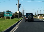
Entering Safety Beach:
Northbound on Marine Dr in Safety Beach at the start of C783, September 2006.
Image © Rob Tilley
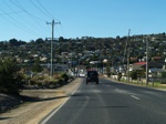
Safety Beach:
Northbound on Marine Drive through the Safety Beach area, September 2006.
Image © Rob Tilley
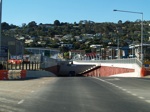
Approaching Tunnel:
Approaching the tunnel at Safety Beach under Martha Cove, September 2006.
Image © Rob Tilley
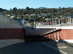
Approaching Tunnel:
Approaching the tunnel at Safety Beach under Martha Cove, September 2006.
Image © Rob Tilley
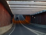
Martha Cove Tunnel:
Northbound through the tunnel under Martha Cove Waterway at Safety Beach, September 2006.
Image © Rob Tilley

Martha Cove Tunnel:
Northbound through the tunnel under Martha Cove Waterway at Safety Beach, September 2006.
Image © Rob Tilley
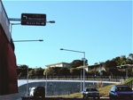
Advance Directional Sign:
AD sign approaching Bruce Road in Mt Martha, September 2006.
Image © Rob Tilley
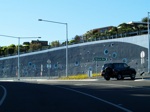
Bruce Road Intersection:
Corner of Marine Dr (C783) and Bruce Rd in Mt Martha, September 2006.
Image © Rob Tilley
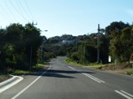
Mt Martha Area:
Esplanade as it heads through the Mt Martha area, September 2006.
Image © Rob Tilley
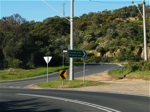
Stanley Crescent Intersection:
ID sign on the corner of Esplanade and Stanley Crescent, September 2006.
Image © Rob Tilley
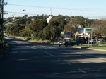
Bay Road Intersection:
Corner of Esplanade and Bay Road, near the Mt Martha shops, September 2006.
Image © Rob Tilley
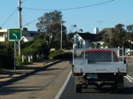
Advance Directional Sign:
AD sign at Mt Martha, September 2006.
Image © Rob Tilley
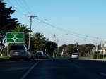
Advance Directional Sign:
AD sign approaching the northern terminus of C783 - the junction of Esplanade and Main Street at Mornington, September 2006.
Image © Rob Tilley
Intersection Directional Sign:
ID sign at Mornington, on the corner of Esplanade (C783) and Main Street (C782). This is the northern terminus of C783 and western terminus of C782, September 2006.
Image © Rob Tilley
1 VIC Government, VicRoads, Road Management Plan 2020-2021, 07 December 2020.


