Statistics:
- Length:
- 15 km
- Termini:
- Eastern: Epping-Kilmore Road (C729) and Lehmanns Rd (unnumbered), Wollert
- Western: Mickleham Road (C739) and Craigieburn Rd (unnumbered), Craigieburn
- Suburbs, Towns & Localities Along Route:
- Wollert and Craigieburn
Route Numbering:
- Current: C722
- Multiplexed with: 55
- Road Authority Internal Classification:
- 5106 (Craigieburn and Craigieburn to Wollert)
- 5500 (Craigieburn town centre)
General Information:
A semi-rural road, C722, services the developing residential areas and farming areas of the outskirts of North Melbourne, and connects with several major roads.
Multiplexes along the route include:
- Metropolitan Route 55, for 600 m, Craigieburn
History:
- 2005: Construction of Hume Fwy (M31) interchange at Wollert.
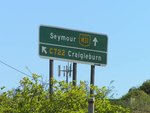
Advance Directional Sign:
AD sign on Sydney Rd (now MR55) approaching the Craigieburn Rd (C722) interchange at Craigieburn, December 2005.
Image © Rob Tilley
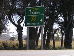
Advance Directional Sign:
AD sign on Craigieburn Rd East (C722) approaching the Sydney Rd (now MR55) interchange at Craigieburn, December 2005.
Image © Rob Tilley
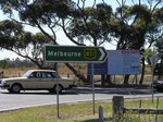
Sydney Road Interchange:
Intersection directional sign at the Sydney Rd (MR55) interchange at Craigieburn, December 2005.
Image © Rob Tilley
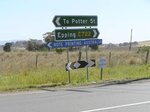
Intersection Directional Sign:
ID sign assembly facing Sydney Rd (MR55) interchange at Craigieburn, December 2005.
Image © Rob Tilley
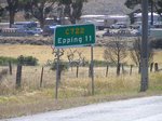
Reassurance Directional Sign:
Distance Sign at Craigieburn, near Sydney Rd (MR55) interchange, December 2005.
Image © Rob Tilley
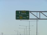
Advance Directional Sign:
AD sign approaching Hume Fwy (M31) at Wollert, December 2005.
Image © Rob Tilley
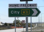
Intersection Directional Sign:
ID sign at the Hume Fwy (M31) interchange at Wollert, December 2005.
Image © Rob Tilley

Intersection Directional Sign:
ID sign at the junction of Epping Rd (C729) and Lehmanns Rd in Wollert, 2005. This is the eastern terminus of the C722.
Image © Nick Jennion
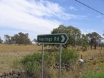
Intersection Directional Sign:
ID sign at Vearings Rd in Wollert, 2005.
Image © Nick Jennion
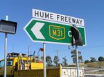
Intersection Directional Sign:
ID sign at the Hume Fwy (M31) interchange at Wollert, December 2005.
Image © Rob Tilley
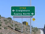
Advance Directional Sign:
AD sign on the off-ramp from Hume Fwy (M31) at Wollert approaching Craigieburn Rd East (C722), December 2005.
Image © Rob Tilley
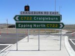
Intersection Directional Sign:
ID sign assembly facing the Hume Fwy (M31) off-ramp at Wollert, December 2005.
Image © Rob Tilley

Advance Directional Sign:
AD sign on Craigieburn Rd East approaching the interchange with Sydney Rd (now MR55) at Craigieburn, December 2005.
Image © Rob Tilley
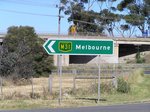
ID Sign:
Intersection directional sign at the Sydney Rd (MR55) interchange at Craigieburn, December 2005.
Image © Rob Tilley
1 VIC Government, VicRoads, Road Management Plan 2020-2021, 07 December 2020.


