Statistics:

Length:
9 km
Termini:
Northern: Princes Hwy (A1), Swan Reach
Southern: Kurnai Av (unnumbered) and Metung Rd (unnumbered), Metung
Suburbs, Towns & Localities Along Route:
Swan Reach and Metung

Route Numbering:

Current: C606
Multiplexed with: 3
Road Authority Internal Classification: 1
4004

General Information:

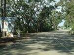
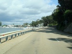
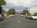
C606 is a rural route in East Gippsland that links the holiday town of Metung with the Princes Highway. It forms part of the Gippsland Lakes Tourist Drive.

Multiplexes along the route include:
Tourist Drive 3, for 4 km, between Nungurner Rd and Kurnai Av, Metung.

Swan Reach to Metung

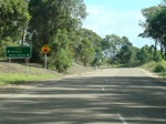
image

Advance Directional Sign:

AD sign on Nungurner Road approaching Metung Road (C606 / TD3). Metung, April 2010.

Image © Paul Rands

image

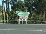
Intersection Directional Sign:

ID sign facing Nungurner Road. Metung, April 2010.

Image © Paul Rands

image

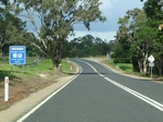
Services Sign:

Southbound services sign near Hardys Road. Metung, April 2010.

Image © Paul Rands

image

Approaching Rosherville Road:

Metung Rd as it approaches the intersection with Roshervile Rd. Metung, April 2010.

Image © Paul Rands

image

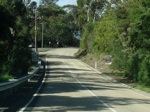
Entering Metung:

Metung Road as it enters the town of Metung, April 2010.

Image © Paul Rands

image

Metung Town Centre:

Metung Road as it passes Lake Victoria and enters the CBD of Metung, April 2010.

Image © Paul Rands

image

Metung Town Centre:

Metung Road as it passes through the Metung town centre, April 2010.

Image © Paul Rands

1 VIC Government, VicRoads, Road Management Plan 2020-2021, 07 December 2020.