Statistics:
- Length:
- 33 km
- Termini:
- Eastern: Acheron Way (C507), Warburton
- Western: Maroondah Highway (B360) and Wilson St (unnumbered), Healesville
- Suburbs, Towns & Localities Along Route:
- Healesville, Badger Creek, Mount Toolebewong and Warburton
Route Numbering:
- Current: C505
- Multiplexed with: C506
- Road Authority Internal Classification: 1
- 4831
General Information:
C505 is a rural route in the Yarra Ranges, which is subject to closures during the winter months, and passes through residential, semi-rural and bushland regions.
Multiplexes along the route include:
- C506, for 5 km, between Badger Creek and Mt Toolebewong.
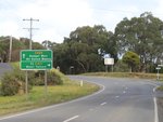
Advance Directional Sign:
AD sign approaching Badger Av in Badger Creek, July 2012.
Image © Rob Tilley

Advance Directional Sign:
AD sign approaching Don Rd (C506) and Badger Weir Rd in Badger Ck, July 2012. The C506 duplex starts at this junction.
Image © Rob Tilley

Advance Directional Sign:
AD sign on Badger Weir Rd at Badger Ck approaching Don Rd (C506) and Donna Buang Rd (C505), July 2012.
Image © Rob Tilley

Intersection Directional Sign:
ID sign at the junction with Badger Weir Rd, Don Rd (C506) and Donna Buang Rd (C505) at Badger Ck, July 2012.
Image © Rob Tilley

Intersection Directional Sign:
ID sign facing Badger Weir Rd at Badger Ck at its junction with Don Rd (C506) and Donna Buang Rd (C505), July 2012.
Image © Rob Tilley
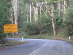
Road Closure Sign:
Winter road closure sign near Badger Ck, urging motorists to detour via C506, July 2012.
Image © Rob Tilley
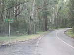
Trailblazer:
C505 trailblazer at Badger Creek, July 2012.
Image © Rob Tilley
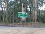
Intersection Directional Sign:
ID sign at the corner of Don Rd (C506) and Donna Buang Rd (C505) at Badger Ck, July 2012. The C506 duplex ends here.
Image © Rob Tilley
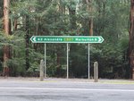
Intersection Directional Sign:
ID sign facing Donna Buang Rd (C505) at its junction with Acheron Way (C507) at Warburton, July 2012. This is the eastern terminus of C505.
Image © Rob Tilley
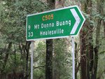
Intersection Directional Sign:
ID sign at the corner of Acheron Way (C507) and Donna Buang Rd (C505) in Warburton, July 2012.
Image © Rob Tilley
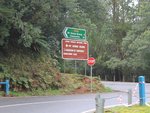
Intersection Directional Sign:
ID sign at the corner of Acheron Way (C507) and Donna Buang Rd (C505) in Warburton, July 2012.
Image © Rob Tilley
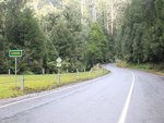
Trailblazer:
C505 trailblazer at Warburton near the Acheron Way (C507) junction, July 2012.
Image © Rob Tilley
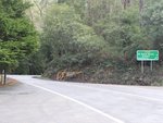
Distance Sign & Gate:
Reassurance directional sign and gate for road closures at Warburton, July 2012.
Image © Rob Tilley
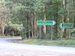
Intersection Directional Signs:
ID signs at the junction with Don Rd (C506) in Badger Creek, July 2012. The C506 duplex starts here.
Image © Rob Tilley
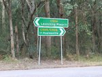
Intersection Directional Signs:
ID signs at the junction with Don Rd (C506) in Badger Creek, July 2012. The C506 duplex starts here.
Image © Rob Tilley

Advance Directional Sign:
AD sign at Badger Creek approaching Badger Weir Road, July 2012. C505 turns left here and its duplex with C506 ends.
Image © Rob Tilley
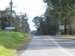
Trailblazer:
C505 trailblazer near the Badger Ck town centre, July 2012.
Image © Rob Tilley
Advance Directional Sign:
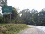
AD sign approaching Badger Av at Badger Ck, July 2012.
Image © Rob Tilley
End C505:
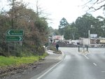
ID sign assembly at the western terminus of C505: Maroondah Hwy (B360) in Healesville, July 2012.
Image © Rob Tilley
1 VIC Government, VicRoads, Road Management Plan 2020-2021, 07 December 2020.


