Statistics:
- Length:
- 60 km
- Termini:
- Northern: Princes Hwy (M1) and Breed St (unnumbered), Traralgon
- Southern: South Gippsland Hwy (A440), Yarram
- Suburbs, Towns & Localities Along Route:
- Traralgon, Loy Yang, Flynns Creek, Gormandale, Willung South, Won Wron and Yarram
Route Numbering:
- Current: C482
- Multiplexed with: 94 98
- Former: 188
- Road Authority Internal Classification: 1
- 6170
General Information:
C482, located in the Gippsland region, is a rural route that passes through residential, commercial, industrial, rural and bushland areas, and links Traralgon with the south coast.
Multiplexes along the route include:
- Tourist Drive 94, for 32 km, between Traralgon and Willing South.
- Tourist Drive 98, for 7 km, between Traralgon and Loy Yang.

Loy Yang:
Hyland Hwy at Loy Yang with Loy Yang power station in the distance, July 2012.
Image © Rob Tilley

Advance Directional Sign:
AD sign at Loy Yang approaching Traralgon Ck Rd (C483), July 2012.
Image © Rob Tilley

Advance Directional Sign:
AD sign approaching Mattingly Hill Rd (C475 / TD94 / TD98) in Loy Yang, July 2012.
Image © Rob Tilley

Mattingly Hill Road:
Corner of Hyland Hwy (C482) and Mattingly Hill Rd (C475 / TD94 / TD98) in Loy Yang, July 2012. The TD98 duplex starts at this location.
Image © Rob Tilley
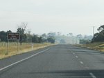
Advance Directional Sign:
AD sign at Loy Yang approaching the access to Miners View, July 2012.
Image © Rob Tilley

Advance Directional Sign:
AD sign approaching Whittakers Rd and Shakespeare St in Traralgon, July 2012.
Image © Rob Tilley

Whittakers Road & Shakespeares Street:
Hyland Hwy at the roundabout with Whittakers Rd and Shakespeare St in Traralgon, July 2012.
Image © Rob Tilley

Trailblazer:
Trailblazer near the roundabout with Whittakers Rd and Shakespeare St in Traralgon, July 2012.
Image © Rob Tilley

Advance Directional Sign:
AD sign approaching the roundabout with Bank St (C476) in Traralgon, July 2012.
Image © Rob Tilley

Intersection Directional Sign:
ID sign on the roundabout with the roundabout with Bank St (C476) in Traralgon, July 2012.
Image © Rob Tilley
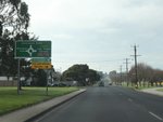
Advance Directional Sign:
AD sign approaching the roundabout with Shakespeares St and Whittakers Rd in Traralgon, July 2012.
Image © Rob Tilley
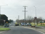
Shakespeare Street & Whittakers Road:
Hyland Hwy (C482) at the roundabout with Shakespeare St and Whittakers Rd in Traralgon, July 2012.
Image © Rob Tilley
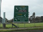
Advance Directional Sign:
AD sign on Whittakers Rd approaching the Hyland Rd (C482) and Shakespeare St roundabout in Traralgon, July 2012.
Image © Rob Tilley
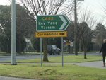
Intersection Directional Sign:
ID sign on the roundabout with Shakespeares St and Whittakers Rd in Traralgon, July 2012.
Image © Rob Tilley
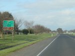
Distance Sign:
Incorrectly coloured reassurance directional sign at Traralgon, July 2012.
Image © Rob Tilley
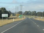
Trucks Sign:
Sign indicating authorised truck route, approaching Mattingley Hill Rd (C475) in Loy Yang, July 2012.
Image © Rob Tilley
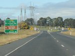
Advance Directional Sign:
AD sign approaching Mattingley Hill Rd (C475) in Loy Yang, July 2012.
Image © Rob Tilley
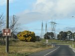
Trailblazer:
TD94 trailblazer approaching Mattingley Hill Rd (C475) in Loy Yang, July 2012.
Image © Rob Tilley
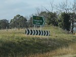
Intersection Directional Sign:
ID sign facing Mattingley Hill Rd (C475) in Loy Yang, July 2012. The TD98 duplex ends at this location.
Image © Rob Tilley
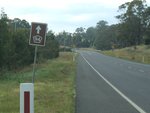
Trailblazer:
TD94 trailblazer in Loy Yang, July 2012.
Image © Rob Tilley
1 INSERT CITATION HERE


