Statistics:
- Length:
- 32 km
- Termini:
- Northern: South Gippsland Highway (A440), Foster
- Southern: Telopea Drive, Sandy Point
- Suburbs, Towns & Localities Along Route:
- Foster, Fish Creek, Waratah Bay and Sandy Point
Route Numbering:
- Current: C445
- Multiplexed with: C444
- Road Authority Internal Classification:
- 4027 (Sandy Point to Fish Creek)
- 5591 (Fish Creek)
- 5652 (Fish Creek to Foster)
General Information:
C445 is a rural route in Victoria's southeast and links several small holiday / rural towns with South Gippsland Hwy (A440), which eventually joins roads to Melbourne and Gippsland regions.
Multiplexes along the route include:
- C444, for 2 km, Fish Creek.
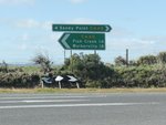
Intersection Directional Sign:
ID sign assembly facing Fish Ck-Waratah Rd at Fish Creek, August 2012.
Image © Rob Tilley
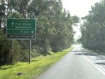
Advance Directional Sign:
AD sign at Fish Ck approaching Soldiers Rd, August 2012.
Image © Rob Tilley
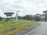
Soldiers Road:
Waratah Rd (C444) at Soldiers Rd in Fish Ck, August 2012.
Image © Rob Tilley
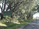
Advance Directional Sign:
AD sign approaching Fish Creek-Walkerville Rd in Fish Creek, August 2012.
Image © Rob Tilley
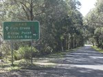
Advance Directional Sign:
AD sign on Fish Ck-Walkerville Rd approaching Waratah Rd (C445) and Foster-Waratah Rd (C445) at Fish Creek, August 2012.
Image © Rob Tilley
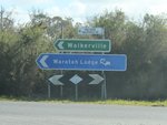
Intersection Directional Sign:
ID sign at the junction with Fish Ck-Walkerville Rd, Waratah Rd (C445) and Foster-Waratah Rd (C445) at Fish Creek, August 2012.
Image © Rob Tilley

Advance Directional Sign:
AD sign on Foster-Waratah Rd (C445) approaching the junction with Promontory Rd (C444), August 2012. The duplex with C444 begins at this intersection.
Image © Rob Tilley

Intersection Directional Sign:
ID sign facing Foster-Waratah Rd (C445) at the junction with Meeniyan-Promontory Rd (C444), August 2012. The duplex with C444 begins at this intersection. Note the missing C445 route number.
Image © Rob Tilley

Advance Directional Sign:
AD sign on Meeniyan-Promontory Rd (C444 / C445) approaching Fish Ck-Foster Rd (C445) at Fish Creek, August 2012.
Image © Rob Tilley

Intersection Directional Sign:
ID sign on Meeniyan-Promontory Rd (C444 / C445) at the junction with Fish Ck-Foster Rd (C445) at Fish Creek, August 2012. The C444 duplex ends at this intersection.
Image © Rob Tilley

Intersection Directional Sign:
ID sign assembly at the junction with Meeniyan-Promontory Rd (C444) in Fish Creek, August 2012.
Image © Rob Tilley
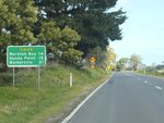
Reassurance Directional Sign:
Distance sign at Fish Ck, August 2012.
Image © Rob Tilley
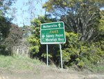
Advance Directional Sign:
AD sign at Fish Creek approaching Fish Creek-Walkerville Rd, August 2012.
Image © Rob Tilley

Intersection Directional Sign:
ID sign at the junction with Fish Creek-Walkerville Rd in Fish Creek, August 2012.
Image © Rob Tilley

Intersection Directional Sign:
ID sign at the junction with Fish Creek-Walkerville Rd (C445) in Fish Creek, August 2012.
Image © Rob Tilley
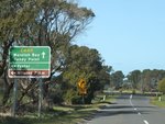
Advance Directional Sign:
AD sign approaching Soldiers Rd in Fish Creek, August 2012.
Image © Rob Tilley
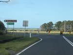
Soldiers Road:
Waratah Rd at the junction with Soldiers Rd at Fish Ck, August 2012.
Image © Rob Tilley
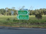
Intersection Directional Sign:
ID sign assembly facing Soldiers Rd in Fish Creek, August 2012.
Image © Rob Tilley
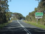
Advance Directional Sign:
AD sign at Fish Creek approaching Fish Ck-Waratah Bay Rd, August 2012.
Image © Rob Tilley
1 INSERT CITATION HERE


