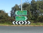
Road Photos & Information: Victoria
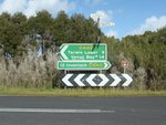
Inverloch-Venus Bay Road, Tarwin Lower Road and Buffalo-Tarwin Lower Road (C442)
Statistics:
- Length:
- 30 km
- Termini:
- Eastern: Meeniyan-Promontory Rd (C444), Buffalo
- Western: Bass Highway (B460) and Cape Paterson-Inveroch Rd (C435), Inverloch
- Suburbs, Towns & Localities Along Route:
- Inverloch, Pound Creek, Tarwin Lower, Middle Tarwin and Buffalo
Route Numbering:
- Current: C442
- Multiplexed with: C443
- Road Authority Internal Classification: 1
- 5662 (Inverloch to Tarwin Lower)
- 5665 (Tarwin Lower to Middle Tarwin)
- 5664 (Middle Tarwin to Buffalo)
General Information:
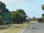
C442 is an undivided rural route linking the town of Inverloch with the tourist areas of Tarwin Lower and Wilson's Promontory. It generally passes through rural, residential and some commercial areas.
Multiplexes along the route include:
- C443, for 5 km, between Tarwin Lower and Middle Tarwin.
Click or tap here for the former alignment between Tarwin Lower and Venus Bay
Inverloch to Buffalo
1 VIC Government, VicRoads, Road Management Plan 2020-2021, 07 December 2020.
