Statistics:
- Length:
- 24 km
- Termini:
- Eastern: Midland Hwy (A300) and Yarrowee Pde, Redan
- Western: Beaufort-Carngham Rd (unnumbered) and Linton-Carngham Rd, Carngham
- Suburbs, Towns & Localities Along Route:
- Redan, Delacombe, Bunkers Hill and Carngham
Route Numbering:
- Current: C296
- Road Authority Internal Classification: 1
- 5078
General Information:
C296 is a rural link between Ballarat and the village of Carngham. It's unusual as its western terminus is at an intersection that does have any numbered routes. Most routes iN Victoria terminate at a junction with another numbered route.
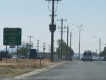
Advance Directional Sign:
Eastbound AD sign approaching the intersection with Delacombe-Wendouree Rd (Wiltshire Ln & Learmonth St South) (C307) at Delacombe, December 2006.
Image © Rob Tilley
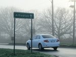
Intersection Directional Sign:
ID sign at the intersection with Delacombe-Wendouree Rd (Wiltshire Ln & Learmonth St South) (C307) at Delacombe, July 2013.
Image © Rob Tilley
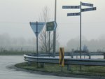
Intersection Directional Sign:
ID sign mentioning C296 on Winter St in Delacombe, July 2013.
Image © Rob Tilley
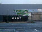
Intersection Directional Sign:
ID sign facing Brazenor St in Delacombe, July 2013.
Image © Rob Tilley
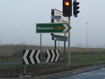
Intersection Directional Sign:
ID sign at the junction with Brazenor St in Delacombe, July 2013.
Image © Rob Tilley
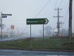
Intersection Directional Sign:
ID sign at the junction with Brazenor St in Delacombe, July 2013.
Image © Rob Tilley

Advance Directional Sign:
AD sign approaching the roundabout with Wiltshire Ln and Learmonth St (C307) at Delacombe, July 2013.
Image © Rob Tilley

Intersection Directional Sign:
ID sign on the roundabout with Wiltshire Ln and Learmonth St (C307) at Delacombe, July 2013.
Image © Rob Tilley
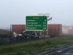
Distance Sign:
Reassurance directional sign at Delacombe, July 2013.
Image © Rob Tilley
1 VIC Government, VicRoads, Road Management Plan 2020-2021, 07 December 2020.


