Road Photos & Information: Victoria
Bridgewater-Maldon Road, Wimmera Highway and Castlemaine-Maldon Road (C282)
Statistics:
- Length:
- 64 km
- Termini:
- Northern: Calder Hwy (A79), Bridgewater on Loddon
- Southern: Pyrenees Hwy (B180), McKenzie Hill
- Suburbs, Towns & Localities Along Route:
- McKenzie Hill, Muckleford, Gower, Maldon, Neereman, Laanecoorie, Newbridge and Bridgewater on Loddon
Route Numbering:
- Current: C282
- Multiplexed with: B240 C283
- Road Authority Internal Classification: 1
- 5203 (Bridgewater on Loddon to Newbridge and Newbridge to Maldon
- 5204 (Maldon to McKenzie Hill)
- 6110 (Newbridge)
General Information:
C282 is a rural route connecting the Calder Hwy (A79) with the Pyrnees Hwy (B180) in Victoria's mid northwest.
Multiplexes along the route include:
- B240, for 1 km, Newbridge.
- C283, for 2 km, Maldon.
History:
- 2008: installation of vehicle activated flashing lights on both approaches on Bridgewater-Maldon Road, Laanecoorie. 2
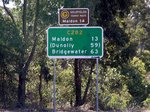
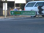
Mackenzie Hill to Bridgewater on Loddon
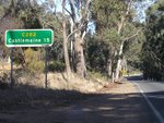
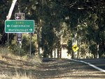
Bridgewater on Loddon to Mackenzie Hill
1 VIC Government, VicRoads, Road Management Plan 2020-2021. 07 December 2020.
2 VIC Government, Premier of Victoria, Minister for Roads & Ports, Media Release, Road Safety Boost for Ballarat, 24 July 2008.
2 VIC Government, Premier of Victoria, Minister for Roads & Ports, Media Release, Road Safety Boost for Ballarat, 24 July 2008.
