Road Photos & Information: Victoria
Stawell-Avoca Road, Ararat-St Arnaud Road and Pomonal Road (C221)
Statistics:
- Length:
- 91 km
- Termini:
- Eastern: Sunraysia Highway (B220), Tanwood
- Western: Ararat-Halls Gap Road (C222), Pomonal
- Suburbs, Towns & Localities Along Route:
- Pomonal, Lake Fyans, Stawell, Bridge Inn, Greens Creek, Navarre, Moonambel and Tanwood
Route Numbering:
- Current: C221
- Multiplexed with: C241
- Road Authority Internal Classification: 1
- 5135 (Pomonal to Stawell)
- 5245 (Stawell to Tanwood)
- 5247 (Navarre)
General Information:
C221 is a rural connector route in Western Victoria, connecting the Sunraysia Highway (B220) north of Avoca at Tanwood to the medium sized town of Stawell and then eventually to the Grampians National Park.
Multiplexes along the route include:
- C241, for 500 m, Navarre.
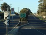
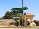
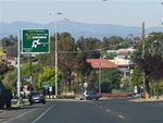
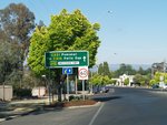
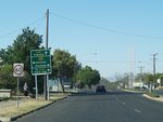
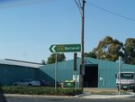
Pomomal to Tanwood
Tanwood to Pomomal
1 VIC Government, VicRoads, Road Management Plan 2020-2021, 07 December 2020.
