Road Photos & Information: Victoria
Penshurst-Warrnambool Road (C177)
Statistics:
- Length:
- 4 km
- Termini:
- Northern: Penshurst-Warrnambool Road (C183), Mailors Flat-Koroit Rd (C183) and Burrells Flat Rd (unnumbered), Southern Cross
- Southern: Princes Hwy (A1), Illowa
- Suburbs, Towns & Localities Along Route:
- Southern Cross and Illowa
Route Numbering:
- Current: C177
- Road Authority Internal Classification: 1
- 5122
General Information:
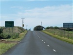
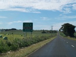
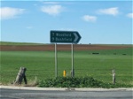
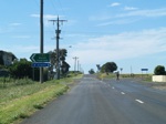
C177 is a short rural route in the Moyne Shire used to connect the town of Southern Cross to the Princes Highway a few kilometres south. Also known as Southern Cross Road, the route services mostly rural properties and crosses the Point Fairy to Warrnambool Rail Trail.
Illowa to Southern Cross
1 VIC Government, VicRoads, Road Management Plan 2020-2021, 07 December 2020.


