Road Photos & Information: Victoria
Mallee Highway (B12)
Statistics:
- Length:
- 226 km
- Termini:
- Eastern: NSW Border, Piangil
- Western: SA Border, Panitya
- Miscellaneous:
- Continues as Mallee Hwy (B12) in South Australia and Tooleybuc Rd (unnumbered) into NSW
- Suburbs, Towns & Localities Along Route:
- Panitya, Murrayville, Cowangie, Boinka, Underbool, Walpeup, Ouyen, Manangatang and Piangil
Route Numbering:
- Current: B12
- Multiplexed with: A79 B400
- Former: 12
- Road Authority Internal Classification: 1
- 6650
General Information:
B12 is an east-west rural route crossing the north-western part of Victoria. Servicing the Mallee region it links a number of major highways with Adelaide. The route is named after the region it passes through.
Multiplexes along the route include:
- A79, for 100 m, Ouyen.
- B400, for 2 km, Piangil.
History:
- November 1996: Reconstruction of 1.7 km of highway, 25 km east of Ouyen. 2
- 1999: NR12 replaced by B12.
- December 2018: Installation of rumble strips between Tooleybuc and Ouyen to alert drivers when they're veering out of their lane. 3
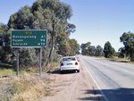
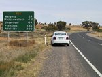
South Australian Border to New South Wales Border
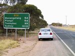
New South Wales Border to South Australian Border
1 VIC Government, VicRoads, Road Management Plan, 2020-2021, 07 December 2020.
2 Mildura City Council Review, November 1997
3 VIC Government, Regional Roads Victoria, Media Release, We're improving safety along Donald-Swan Hill Road as part of Towards Zero.


