Road Photos & Information: Tasmania
Castra Road (B15)
Statistics:
- Length:
- 32 km
- Termini:
- Northern: Main St (C142), Eastland Dr (C142) and Finch St, Ulverston
- Southern: Loongana Road (C128) and South Nietta Road (C129), Nietta
- Suburbs, Towns & Localities Along Route:
- Nietta, Upper Castra, Castra, Sprent, Spalford, Abbotsham and Ulverstone
Route Numbering:
- Current: B15
General Information:
B15 is a rural route that serves a very rich farming district and is the main tourist access route from Ulverstone to Leven Canyon, a fairly spectacular state park including the very deep gorge of the Leven River. 1
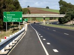
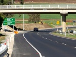
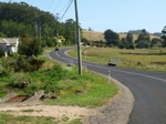
Nietta to Ulverstone
Ulverstone to Nietta
1 Peter Renshaw.


