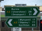
Road Photos & Information: Tasmania
Bass Highway (A2)
Statistics:
- Length:
- 131 km
- Termini:
- Eastern: Bass Hwy (NH1), Mount St (B18 and unnumbered), Burnie
- Western: Arthur River Rd (C214) and Comeback Rd (C215), Marrawah
- Miscellaneous:
- Continues as Bass Highway (NH1), Burnie
- Suburbs, Towns & Localities Along Route:
- Burnie, Cooee, Ocean Vista, Camdale, Somerset, Wynyard, Boat Harbour, Sisters Creek, Montumana, Rocky Cape, Detention, Hellyer, Edgecombe Beach, Crayfish Creek, Port Latta, Cowrie Point, Black River, Wiltshire, Smithton, Broadmeadows, Christmas Hills, Brittons Swamp, Redpa, and Marrawah
Route Numbering:
- Current: A2
- Former: 2
- Road Authority Internal Classification: 1
- A0249
General Information:
A2 is an east-west route linking the city of Burnie with smaller towns to the west. The route is named after explorer George Bass, an English surgeon and sailor who confirmed that Van Dieman's Land (now Tasmania) was separated by a body of water from the rest of Australia, by sailing along the strait and returning via the southern coast of the island. 2
For quite a length of the route it generally follows the coast, before heading inland towards the western end. The route services mostly commercial, residential and rural areas.
History:
- DATE 1: INFORMATION.
- DATE 2: INFORMATION.
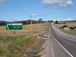
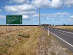
Marrawah to Burnie
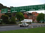
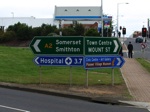
Burnie to Marrawah
1 TAS Government, Department of State Growth, State Roads, Asset Information, TRIPS: Tasmanian Road Information Positioning System, December 2020.
2 Australian National University, Australian Dictionary of Biography, Bass, George (1771–1803) by Keith Macrae Bowden.
2 Australian National University, Australian Dictionary of Biography, Bass, George (1771–1803) by Keith Macrae Bowden.
