Statistics:
- Length:
- 293 km
- Termini:
- Northern: The Outback Hwy (unnumbered) and Strzelecki Track (unnumbered)
- Southern: Augusta Hwy (A1), Stirling North
- Suburbs, Towns & Localities Along Route:
- Lyndhurst, Copley, Leigh Creek, Parachilna, Hawker, Kanyaka, Willochra, Quorn and Stirling North
Route Numbering:
- Current: B83
- Former: 47 83
- Road Authority Internal Classification: 1
- 01100 (Lyndhurst to Hawker)
- 03006 (Hawker to Stirling North)
General Information:
B83 is a rural and outback South Australian route, which crosses the Flinders Ranges near Port Augusta. The route services several small communities and the mining centre of Leigh Creek.
History:
- September 2004: Upgrade of the Quorn Road (Flinders Ranges Way), Silo Road and West Terrace intersection in Quorn. Changes to the junction include a staggered T-junction and dedicated turn / slip lanes. 2

Intersection Directional Sign Assembly:
ID signs facing traffic from Sixth Street (B82) in Quorn. June 2008.
Image © Darrin Smith
Distance Sign:
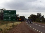
RD sign with old, now defunct route numbering as you leave Quorn. June 2008.
Image © Darrin Smith

Black ID Sign:
Black intersection directional sign on the corner of Cradock and Wilpena Roads in Hawker, June 2008. Cradock Road is a former NR83 alignment.
Image © Darrin Smith
ID Sign:
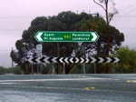
Intersection directional sign facing Wilpena Road traffic in Hawker, June 2008.
Image © Darrin Smith
Distance Sign:
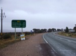
RD sign as you leave the town of Hawker, June 2008.
Image © Darrin Smith

Reassurance Directional Sign:
Distance sign with remnant NR83 shield at Parachilna, April 2014.
Image © Richard Wardle
AD Sign:
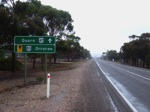
Advance directional sign with old defunct route numbers, approaching Druid Range Dr in Hawker. June 2008.
Image © Darrin Smith
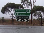
Black ID Sign:
Black intersection directional sign, with slightly newer ID signs, all with old defunct route numbering. These face Druid Range Drive at Hawker, June 2008.
Image © Darrin Smith
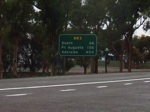
Distance Sign:
RD sign after Druid Range Drive at Hawker. June 2008.
Image © Darrin Smith
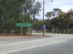
Intersection Directional Sign:
Southbound intersection directional sign with old NR47 shield near East Terrace as you travel along Railway Terrace in Quorn, June 2008.
Image © Darrin Smith

Advance Directional Sign:
AD sign on Flinders Ranges Way (Railway Tce) (B83) at Quorn approaching Horrocks Hwy (Sixth St) (B82), April 2014.
Image © Richard Wardle
1 SA Government, Location SA Map Viewer.
1 SA Government, Transport SA.


