Road Photos & Information: South Australia
RM Williams Way (B80)
Statistics:
- Length:
- 214 km
- Termini:
- Northern: Hawker-Stirling North Road (B83), Hawker
- Southern: Main North Road (B82), Stanley Flat
- Suburbs, Towns & Localities Along Route:
- Hawker, Cradock, Yanyarrie, Carrieton, Eurelia, Wallaway, Orroroo, Black Rock, Yatina, Mannanarie, Jamestown, Bundaleer North, Washpool, Spalding, Euromina, and Stanley Flat
Route Numbering:
- Current: B80
- Multiplexed with: B56 B64 B79
- Former: 83
- Road Authority Internal Classification: 1
- 03000 (Orroroo to Hawker)
- 03163 (Black Rock to Orroroo)
- 03329 (Stanley Flat to Black Rock)
General Information:
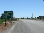
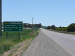
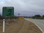
RM Williams Way major road in South Australia's mid north, which runs between Stanley Flat (near Clare) and Hawker, via Jamestown. The route is named in honour of the bush clothing businessman was born in 1908 in the town of Jamestown, which the route passes through. 2
Multiplexes along the route include:
- B56, for 13 km, between Orroroo and Black Rock.
- B64, for 4 km, Spalding.
- B79, for 18 km, between Jamestown and Mannanarie.
History:
- 1998: National Route 83 replaced with B80 with the introduction of alphanumeric numbering in SA.
- February 2008: RM Williams Way name launched. 3
- 2015: Resealing, as well as shoulder sealing and installation of audio tactile line marking along 6 kilometres of the RM Williams Way between Clare and Spalding. 4
- February 2015: A 150 metre section of RM Williams Way widened to make it easier for vehicles travelling north to pass stationery vehicles preparing to enter the Clare Valley Aerodrome. 5
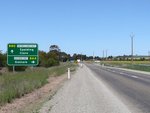
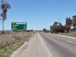
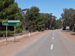
Stanley Flat to Hawker
Hawker to Stanley Flat

Advance Directional Sign:
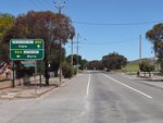
AD sign on Fourth Street, approaching the intersection with Second Street in Orroroo, June 2008. Click or tap here for a photo of this location by Michael Greenslade from December 2003.
Image © Darrin Smith
1 Location SA Map Viewer.
2 Australian Broadcasting Corporation.
3 SA Government.
4 SA Government, Department of Planning, Infrastructure & Transport, News, Mid North and Yorke Peninsula to benefit from major investment in roads, 22 Jun 2015.
5 SA Government, Department of Planning, Infrastructure & Transport, News, Safer access to Clare Valley aerodrome, 02 Feb 2015.
