Statistics:
- Length:
- 12 km
- Termini:
- Northern: Port Wakefield Road (A1) and North-South Motorway (M2), Paralowie
- Southern: North East Road (A10), Modbury
- Suburbs, Towns & Localities Along Route:
- Paralowie, Parafield, Salisbury South, Salisbury East, Para Hills, Modbury Heights and Modbury
Route Numbering:
- Current: A18
- Road Authority Internal Classification: 1
- 05066 (Paralowie)
- 05405 (Salisbury South to Modbury)
- 05403 (Paralowie to Salisbury South)
General Information:
A18 services Adelaide's northern suburbs. It is dual carriageway from the Salisbury Hwy (A9) junction through the intersection with North East Road (A10) in Modbury. The rest of the route is undivided.
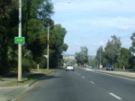
Trailblazer:
Southbound reassurance marker on Kings Road at Parafield, near Amsterdam Crescent. April 2007.
Image © Darrin Smith
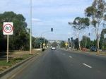
Kings Road:
Southbound on Kings Road at Parafield, near Thomas More College. April 2007.
Image © Darrin Smith
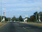
Level Crossing:
Southbound through the Kings Road railway level crossing at Parafield. April 2007.
Image © Darrin Smith
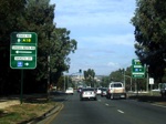
Advance Directional Sign:
AD sign approaching Cross Keys Road and Dakota Drive at Parafield / Salisbury South, April 2007.
Image © Darrin Smith
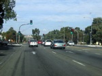
Approaching Cross Keys Road and Dakota Drive:
Southbound at the intersection with Cross Keys Road and Dakota Drive at Salisbury South, April 2007.
Image © Darrin Smith
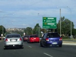
Advance Directional Sign:
Southbound AD sign for Main North Road (A20) at Salisbury South. April 2007.
Image © Darrin Smith
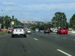
Main North Road Intersection:
Southbound through the junction with A20 - Main North Road, at Salisbury South, April 2007.
Image © Darrin Smith
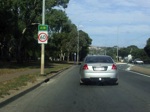
Reassurance Trailblazer:
Southbound trailblazer on McIntyre Road at Peacock Road intersection, Salisbury East, April 2007.
Image © Darrin Smith
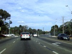
Bridge Road Intersection:
Southbound approaching the signalised junction with Bridge Road in Salisbury East, April 2007.
Image © Darrin Smith
1 SA Government, Location SA Map Viewer.


