Statistics:
- Length:
- 45 km
- Termini:
- Northern: Port Road (A7), Queenstown
- Southern: Main South Road (B23) and Tatachilla Road, Maslin Beach
- Suburbs, Towns & Localities Along Route:
- Queenstown, Hendon, Royal Park, Seaton, Fullham Gardens, Fullham, Adelaide Airport, West Beach, Glenelg North, Glenelg, Glenelg East, Somerton Park, North Brighton, Hove, Brighton, South Brighton, Seacliff Park, Seacliff, Seaview Downs, Sheidow Park, Hallett Cove, Lonsdale, Christie Downs, Christies Beach, Port Noarlunga, Port Noarlunga South, Seaford Meadows, Seaford, Seaford Rise, Moana and Maslin Beach
Route Numbering:
- Current: A15
- Road Authority Internal Classification:
- 05833 (Queenstown to Glenelg)
- 06604 (Glenelg to Port Noarlunga)
- 06860 (Port Noarlunga)
- 06866 (Port Noarlunga to Maslin Beach)
- 04769 (Maslin Beach)
General Information:
A15 is a north-south route that covers most of Adelaide's beachside suburbs, running past Adelaide Airport and paralleling, for the most part, the Noarlunga Train Line. Places of interest located along the route include Royal Adelaide Golf Course, Adelaide Shores Golf Park and Harbour Town shopping centre.
History:
- 28 September 2005: Upgrade of a traffic signal controller at the intersection of Tapleys Hill Road and Clark Terrace at Seaton 2
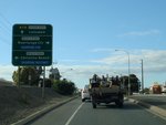
Advance Directional Sign:
AD sign on Dyson Road, approaching Beach Road at Christies Beach, September 2009.
Image © Paul Rands
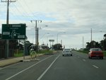
Advance Directional Sign:
AD sign on Dyson Road, approaching the roundabout with Gulfview Road and Flaxmill Road at Christies Beach, September 2009.
Image © Paul Rands
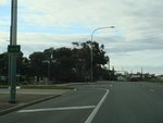
Trailblazer:
A15 trailblazer after the roundabout with Gulfview Road and Flaxmill Road at Christies Beach, September 2009.
Image © Paul Rands
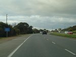
Entering Lonsdale:
Lonsdale Road as it enters Lonsdale, September 2009.
Image © Paul Rands
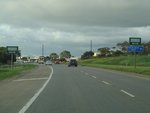
Approaching O'Sullivan Beach Road:
Lonsdale Road in Lonsdale as it approaches the intersection with O'Sullivan Beach Road, September 2009.
Image © Paul Rands
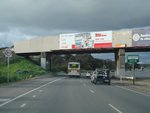
Railway Overpass:
The railway overpass near Lonsdale station, approaching Aldenhoven Road, September 2009.
Image © Paul Rands
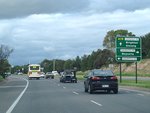
Advance Directional Sign:
AD sign approaching Sherriffs Road in Lonsdale, September 2009.
Image © Paul Rands
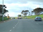
Trailblazer:
A15 trailblazer after the Sherrifs Rd junction in Lonsdale, September 2009.
Image © Paul Rands
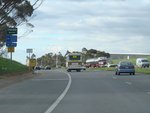
Approaching Meyer Road:
Lonsdale Rd approaching the intersection with Meyer Rd in Lonsdale, September 2009.
Image © Paul Rands
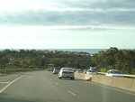
Lonsdale:
Looking out to the Gulf of St Vincent, as Londsale Road makes its way through the hilly suburb of Lonsdale, September 2009.
Image © Paul Rands
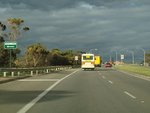
Approaching Gretel Crescent:
Lonsdale Rd as it approaches Gretel Cres in Hallett Cove, September 2009.
Image © Paul Rands
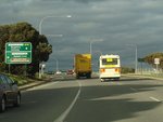
Advance Directional Sign:
AD sign approaching The Cove Road at Hallett Cove, September 2009.
Image © Paul Rands
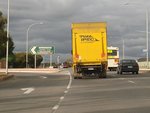
The Cove Road Junction:
Corner of Lonsdale Rd & The Cove Rd in Hallett Cove, September 2009.
Image © Paul Rands
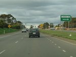
Approaching Lander Road:
Lonsdale Rd as it approaches Lander Road in Hallett Cove, September 2009.
Image © Paul Rands
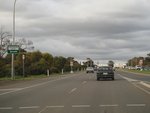
Approaching Barramundi Drive:
Lonsdale Road as it approaches Barramundi Drive in Hallett Cove, September 2009.
Image © Paul Rands
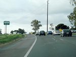
Approaching Perry Barr Road:
Lonsdale Road as it approaches Perry Barr Road in Hallett Cove, September 2009.
Image © Paul Rands
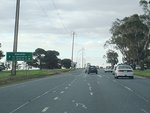
Advance Directional Sign:
AD sign approaching the intersection with Majors Road in Hallett Cove, September 2009. A15 changes name from Lonsdale Road to Ocean Boulevard from this intersection.
Image © Paul Rands
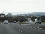
Seacliff Park:
Ocean Boulevard at Seacliff Park, overlooking the suburbs of Marino, Seacliff and Kingston Park with Holdfast Bay in the distance, September 2009.
Image © Paul Rands
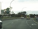
Advance Directional Sign:
AD sign at Seacliff Park, as Ocean Boulevard approaches Sholefield Road. September 2009. A15 becomes Brighton Road after this junction.
Image © Paul Rands
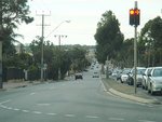
Corner of Brighton & Secombe Roads:
Looking north towards South Brighton and Brighton, at the signalised junction of Brighton and Secombe Roads in Seacliff Park, September 2009.
Image © Paul Rands
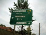
Advance Directional Sign:
Southbound as you approach the intersection with Old Port Road in Queenstown. December 2004.
Image © Darrin Smith
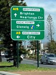
Advance Directional Sign:
Southbound on Brighton Rd (A15) approaching the intersection with Anzac Hwy (A5 and unnumbered) at Glenelg North, September 2019.
Image © Dean Sherry
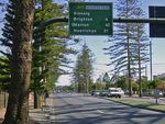
Distance Sign:
RD sign on Brighton Rd (A15) at Glenelg North, December 2003.
Image © Michael Greenslade
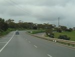
Ocean Boulevard:
A15 as it makes its way up the hill at Seacliff Park, September 2009.
Image © Paul Rands
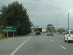
Distance Sign:
RD sign on Lonsdale Road in Trott Park, approaching Perry Barr Road, September 2009. This sign probably pre-dates the introduction of alphanumeric route numbering in SA.
Image © Paul Rands
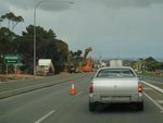
Approaching Lander Road:
Lonsdale Rd as it approaches Lander Rd in Sheidow Park, September 2009.
Image © Paul Rands
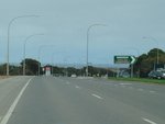
The Cove Road Intersection:
Corner of Lonsdale Rd and The Cove Road in Hallett Cove, September 2009.
Image © Paul Rands
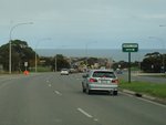
Approaching Gretel Crescent:
Lonsdale Road approaching Gretel Crescent in Hallett Cove, with the Gulf of St Vincent in the background, September 2009.
Image © Paul Rands
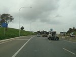
Entering Lonsdale:
Lonsdale Rd as it enters Lonsdale near Meyer Rd, September 2009.
Image © Paul Rands
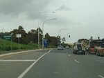
Approaching Lindsay Road:
Lonsdale Rd approaching Lindsay Rd in Lonsdale, September 2009.
Image © Paul Rands
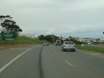
Advance Directional Sign:
Lonsdale Road as it approaches Sherriffs Road in Lonsdale, September 2009. A15 becomes Dyson Road beyond this junction.
Image © Paul Rands
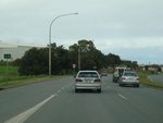
Trailblazer:
A15 trailblazer on Dyson Road in Lonsdale, September 2009.
Image © Paul Rands
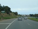
Approaching Aldenhoven Road:
Dyson Road in Lonsdale, approaching Aldenhoven Road, September 2009.
Image © Paul Rands
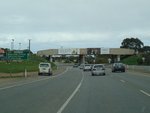
Distance Sign:
RD sign with railway overpass in the background, near Lonsdale railway station, September 2009.
Image © Paul Rands
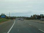
Approaching O'Sullivan Beach Road:
Dyson Rd approaching O'Sullivan Beach Rd in Lonsdale, September 2009.
Image © Paul Rands
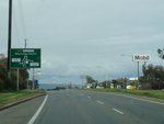
Advance Directional Sign:
AD sign at Christies Beach, approaching the roundabout with Gulfview Road and Flaxmill Road, September 2009.
Image © Paul Rands
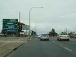
AD Sign:
Advance directional sign approaching the intersection with Beach Road at Christies Beach, September 2009.
Image © Paul Rands
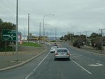
Approaching Goldsmith Drive & Hinton Street:
Dyson Rd at Christies Beach, as it approaches the roundabout with Goldsmith Dr & Hinton St, September 2009.
Image © Paul Rands
1 SA Government, Location SA Map Viewer.
2 SA Government, Transport SA, News & Media Releases, Traffic light upgrade - Tapleys Hill Road and Clark Terrace, Seaton, 26 September 2005.


