Statistics:
- Length:
- 36 km
- Termini:
- Northern: Beaudesert-Nerang Rd (SR90 / TD8), Nerang
- Southern: Numinbah Gate at the NSW Border, Natural Bridge
- Miscellaneous:
- Continues as Tourist Drive 34 in NSW
- Suburbs, Towns & Localities Along Route:
- Natural Bridge, Numinbah Valley, Advancetown, Mount Nathan and Nerang
Route Numbering:
- Current: 97
- Road Authority Internal Classification: 1
- 201
General Information:
State Route 97 is a rural route, providing access to a number towns popular with tourists as well as Lamington National Park and Springbrook National Park. The undivided and winding route also passes Hinze Dam and Advancetown Lake to its west.

NSW-QLD Border:
Looking north at the southern terminus of SR97 at Natural Bridge, July 2018.
Image © Rob Tilley

NSW-QLD Border:
Looking north at the southern terminus of SR97 at Natural Bridge, February 2016.
Image © Michael Greenslade

Reassurance Directional Sign:
Distance sign at Natural Bridge, July 2018.
Image © Rob Tilley

Advance Directional Sign:
AD sign approaching Bakers Rd at Natural Bridge, February 2016.
Image © Michael Greenslade
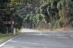
bakers Rd:
Nerang-Murwillumbah Rd (SR97) at the Bakers Rd junction, Natural Bridge, July 2018.
Image © Rob Tilley
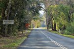
Entering Numinbah Valley:
Nerang-Murwillumbah Rd (SR97) as it enters the town of Numinbah Valley, July 2018.
Image © Rob Tilley
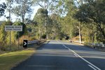
Nerang River:
Nerang-Murwillumbah Rd (SR97) as it crosses Nerang River via Priems Crossing, July 2018.
Image © Rob Tilley
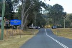
Numinbah Valley Village:
Nerang-Murwillumbah Rd (SR97) as it enters Numinbah Valley Village, July 2018.
Image © Rob Tilley
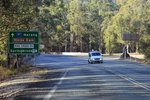
Advance Directional Sign:
AD sign at Numinbah Valley approaching Pine Creek Rd, July 2018.
Image © Rob Tilley

Pine Creek Road:
Corner of Nerang-Murwillumbah Rd (SR97) and Pine Ck Rd at Numinbah Valley, February 2016.
Image © Michael Greenslade
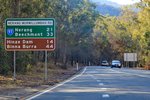
Reassurance Directional Sign:
Distance sign at Numinbah Valley, July 2018.
Image © Rob Tilley
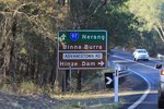
Advance Directional Sign:
AD sign at Advancetown approaching Advancetown Rd, July 2018.
Image © Rob Tilley
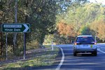
Advancetown Road:
Corner of Nerang-Murwillumbah Rd (SR97) and Advancetown Rd at Advancetown, July 2018.
Image © Rob Tilley
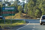
Reassurance Directional Sign:
Distance sign at Clagiraba, July 2018.
Image © Rob Tilley
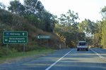
Advance Directional Sign:
AD sign approaching Beechmont Rd at Clagiraba, July 2018.
Image © Rob Tilley
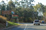
Beechmont Road:
Corner of Nerang-Murwillumbah Rd (SR97) and Beechmont Rd at Clagiraba, July 2018.
Image © Rob Tilley
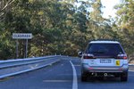
Entering Clagiraba:
Nerang-Murwillumbah Rd (SR97) as it enters the town of Clagiraba, July 2018.
Image © Rob Tilley
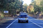
Entering Mount Nathan:
Nerang-Murwillumbah Rd (SR97) as it enters the town of Mt Nathan, July 2018.
Image © Rob Tilley

Advance Directional Sign:
AD sign at Nerang approaching Beaudesert-Nerang Rd (SR90 / TD8), July 2018.
Image © Rob Tilley

Reassurance Directional Sign:
Distance sign at Numinbah Valley, February 2016.
Image © Michael Greenslade

Intersection Directional Sign:
ID sign facing Bakers Rd at Natural Bridge, July 2018.
Image © Rob Tilley
1 QLD Government, Department of Transport and Main Roads, South Coast Road Region Map, November 2022.


