Road Photos & Information: Queensland
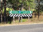
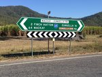
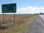
Mackay-Eungella Road (State Route 64)
Statistics:
- Length:
- 70 km
- Termini:
- Eastern: Peak Downs Highway (SR70), Alexandra
- Western: Bee Creek Road (unnumbered) and Eungella Dam Road (unnumbered), Eungella
- Suburbs, Towns & Localities Along Route:
- Eungella, Netherdale, Finch Hatton, Pinnacle, Gargett, Benholme, Mirani, Marian, Pleystowe, Walkerstone and Alexandra
Route Numbering:
- Current: 64
- Road Authority Internal Classification: 1
- 532
General Information:
State Route 64 is a rural route linking Mackay with the Eungella Dam area and nearby forests. The route consists of undivided roadway, which passes through mostly farmland, and a few residential and commercial areas.
Eungella to Alexandra
1Queensland Government, The State Road Network of Queensland Map, Mackay / Whitsunday Region, November 2022.


