Road Photos & Information: Queensland
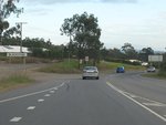
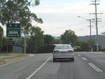
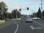
Blackstone Road, Thomas Street, Mary Street, Redbank Plains Road and Queen Street (State Route 61)
Statistics:
- Length:
- 15 km
- Termini:
- Eastern: Ipswich Mwy (M2), Goodna
- Western: South Station Rd (SR39), Silkstone
- Suburbs, Towns & Localities Along Route:
- Silkstone, Blackstone, New Chum, Redbank Plains, Bellbird Park and Goodna
Route Numbering:
- Current: 61
General Information:
State Route 61 is an arterial route through Ipswich's eastern suburbs, linking them with the Ipswich CBD and Cunningham Hwy (M15). The route is a mix of divided and undivided roadway, that passes through residential, commercial and industrial areas.
History:
- 2012: Duplication of Redbank Plains Road at Blackstone.


