Road Photos & Information: Queensland
Old Cleveland Road East (State Route 55)
Statistics:
- Length:
- 3 km
- Termini:
- Eastern: Old Cleveland Rd East (SR46 / South Moreton Bay Tourist Drive), Main Road (SR46 / South Moreton Bay Tourist Drive) and Allenby Rd (unnumbered), Wellington Point
- Western: Old Cleveland Rd (SR54) and Birkdale Rd (SR54), Birkdale
- Suburbs, Towns & Localities Along Route:
- Birkdale and Wellington Point
Route Numbering:
- Current: 55
General Information:
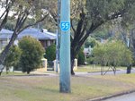
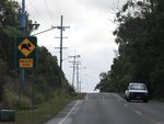
State Route 55 is a very short connector route in Brisbane's bayside, which is mostly undivided and passes generally through a residential area.


