Road Photos & Information: Queensland
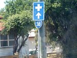
East Street, Pine Street, The Terrace, Downs Street, Pine Mountain Road and Ipswich-Warrego Highway Connection Road (State Route 38)
Statistics:
- Length:
- 7 km
- Termini:
- Northern: Warrego Hwy (Darren Lockyer Way) (M2 and A2) and Fotheringham Rd (unnumbered), Brassall
- Southern: Limestone St (SR62 / Cobb & Co Tourist Dr) and East St (unnumbered), Ipswich
- Suburbs, Towns & Localities Along Route:
- Ipswich, North Ipswich and Brassall
Route Numbering:
- Current: 38
- Multiplexed with:
- Road Authority Internal Classification: 1
- 302
General Information:
State Route 38 is a short arterial route connecting the Ipswich CBD with the Warrego Hwy (M2), north of the city. The route is mostly undivided and passes through residential and commercial areas.
The section of the route between Ipswich CBD and Ipswich-Warrego Highway Connection Road was once part of the Warrego Highway.
Multiplexes along the route include:
- Cobb & Co Tourist Drive, for 2 km, between Ipswich and North Ipswich.
History:
- 1965: David Trumpy Bridge across the Bremer was opened, and the 1865 road bridge was demolished, leaving only its abutments. 2
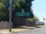
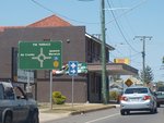
Ipswich to Brassall
Brassall to Ipswich
1 QLD Government, Department of Transport and Main Roads, Queensland state-controlled roads and region maps, Metropolitan Region, November 2022.
2 QLD Government, Department of Environment and Resource Management, Queensland Heritage Register, Heiner Road Railway Overpass.
2 QLD Government, Department of Environment and Resource Management, Queensland Heritage Register, Heiner Road Railway Overpass.


