Statistics:
- Length:
- 20 km
- Termini:
- Northern: Moggill Rd (SR33), Pinjarra Hills
- Southern: Downs St (SR38), Pine Mountain Rd (SR38) and Delacy St (unnumbered), North Ipswich
- Suburbs, Towns & Localities Along Route:
- North Ipswich, Tivoli, North Tivoli, Chuwar, Karana Downs, Mount Crosby, Anstead and Pinjarra Hills
Route Numbering:
- Current: 37
- Multiplexed with:
- Road Authority Internal Classification: 1
- 3042
General Information:
State Route 37 is a connector route the links Brisbane's western suburbs with Ipswich.
Mostly undivided, the route passes through semi-rural and residential areas as well as bushland. It crosses the Warrego Hwy (A2) at North Tivoli. It also features a low level crossing of the Brisbane River, named College's Crossing.
Multiplexes along the route include:
- Cobb & Co Tourist Drive, for 4 km, between North Ipswich and North Tivoli.
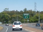
Intersection Directional Sign:
ID sign on Moggill Rd (SR33) approaching Mt Crosby Rd (SR37) at Pinjarra Hills, October 2009.
Image © Rob Tilley
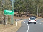
Distance Sign:
Reassurance directional sign sign at Anstead, October 2009.
Image © Rob Tilley
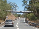
Overhead Pipeline:
Mt Crosby Rd (SR37) at Mt Crosby as it passes under a large overhead pipe, October 2009.
Image © Rob Tilley
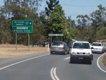
Advance Directional Sign:
AD sign on Mt Crosby Rd (SR37) at Karana Downs approaching Tanderra Way, October 2009.
Image © Rob Tilley
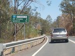
Distance Sign:
RD sign on Mt Crosby Rd (SR37) at Karana Downs, October 2009.
Image © Rob Tilley
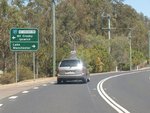
Advance Directional Sign:
AD sign on Mt Crosby Rd (SR37) approaching Lake Manchester Rd at Karana Downs, October 2009.
Image © Rob Tilley
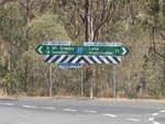
Fingerboard:
Fingerboard assembly at the junction with Lake Manchester Rd at Karana Downs, October 2009. Despite what the sign shows, SR37 turns left at this junction.
Image © Rob Tilley
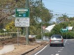
Advance Directional Sign:
AD sign at Mt Crosby approaching Stumers Rd, October 2009. SR37 turns left at this junction.
Image © Rob Tilley
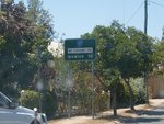
Distance Sign:
RD sign on Mt Crosby Rd (SR37) at Mt Crosby, October 2009.
Image © Rob Tilley
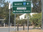
Advance Directional Sign:
AD sign on Mt Crosby Rd (SR37) at Karana Downs approaching College Rd, October 2009.
Image © Rob Tilley
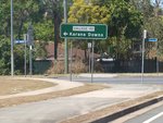
Intersection Directional Sign:
AD style ID sign at the College Rd junction in Karana Downs, October 2009.
Image © Rob Tilley
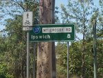
Distance Sign:
RD sign as Mt Crosby Rd (SR37) leaves Karana Downs, October 2009.
Image © Rob Tilley
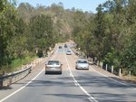
Brisbane River:
Mt Crosby Rd (SR37) as it crosses Brisbane River using the weir at Colleges Crossing at Mt Crosby, October 2009.
Image © Rob Tilley
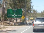
Advance Directional Sign:
AD sign approaching Junction Rd and Brodzig Rd at Chuwar, October 2009.
Image © Rob Tilley
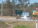
Intersection Directional Sign:
ID sign at the roundabout with Junction Rd and Brodzig Rd at Chuwar, October 2009.
Image © Rob Tilley
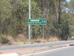
Intersection Directional Sign:
ID sign at the roundabout with Junction Rd and Brodzig Rd at Chuwar, October 2009.
Image © Rob Tilley
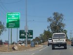
Motorway Prohibition Sign:
Typical motorway prohibition sign approaching Warrego Hwy (M2) interchange at Chuwar, October 2009.
Image © Rob Tilley
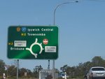
Advance Directional Sign:
AD sign at Chuwar approaching Warrego Hwy (M2) interchange, October 2009.
Image © Rob Tilley
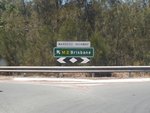
Warrego Highway:
Mt Crosby Rd (SR37) at the Warrego Hwy (M2) interchange at Chuwar, October 2009.
Image © Rob Tilley
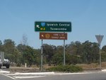
Warrego Highway:
Mt Crosby Rd (SR37) at the Warrego Hwy (M2) interchange at Chuwar, October 2009. The Cobb & Co Tourist Drive duplex begins here.
Image © Rob Tilley
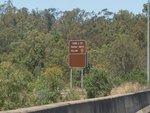
Warrego Highway:
Cobb and Co Tourist Drive sign at the Mt Crosby Rd (SR37) interchange with Warrego Hwy (M2) interchange at North Tivoli, October 2009.
Image © Rob Tilley
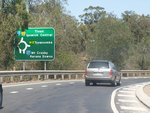
Warrego Highway:
Mt Crosby Rd (SR37) at the Warrego Hwy (M2) interchange at North Tivoli, October 2009.
Image © Rob Tilley
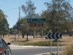
Warrego Highway:
Mt Crosby Rd (SR37) at the Warrego Hwy (M2) interchange at North Tivoli, October 2009.
Image © Rob Tilley
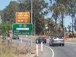
Distance Sign:
RD sign on Mt Crosby Rd (SR37) at North Tivoli, October 2009.
Image © Rob Tilley
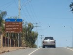
Cobb & Co Tourist Drive Distance Sign:
RD sign on Mt Crosby Rd (SR37) at North Tivoli, October 2009.
Image © Rob Tilley
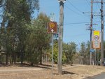
Trailblazer:
SR37 and Cobb & Co Tourist Drive trailblazer assembly near Church St in Tivoli, October 2009.
Image © Rob Tilley
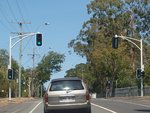
Vintage Signals:
Vintage traffic signal mast arms retrofitted with LED signals outside Tivoli State School, October 2009. These mast arms have since been replaced by modern structures.
Image © Rob Tilley
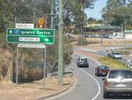
Advance Directional Sign:
AD sign on Mt Crosby Rd (SR37) approaching the non-numbered section of Mt Crosby Rd at Tivoli, October 2009. SR37 continues as Tantivy St from this junction.
Image © Rob Tilley
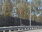
Trailblazer:
Cobb & Co Tourist Drive trailblazer assembly in Tivoli, October 2009.
Image © Rob Tilley
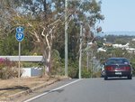
Trailblazer:
SR37 trailblazer assembly in Tivoli, October 2009.
Image © Rob Tilley
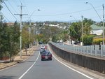
Split-Level Road:
Split-level section of roadway along Tantivy St (SR37) in Tivoli, October 2009.
Image © Rob Tilley
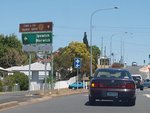
Advance Directional Sign:
AD sign on Delacy St (SR37) approaching Pine St in North Ipswich, October 2009.
Image © Rob Tilley

Trailblazers:
End SR37 trailblazer near the junction with Pine Mountain Rd (SR38) and Delacy St (Cobb & Co Tourist Drive) in North Ipswich, October 2009.
Image © Rob Tilley

Pine Mountain Road:
Delacy St (SR37) at the junction with Pine Mountain Rd (SR38) and Delacy St (Cobb & Co Tourist Drive) in North Ipswich, October 2009.
Image © Rob Tilley
1 QLD Government, Department of Transport and Main Roads, Queensland state-controlled roads and region maps, Metropolitan Region, November 2022.


